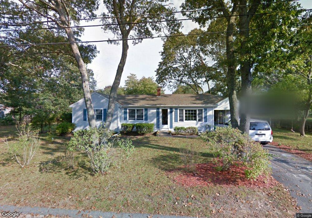
9 Spruce St Wareham, MA 02571
Estimated Value: $473,190 - $528,000
3
Beds
1
Bath
1,424
Sq Ft
$352/Sq Ft
Est. Value
About This Home
This home is located at 9 Spruce St, Wareham, MA 02571 and is currently estimated at $501,298, approximately $352 per square foot. 9 Spruce St is a home located in Plymouth County.
Ownership History
Date
Name
Owned For
Owner Type
Purchase Details
Closed on
Jul 29, 2011
Sold by
Edwards Michael T
Bought by
Potter Ryan and Potter Laura M
Current Estimated Value
Home Financials for this Owner
Home Financials are based on the most recent Mortgage that was taken out on this home.
Original Mortgage
$156,000
Outstanding Balance
$106,986
Interest Rate
4.52%
Mortgage Type
Purchase Money Mortgage
Estimated Equity
$394,312
Create a Home Valuation Report for This Property
The Home Valuation Report is an in-depth analysis detailing your home's value as well as a comparison with similar homes in the area
Purchase History
| Date | Buyer | Sale Price | Title Company |
|---|---|---|---|
| Potter Ryan | $195,000 | -- | |
| Potter Ryan | $195,000 | -- |
Source: Public Records
Mortgage History
| Date | Status | Borrower | Loan Amount |
|---|---|---|---|
| Open | Potter Ryan | $156,000 | |
| Closed | Potter Ryan | $156,000 | |
| Previous Owner | Potter Ryan | $25,000 |
Source: Public Records
Tax History
| Year | Tax Paid | Tax Assessment Tax Assessment Total Assessment is a certain percentage of the fair market value that is determined by local assessors to be the total taxable value of land and additions on the property. | Land | Improvement |
|---|---|---|---|---|
| 2025 | $3,992 | $383,100 | $125,100 | $258,000 |
| 2024 | $4,038 | $359,600 | $99,100 | $260,500 |
| 2023 | $3,870 | $321,700 | $90,000 | $231,700 |
| 2022 | $3,644 | $276,500 | $90,000 | $186,500 |
| 2021 | $3,605 | $268,000 | $90,000 | $178,000 |
| 2020 | $3,367 | $253,900 | $90,000 | $163,900 |
| 2019 | $3,291 | $247,600 | $90,500 | $157,100 |
| 2018 | $7,423 | $227,700 | $90,500 | $137,200 |
| 2017 | $2,872 | $213,500 | $90,500 | $123,000 |
| 2016 | $2,659 | $196,500 | $90,500 | $106,000 |
| 2015 | $2,568 | $196,500 | $90,500 | $106,000 |
| 2014 | $2,578 | $200,600 | $90,500 | $110,100 |
Source: Public Records
Map
Nearby Homes
- 2711 Cranberry Hwy
- 2697 Cranberry Hwy Unit 23
- 2645 Cranberry Hwy Unit A
- 103 Kimberly Ct
- 156 Sandwich Rd
- 2783 Cranberry Hwy
- 25 Linwood Ave
- 0 Charge Pond Rd
- 110 Mayflower Ridge Dr
- 55 Minot Ave Unit 55
- 2838 Cranberry Hwy
- 10 Oak St
- 437 Main St
- 102 Maple Springs Rd
- 91 Agawam Lake Shore Dr
- 124 Minot Ave Unit 1
- 9 Old Glen Charlie Rd
- 7 Knowles Ave
- 223 Charge Pond Rd
- 3 Michael Dr
Your Personal Tour Guide
Ask me questions while you tour the home.