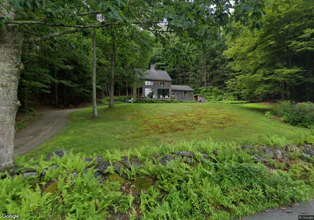
9 Stone Rd Buckland, MA 01338
Buckland NeighborhoodEstimated Value: $454,000 - $552,000
2
Beds
2
Baths
1,536
Sq Ft
$317/Sq Ft
Est. Value
About This Home
This home is located at 9 Stone Rd, Buckland, MA 01338 and is currently estimated at $487,153, approximately $317 per square foot. 9 Stone Rd is a home with nearby schools including Mohawk Trail Regional High School.
Ownership History
Date
Name
Owned For
Owner Type
Purchase Details
Closed on
Dec 21, 2007
Sold by
Ir Harriette C Johnson
Bought by
Duval Denise M and Dame Thomas C
Current Estimated Value
Home Financials for this Owner
Home Financials are based on the most recent Mortgage that was taken out on this home.
Original Mortgage
$232,700
Outstanding Balance
$147,289
Interest Rate
6.3%
Mortgage Type
Purchase Money Mortgage
Estimated Equity
$339,864
Create a Home Valuation Report for This Property
The Home Valuation Report is an in-depth analysis detailing your home's value as well as a comparison with similar homes in the area
Home Values in the Area
Average Home Value in this Area
Purchase History
| Date | Buyer | Sale Price | Title Company |
|---|---|---|---|
| Duval Denise M | $245,000 | -- |
Source: Public Records
Mortgage History
| Date | Status | Borrower | Loan Amount |
|---|---|---|---|
| Open | Duval Denise M | $232,700 |
Source: Public Records
Tax History
| Year | Tax Paid | Tax Assessment Tax Assessment Total Assessment is a certain percentage of the fair market value that is determined by local assessors to be the total taxable value of land and additions on the property. | Land | Improvement |
|---|---|---|---|---|
| 2025 | $6,854 | $404,600 | $101,300 | $303,300 |
| 2024 | $6,745 | $384,100 | $101,300 | $282,800 |
| 2023 | $59 | $352,400 | $101,300 | $251,100 |
| 2022 | $5,913 | $352,400 | $101,300 | $251,100 |
| 2021 | $5,677 | $318,200 | $101,300 | $216,900 |
| 2020 | $5,556 | $300,000 | $101,300 | $198,700 |
| 2019 | $5,317 | $285,400 | $101,300 | $184,100 |
| 2018 | $5,216 | $276,700 | $101,300 | $175,400 |
| 2017 | $4,994 | $276,700 | $101,300 | $175,400 |
| 2016 | $4,627 | $273,800 | $101,300 | $172,500 |
| 2015 | $4,600 | $273,800 | $101,300 | $172,500 |
Source: Public Records
Map
Nearby Homes
- 102 Elm St
- 13 Bray Rd
- 10 Deerfield Ave Unit 2
- 143 E Buckland Rd
- 7 Hog Hollow Rd
- 2151 Route 2
- 2155 Massachusetts 2
- 0 Upper St
- 31 W Oxbow Rd
- 24 W Oxbow Rd
- 5 Clesson Brook Rd
- 85 Dacey Rd
- 240 Beldingville Rd
- lot 1 Shelburne Falls Rd
- 0 W Oxbow Rd Unit 73453651
- 0 W Oxbow Rd Unit 248444
- 1451 Massachusetts 2
- 1451 Route 2 E
- 527 Main St
- 40 Suburban Dr
Your Personal Tour Guide
Ask me questions while you tour the home.