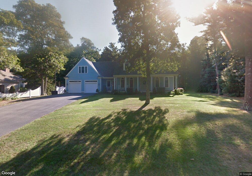
9 Victoria Ln East Falmouth, MA 02536
Hatchville NeighborhoodEstimated Value: $874,000 - $1,064,000
4
Beds
2
Baths
2,447
Sq Ft
$389/Sq Ft
Est. Value
About This Home
This home is located at 9 Victoria Ln, East Falmouth, MA 02536 and is currently estimated at $952,329, approximately $389 per square foot. 9 Victoria Ln is a home located in Barnstable County with nearby schools including Mullen-Hall School, Morse Pond School, and Lawrence School.
Ownership History
Date
Name
Owned For
Owner Type
Purchase Details
Closed on
Dec 6, 1993
Sold by
Holmes Stephen P and Holmes Philip R
Bought by
Farrell-Bowers Carolyn and Bowers Mark D
Current Estimated Value
Home Financials for this Owner
Home Financials are based on the most recent Mortgage that was taken out on this home.
Original Mortgage
$33,750
Interest Rate
6.69%
Mortgage Type
Purchase Money Mortgage
Create a Home Valuation Report for This Property
The Home Valuation Report is an in-depth analysis detailing your home's value as well as a comparison with similar homes in the area
Home Values in the Area
Average Home Value in this Area
Purchase History
| Date | Buyer | Sale Price | Title Company |
|---|---|---|---|
| Farrell-Bowers Carolyn | $45,000 | -- | |
| Farrell-Bowers Carolyn | $45,000 | -- |
Source: Public Records
Mortgage History
| Date | Status | Borrower | Loan Amount |
|---|---|---|---|
| Open | Farrell-Bowers Carolyn | $268,000 | |
| Closed | Farrell-Bowers Carolyn | $42,000 | |
| Closed | Farrell-Bowers Carolyn | $205,000 | |
| Closed | Farrell-Bowers Carolyn | $33,750 |
Source: Public Records
Tax History Compared to Growth
Tax History
| Year | Tax Paid | Tax Assessment Tax Assessment Total Assessment is a certain percentage of the fair market value that is determined by local assessors to be the total taxable value of land and additions on the property. | Land | Improvement |
|---|---|---|---|---|
| 2025 | $5,812 | $990,100 | $271,300 | $718,800 |
| 2024 | $5,438 | $865,900 | $242,200 | $623,700 |
| 2023 | $4,763 | $688,300 | $193,800 | $494,500 |
| 2022 | $4,679 | $581,300 | $168,300 | $413,000 |
| 2021 | $4,438 | $522,100 | $161,000 | $361,100 |
| 2020 | $4,359 | $507,400 | $146,300 | $361,100 |
| 2019 | $4,265 | $498,200 | $146,300 | $351,900 |
| 2018 | $4,216 | $490,200 | $146,300 | $343,900 |
| 2017 | $4,051 | $474,900 | $146,300 | $328,600 |
| 2016 | $3,975 | $474,900 | $146,300 | $328,600 |
| 2015 | $3,889 | $474,900 | $146,300 | $328,600 |
| 2014 | $3,754 | $460,600 | $151,000 | $309,600 |
Source: Public Records
Map
Nearby Homes
- 17 Pinewood Dr
- 273 Sandwich Rd
- 32 Jamie Ln
- 149 Brick Kiln Rd
- 70 Meredith Dr
- 100 Tanglewood Dr
- 68 Deepwood Dr
- 66 Braxton Rd
- 25 Harris Hill Rd
- 25 Percival Rd
- 12 Rock Hollow Dr
- 59 Whitecaps Dr
- 49 Broken Bow Ln
- 12 Beach Plum Path
- 131 Heritage Cir
- 49 Saint Marks Rd
- 144 Strawberry Meadows
- 144 Strawberry Meadow Unit 144
- 590 Sandwich Rd