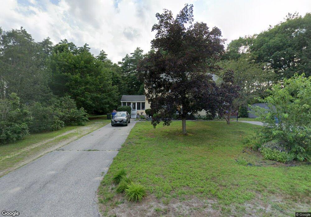
9 Walton Cir Unit B Londonderry, NH 03053
Estimated Value: $335,920 - $417,000
2
Beds
2
Baths
1,180
Sq Ft
$307/Sq Ft
Est. Value
About This Home
This home is located at 9 Walton Cir Unit B, Londonderry, NH 03053 and is currently estimated at $361,980, approximately $306 per square foot. 9 Walton Cir Unit B is a home located in Rockingham County with nearby schools including North Londonderry Elementary School, Londonderry Middle School, and Londonderry Senior High School.
Ownership History
Date
Name
Owned For
Owner Type
Purchase Details
Closed on
Apr 16, 2008
Sold by
Stickney Peter I and Stickney Diane E
Bought by
Reese Brian A
Current Estimated Value
Home Financials for this Owner
Home Financials are based on the most recent Mortgage that was taken out on this home.
Original Mortgage
$153,079
Interest Rate
6.1%
Mortgage Type
Purchase Money Mortgage
Create a Home Valuation Report for This Property
The Home Valuation Report is an in-depth analysis detailing your home's value as well as a comparison with similar homes in the area
Home Values in the Area
Average Home Value in this Area
Purchase History
| Date | Buyer | Sale Price | Title Company |
|---|---|---|---|
| Reese Brian A | $156,900 | -- |
Source: Public Records
Mortgage History
| Date | Status | Borrower | Loan Amount |
|---|---|---|---|
| Open | Reese Brian A | $146,500 | |
| Closed | Reese Brian A | $153,079 |
Source: Public Records
Tax History Compared to Growth
Tax History
| Year | Tax Paid | Tax Assessment Tax Assessment Total Assessment is a certain percentage of the fair market value that is determined by local assessors to be the total taxable value of land and additions on the property. | Land | Improvement |
|---|---|---|---|---|
| 2024 | $3,920 | $242,900 | $0 | $242,900 |
| 2023 | $3,801 | $242,900 | $0 | $242,900 |
| 2022 | $4,380 | $237,000 | $0 | $237,000 |
| 2021 | $4,356 | $237,000 | $0 | $237,000 |
| 2020 | $4,129 | $205,300 | $100,500 | $104,800 |
| 2019 | $3,981 | $205,300 | $100,500 | $104,800 |
| 2018 | $3,669 | $168,300 | $83,900 | $84,400 |
| 2017 | $3,637 | $168,300 | $83,900 | $84,400 |
| 2016 | $3,618 | $168,300 | $83,900 | $84,400 |
| 2015 | $3,538 | $168,300 | $83,900 | $84,400 |
| 2014 | $3,549 | $168,300 | $83,900 | $84,400 |
| 2011 | -- | $184,000 | $83,900 | $100,100 |
Source: Public Records
Map
Nearby Homes
- 1991 Bodwell Rd Unit 30
- 612 Megan Dr
- 628 Megan Dr
- 22 Eastmeadow Way
- 12 Forest Hill Way Unit 57
- 30 Bryant Rd
- 19 Auburn Rd
- 10 Auburn Rd
- 55 Norwich Place
- 40 Pinyon Place
- 34 Conifer Place
- 759 Cohas Ave
- 4 Crestview Cir Unit 119
- 46 Noyes Rd
- 1035 S Mammoth Rd Unit 6
- 195 Corning Rd
- 8 Barksdale Ave
- 133 Corning Rd
- 28 Barksdale Ave
- 32 Noyes Rd
- 9 Walton Cir Unit 9A
- 9 Walton Cir
- 7 Walton Cir
- 11 Walton Cir Unit B
- 11 Walton Cir
- 11 Walton Cir Unit L
- 4 Walton Cir
- 5 Walton Cir
- 8 Walton Cir
- 135 Old Derry Rd
- 13 Walton Cir
- 2 Walton Cir
- 143 Old Derry Rd
- 3 Walton Cir Unit B
- 3 Walton Cir Unit 3B
- 3 Walton Cir
- 145 Old Derry Rd
- 1 Walton Cir
- 138 Old Derry Rd
- 136 Old Derry Rd