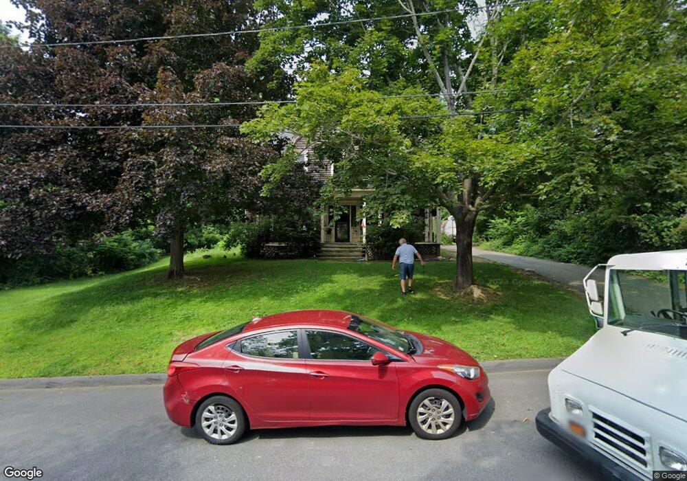
9 Woods Ave Worcester, MA 01606
Indian Hill NeighborhoodEstimated Value: $436,994 - $573,000
3
Beds
2
Baths
2,045
Sq Ft
$248/Sq Ft
Est. Value
About This Home
This home is located at 9 Woods Ave, Worcester, MA 01606 and is currently estimated at $506,249, approximately $247 per square foot. 9 Woods Ave is a home located in Worcester County with nearby schools including Nelson Place Elementary School, Chandler Magnet, and Jacob Hiatt Magnet School.
Ownership History
Date
Name
Owned For
Owner Type
Purchase Details
Closed on
Jul 29, 2005
Sold by
Powers Mary Ann A and Powers Patrick J
Bought by
Kruse Erin M and Kruse Joseph P
Current Estimated Value
Home Financials for this Owner
Home Financials are based on the most recent Mortgage that was taken out on this home.
Original Mortgage
$265,400
Outstanding Balance
$139,508
Interest Rate
5.67%
Mortgage Type
Purchase Money Mortgage
Estimated Equity
$366,741
Create a Home Valuation Report for This Property
The Home Valuation Report is an in-depth analysis detailing your home's value as well as a comparison with similar homes in the area
Home Values in the Area
Average Home Value in this Area
Purchase History
| Date | Buyer | Sale Price | Title Company |
|---|---|---|---|
| Kruse Erin M | $294,900 | -- |
Source: Public Records
Mortgage History
| Date | Status | Borrower | Loan Amount |
|---|---|---|---|
| Open | Kruse Erin M | $265,400 |
Source: Public Records
Tax History
| Year | Tax Paid | Tax Assessment Tax Assessment Total Assessment is a certain percentage of the fair market value that is determined by local assessors to be the total taxable value of land and additions on the property. | Land | Improvement |
|---|---|---|---|---|
| 2025 | $4,672 | $354,200 | $121,200 | $233,000 |
| 2024 | $4,505 | $327,600 | $121,200 | $206,400 |
| 2023 | $4,318 | $301,100 | $105,600 | $195,500 |
| 2022 | $3,968 | $260,900 | $84,800 | $176,100 |
| 2021 | $3,888 | $238,800 | $68,200 | $170,600 |
| 2020 | $3,723 | $219,000 | $68,100 | $150,900 |
| 2019 | $3,712 | $206,200 | $61,800 | $144,400 |
| 2018 | $3,718 | $196,600 | $61,800 | $134,800 |
| 2017 | $3,573 | $185,900 | $61,800 | $124,100 |
| 2016 | $3,555 | $172,500 | $47,300 | $125,200 |
| 2015 | $3,462 | $172,500 | $47,300 | $125,200 |
| 2014 | $3,371 | $172,500 | $47,300 | $125,200 |
Source: Public Records
Map
Nearby Homes
- 7 Woods Ave
- Lot2 Dupuis
- LOT 62 Scenic Heights
- LOT 5 Mower St
- LOT23X Reardon St
- LOT 6 Sunrise Ave
- LOT A White Ave
- lot b Palm St
- LOT 24 Frongillo Farm Rd
- LOT 13 Bjorklund
- LotC Sandra Dr
- LOT 57 Flint Pond Village
- LOT 9 Vivian Ave
- LOT 6 Vivian Ave
- LOT B Anderson Ave
- LOT A Drexel St
- LOT 4 Gibbs St
- LOT 2 Gibbs St
- LOT C Jeremiah's Ln
- LT158A Sunderland Rd
Your Personal Tour Guide
Ask me questions while you tour the home.