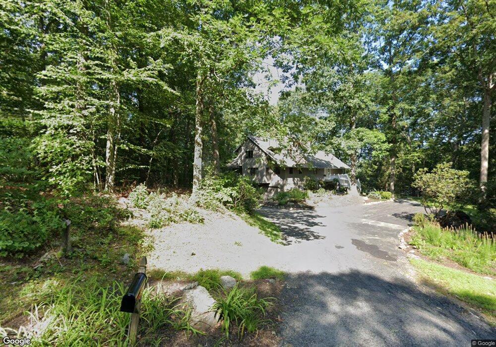
90 Birch Hill Rd Weston, CT 06883
Estimated Value: $1,234,000 - $1,409,000
6
Beds
4
Baths
3,038
Sq Ft
$437/Sq Ft
Est. Value
About This Home
This home is located at 90 Birch Hill Rd, Weston, CT 06883 and is currently estimated at $1,328,843, approximately $437 per square foot. 90 Birch Hill Rd is a home located in Fairfield County with nearby schools including Hurlbutt Elementary School, Weston Intermediate School, and Weston Middle School.
Ownership History
Date
Name
Owned For
Owner Type
Purchase Details
Closed on
Dec 8, 1995
Sold by
Woodward Peter and Woodward Helen
Bought by
Linver Mark and Linver Milosava
Current Estimated Value
Purchase Details
Closed on
Sep 15, 1993
Sold by
Bardos Andrew and Bardos Patricia
Bought by
Woodward Peter and Woodward Helen
Purchase Details
Closed on
Mar 21, 1990
Sold by
Lifka William
Bought by
Bardos Andrew
Create a Home Valuation Report for This Property
The Home Valuation Report is an in-depth analysis detailing your home's value as well as a comparison with similar homes in the area
Home Values in the Area
Average Home Value in this Area
Purchase History
| Date | Buyer | Sale Price | Title Company |
|---|---|---|---|
| Linver Mark | $412,000 | -- | |
| Woodward Peter | $425,000 | -- | |
| Bardos Andrew | $452,500 | -- |
Source: Public Records
Mortgage History
| Date | Status | Borrower | Loan Amount |
|---|---|---|---|
| Closed | Bardos Andrew | $40,000 | |
| Open | Bardos Andrew | $650,000 |
Source: Public Records
Tax History Compared to Growth
Tax History
| Year | Tax Paid | Tax Assessment Tax Assessment Total Assessment is a certain percentage of the fair market value that is determined by local assessors to be the total taxable value of land and additions on the property. | Land | Improvement |
|---|---|---|---|---|
| 2025 | $14,527 | $607,810 | $194,600 | $413,210 |
| 2024 | $14,265 | $607,810 | $194,600 | $413,210 |
| 2023 | $14,541 | $439,850 | $194,600 | $245,250 |
| 2022 | $14,502 | $439,850 | $194,600 | $245,250 |
| 2021 | $14,480 | $439,850 | $194,600 | $245,250 |
| 2020 | $14,238 | $439,850 | $194,600 | $245,250 |
| 2019 | $14,238 | $439,850 | $194,600 | $245,250 |
| 2018 | $13,549 | $461,000 | $215,600 | $245,400 |
| 2017 | $13,328 | $461,000 | $215,600 | $245,400 |
| 2016 | $13,166 | $461,000 | $215,600 | $245,400 |
| 2015 | $13,217 | $461,000 | $215,600 | $245,400 |
| 2014 | $13,019 | $461,000 | $215,600 | $245,400 |
Source: Public Records
Map
Nearby Homes
- 27 Rogues Ridge
- 28 Old Orchard Dr
- 76 Lords Hwy
- 193 Newtown Turnpike
- 15 Mountain View Dr
- 5 Walker Ln
- 326 Georgetown Rd
- 29 Salem Rd
- 335 Georgetown Rd
- 4 Trails End Rd
- 198 Steep Hill Rd
- 191 Steep Hill Rd
- 225 Good Hill Rd
- 4 Colony Rd
- 30 Black Alder Ln
- 214 Good Hill Rd
- 262 Lyons Plain Rd
- 260 Lyons Plain Rd
- 8 Hedgerow Common
- 30 Coley Rd
- 78 Birch Hill Rd
- 70 Birch Hill Rd
- 73 Birch Hill Rd
- 94 Birch Hill Rd
- 79 Birch Hill Rd
- 100 Birch Hill Rd
- 63 Birch Hill Rd
- 259A Newtown Turnpike
- 102 Birch Hill Rd
- 67 Birch Hill Rd
- 87 Birch Hill Rd
- 83 Birch Hill Rd
- 261 Newtown Turnpike
- 76 Birch Hill Rd
- 60 Birch Hill Rd
- 104 Birch Hill Rd
- 53 Birch Hill Rd
- 273 Newtown Turnpike
- 269 Newtown Turnpike
- 55 Birch Hill Rd