90 Brewster Rd Center Barnstead, NH 03225
Estimated Value: $700,000 - $822,000
3
Beds
1
Bath
1,610
Sq Ft
$480/Sq Ft
Est. Value
About This Home
This home is located at 90 Brewster Rd, Center Barnstead, NH 03225 and is currently estimated at $773,543, approximately $480 per square foot. 90 Brewster Rd is a home with nearby schools including Barnstead Elementary School and Prospect Mountain High School.
Ownership History
Date
Name
Owned For
Owner Type
Purchase Details
Closed on
Nov 22, 2024
Sold by
W J & Ruth L Morin Irt and Morin
Bought by
Poulin Michele A
Current Estimated Value
Purchase Details
Closed on
Oct 22, 2020
Sold by
Poulin Michele A
Bought by
Michele A Poulin Ret and Poulin
Purchase Details
Closed on
Oct 15, 2020
Sold by
Poulin Alfred P
Bought by
Poulin Michele A
Create a Home Valuation Report for This Property
The Home Valuation Report is an in-depth analysis detailing your home's value as well as a comparison with similar homes in the area
Home Values in the Area
Average Home Value in this Area
Purchase History
| Date | Buyer | Sale Price | Title Company |
|---|---|---|---|
| Poulin Michele A | -- | None Available | |
| Poulin Michele A | -- | None Available | |
| Michele A Poulin Ret | -- | None Available | |
| Michele A Poulin Ret | -- | None Available | |
| Poulin Michele A | -- | None Available | |
| Poulin Michele A | -- | None Available |
Source: Public Records
Tax History Compared to Growth
Tax History
| Year | Tax Paid | Tax Assessment Tax Assessment Total Assessment is a certain percentage of the fair market value that is determined by local assessors to be the total taxable value of land and additions on the property. | Land | Improvement |
|---|---|---|---|---|
| 2024 | $11,500 | $705,100 | $481,100 | $224,000 |
| 2023 | $10,491 | $731,100 | $507,100 | $224,000 |
| 2022 | $8,355 | $386,800 | $230,500 | $156,300 |
| 2021 | $8,494 | $386,800 | $230,500 | $156,300 |
| 2020 | $8,935 | $386,800 | $230,500 | $156,300 |
| 2019 | $8,831 | $386,800 | $230,500 | $156,300 |
| 2018 | $8,606 | $386,800 | $230,500 | $156,300 |
| 2017 | $8,618 | $298,200 | $187,000 | $111,200 |
| 2016 | $8,126 | $298,200 | $187,000 | $111,200 |
| 2015 | $8,096 | $298,200 | $187,000 | $111,200 |
| 2014 | $7,212 | $301,000 | $187,000 | $114,000 |
| 2013 | $7,074 | $301,000 | $187,000 | $114,000 |
Source: Public Records
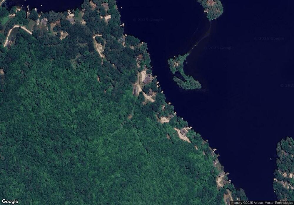
Map
Nearby Homes
- 16 Ridge Rd
- Lot 33 Ridge Rd
- M10 L26-3 Valley Dam Rd
- 418 Narrows Rd
- 93 E Huntress Pond Rd
- 0 Andover Dr Unit 106 5059711
- 41 Pinepark Dr
- 22-54 Red Oak Rd
- 96 Damsite Rd
- 24 Danbury Rd
- 277 Shackford Corner Rd
- 0 Corner North Shore Dr Unit 446 5054482
- 109 Shackford Corner Rd
- O N Shore Dr
- 25 Vail Rd
- 376 White Oak Rd
- 0 Crescent Dr Unit 5026960
- 248 Varney Rd
- 7 Brenton Ln
- 77 Vail Rd