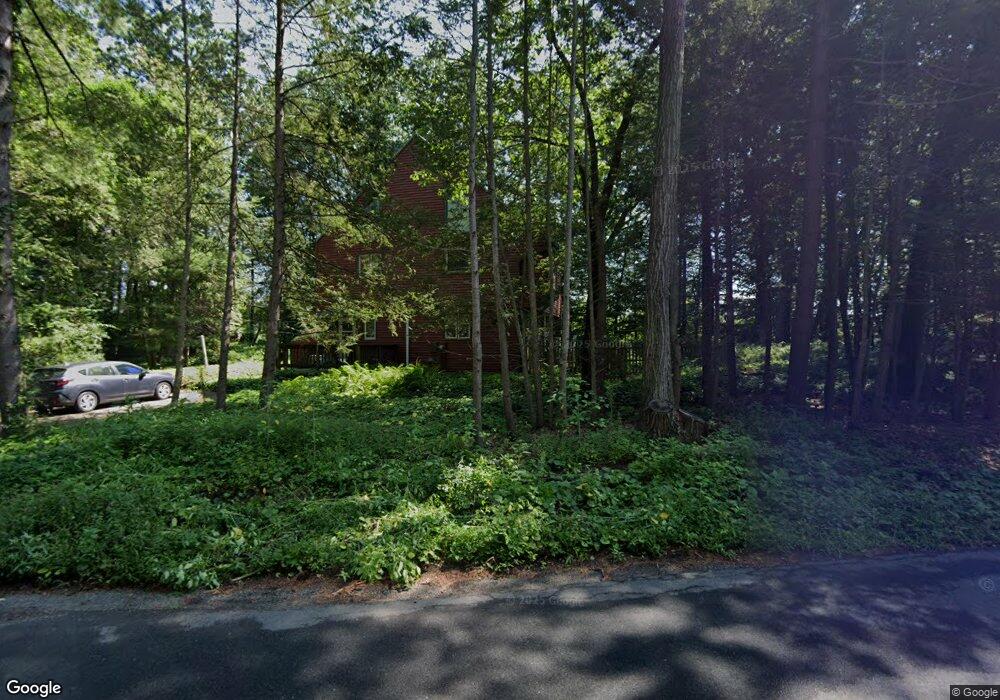
90 N Plain Rd Sunderland, MA 01375
Estimated Value: $468,693 - $545,000
4
Beds
2
Baths
2,508
Sq Ft
$208/Sq Ft
Est. Value
About This Home
This home is located at 90 N Plain Rd, Sunderland, MA 01375 and is currently estimated at $520,673, approximately $207 per square foot. 90 N Plain Rd is a home located in Franklin County with nearby schools including Sunderland Elementary School and Frontier Regional School.
Ownership History
Date
Name
Owned For
Owner Type
Purchase Details
Closed on
Jul 29, 2003
Sold by
Barry Craig W
Bought by
Delphin Ellis S and Delphin Helaine W
Current Estimated Value
Home Financials for this Owner
Home Financials are based on the most recent Mortgage that was taken out on this home.
Original Mortgage
$165,500
Interest Rate
5.27%
Mortgage Type
Purchase Money Mortgage
Purchase Details
Closed on
Aug 15, 2001
Sold by
Logan Joames F and Logan Karen A
Bought by
Delphin Ellis S and Pryor Helaine W
Home Financials for this Owner
Home Financials are based on the most recent Mortgage that was taken out on this home.
Original Mortgage
$168,690
Interest Rate
7.16%
Mortgage Type
Purchase Money Mortgage
Create a Home Valuation Report for This Property
The Home Valuation Report is an in-depth analysis detailing your home's value as well as a comparison with similar homes in the area
Home Values in the Area
Average Home Value in this Area
Purchase History
| Date | Buyer | Sale Price | Title Company |
|---|---|---|---|
| Delphin Ellis S | -- | -- | |
| Barry Craig W | -- | -- | |
| Delphin Ellis S | $194,900 | -- |
Source: Public Records
Mortgage History
| Date | Status | Borrower | Loan Amount |
|---|---|---|---|
| Open | Delphin Ellis S | $136,000 | |
| Closed | Delphin Ellis S | $165,500 | |
| Previous Owner | Delphin Ellis S | $168,690 |
Source: Public Records
Tax History
| Year | Tax Paid | Tax Assessment Tax Assessment Total Assessment is a certain percentage of the fair market value that is determined by local assessors to be the total taxable value of land and additions on the property. | Land | Improvement |
|---|---|---|---|---|
| 2025 | $5,160 | $396,300 | $123,800 | $272,500 |
| 2024 | $5,207 | $396,300 | $123,800 | $272,500 |
| 2023 | $4,637 | $362,300 | $103,000 | $259,300 |
| 2022 | $4,653 | $316,500 | $88,500 | $228,000 |
| 2021 | $4,013 | $255,600 | $83,000 | $172,600 |
| 2020 | $3,946 | $255,600 | $83,000 | $172,600 |
| 2019 | $4,046 | $248,500 | $80,400 | $168,100 |
| 2018 | $2,401 | $233,400 | $77,200 | $156,200 |
| 2017 | $2,312 | $237,200 | $79,400 | $157,800 |
| 2016 | $3,555 | $242,500 | $77,800 | $164,700 |
| 2015 | $3,470 | $242,500 | $77,800 | $164,700 |
| 2014 | $3,390 | $242,500 | $77,800 | $164,700 |
Source: Public Records
Map
Nearby Homes
- 358 S Silver Ln
- 13 Shattuck Rd
- 274 Sunderland Rd
- 34 Comins Rd
- 45 Comins Rd
- 10 Depot Rd
- 200 Long Plain Rd
- 180 Summer St
- 113 Juggler Meadow Rd
- 37 Harris St
- 281 Leverett Rd
- 208 Pine St Unit 53
- 43 Morgan Cir
- 33 Bridge St
- 185 Cherry Ln
- Lot A Kingman Rd
- 79 State Rd
- 471 Flat Hills Rd
- 277 River Dr
- 14 Sugarloaf St
Your Personal Tour Guide
Ask me questions while you tour the home.