90 Norton Farm Rd Vineyard Haven, MA 02568
West Tisbury NeighborhoodEstimated Value: $2,474,000 - $3,348,040
--
Bed
3
Baths
--
Sq Ft
2
Acres
About This Home
This home is located at 90 Norton Farm Rd, Vineyard Haven, MA 02568 and is currently estimated at $3,019,760. 90 Norton Farm Rd is a home located in Dukes County with nearby schools including Martha's Vineyard Regional High School and Martha's Vineyard Charter School.
Ownership History
Date
Name
Owned For
Owner Type
Purchase Details
Closed on
Dec 27, 2007
Sold by
Leaird John E and Leaird Kay Lane
Bought by
Residenc John E Leaird and Leaird John Edwin
Current Estimated Value
Purchase Details
Closed on
Apr 6, 2001
Sold by
Carles A Crumm Jr Tr and Crumm Anne T
Bought by
Leaird John E and Lane-Leaird Kay
Home Financials for this Owner
Home Financials are based on the most recent Mortgage that was taken out on this home.
Original Mortgage
$500,000
Interest Rate
7.05%
Mortgage Type
Purchase Money Mortgage
Create a Home Valuation Report for This Property
The Home Valuation Report is an in-depth analysis detailing your home's value as well as a comparison with similar homes in the area
Home Values in the Area
Average Home Value in this Area
Purchase History
| Date | Buyer | Sale Price | Title Company |
|---|---|---|---|
| Residenc John E Leaird | -- | -- | |
| Leaird John E | $1,275,000 | -- |
Source: Public Records
Mortgage History
| Date | Status | Borrower | Loan Amount |
|---|---|---|---|
| Previous Owner | Leaird John E | $500,000 | |
| Previous Owner | Leaird John E | $550,000 | |
| Closed | Leaird John E | $150,000 |
Source: Public Records
Tax History Compared to Growth
Tax History
| Year | Tax Paid | Tax Assessment Tax Assessment Total Assessment is a certain percentage of the fair market value that is determined by local assessors to be the total taxable value of land and additions on the property. | Land | Improvement |
|---|---|---|---|---|
| 2025 | $12,996 | $2,868,900 | $1,752,300 | $1,116,600 |
| 2024 | $11,806 | $2,745,500 | $1,701,500 | $1,044,000 |
| 2023 | $11,756 | $2,696,300 | $1,712,300 | $984,000 |
| 2022 | $11,143 | $1,914,600 | $1,080,700 | $833,900 |
| 2021 | $8,138 | $1,725,200 | $1,008,600 | $716,600 |
| 2020 | $7,577 | $1,714,000 | $993,700 | $720,300 |
| 2019 | $3,150 | $1,561,700 | $902,400 | $659,300 |
| 2018 | $9,238 | $1,524,500 | $861,900 | $662,600 |
| 2017 | $3,402 | $1,475,000 | $861,900 | $613,100 |
| 2016 | $8,372 | $1,381,500 | $814,100 | $567,400 |
| 2015 | $7,989 | $1,399,100 | $814,100 | $585,000 |
| 2014 | $8,298 | $1,533,800 | $995,600 | $538,200 |
Source: Public Records
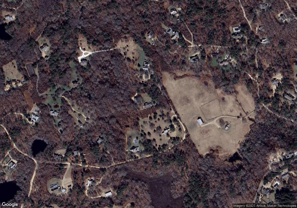
Map
Nearby Homes
- 11 Beach Pebble Rd Unit 48.3
- 11 Beach Pebble Rd
- 9 Beach Pebble Rd
- 180 Pilot Hill Farm Rd
- 60 Bartimus Luce Rd
- 20 Brook Hollow Rd
- 97 Longview Rd
- 157 Ben Chase Rd
- 55 Old House Way
- 16 Red Coat Hill Rd
- 104 & 111 Old Herring Creek Rd
- 31 Lamberts Cove Rd
- 53 Stoney Hill Rd
- 50 Lantern Ln
- 208 Irenes Way
- 51 Lantern Ln
- 344 Greenwood Ave
- 33 Alyssa Ln
- 136 W Spring St
- 128 W Spring St
- 68 Norton Farm Rd
- 83 Norton Farm Rd
- 40 Norton Farm Rd
- 30 Gay Head Ave
- 32 Norton Farm Rd
- 32 Winnecoette Ave
- 33 Winnecoette Ave
- 0 Norton Farm Rd
- 77 & 79 Norton Farm Rd
- 77 Norton Farm Rd
- 79 Norton Farm Rd
- 84 Brickworks Rd
- 31 Winnecoette Ave
- 94 Norton Farm Rd
- 82 Brickworks Rd
- 18 Norton Farm Rd
- 20 Winnecoette Ave
- 25 Winnecoette Ave
- 21 Norton Farm Rd
- 83 Brickworks Rd