90 Watson Shore Rd Moultonborough, NH 03254
Estimated Value: $1,653,000 - $2,884,000
3
Beds
3
Baths
2,876
Sq Ft
$794/Sq Ft
Est. Value
About This Home
This home is located at 90 Watson Shore Rd, Moultonborough, NH 03254 and is currently estimated at $2,284,035, approximately $794 per square foot. 90 Watson Shore Rd is a home with nearby schools including Moultonborough Central School and Moultonborough Academy High School.
Ownership History
Date
Name
Owned For
Owner Type
Purchase Details
Closed on
Mar 16, 2007
Sold by
Lachance Donald J and Lachance Lucie G
Bought by
90 Watson Shore Road L
Current Estimated Value
Home Financials for this Owner
Home Financials are based on the most recent Mortgage that was taken out on this home.
Original Mortgage
$450,000
Outstanding Balance
$274,460
Interest Rate
6.4%
Mortgage Type
Purchase Money Mortgage
Estimated Equity
$2,009,575
Create a Home Valuation Report for This Property
The Home Valuation Report is an in-depth analysis detailing your home's value as well as a comparison with similar homes in the area
Home Values in the Area
Average Home Value in this Area
Purchase History
| Date | Buyer | Sale Price | Title Company |
|---|---|---|---|
| 90 Watson Shore Road L | $767,500 | -- |
Source: Public Records
Mortgage History
| Date | Status | Borrower | Loan Amount |
|---|---|---|---|
| Open | 90 Watson Shore Road L | $450,000 |
Source: Public Records
Tax History Compared to Growth
Tax History
| Year | Tax Paid | Tax Assessment Tax Assessment Total Assessment is a certain percentage of the fair market value that is determined by local assessors to be the total taxable value of land and additions on the property. | Land | Improvement |
|---|---|---|---|---|
| 2024 | $9,480 | $1,677,900 | $1,197,100 | $480,800 |
| 2023 | $8,555 | $1,500,800 | $1,068,900 | $431,900 |
| 2022 | $6,325 | $1,323,300 | $932,000 | $391,300 |
| 2021 | $7,328 | $1,049,900 | $712,800 | $337,100 |
| 2020 | $6,834 | $958,500 | $641,500 | $317,000 |
| 2019 | $6,502 | $909,400 | $623,400 | $286,000 |
| 2018 | $3,216 | $814,500 | $534,300 | $280,200 |
| 2017 | $6,487 | $789,200 | $534,300 | $254,900 |
| 2016 | $6,690 | $765,400 | $516,500 | $248,900 |
| 2015 | $6,683 | $741,700 | $516,500 | $225,200 |
| 2014 | $6,620 | $747,200 | $538,000 | $209,200 |
| 2013 | $6,493 | $747,200 | $538,000 | $209,200 |
Source: Public Records
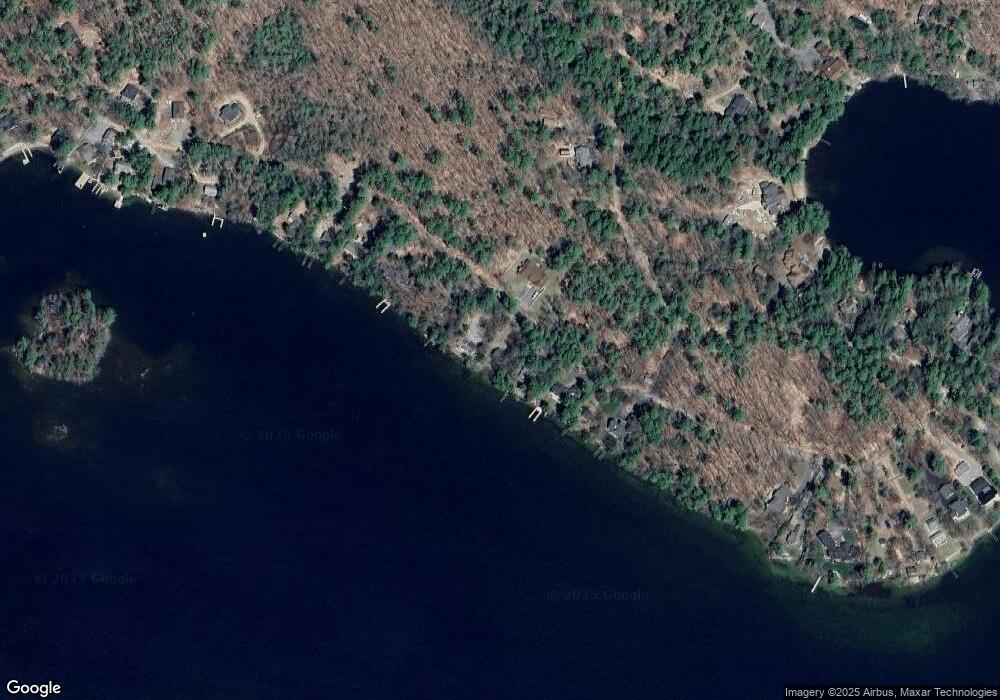
Map
Nearby Homes
- 00 Beede Rd
- 65 Beede Rd
- 00 Moultonboro Neck Rd Unit 2
- 00 Moultonboro Neck Rd
- 109 Leaward Shores Rd
- 10 Woodridge Rd
- 16 Long Island Rd
- 167 Long Island Rd
- 42 High Ridge Rd
- 152 Wildwood Dr
- 130 W Point Rd
- 19 Alderberry Ln
- 14 Island View Dr
- 00 Rivers Rd
- 9 Starboard Ln Unit 1
- 47 Pot O Beans Rd
- 31 Rays Way
- 7 Flint Dr
- 19 Wawbeek Rd Unit one
- 3 Brewster Rd
- 98 Watson Shore Rd
- 86 Watson Shore Rd
- 100 Watson Shore Rd
- 82 Watson Shore Rd
- 95 Watson Shore Rd
- 74 Watson Shore Rd
- 80 Beede Rd
- 78 Beede Rd
- 64 Beach Rd
- 72 Watson Shore Rd
- 82 Beede Rd
- 70 Watson Shore Rd
- 38 Beede Rd
- 00 Beede Rd Unit 22-903
- 00 Beede Rd Unit 22-901
- 00 Beede Rd Unit 22
- 34 Beede Rd
- 64 Watson Shore Rd
- 86 Beede Rd
- 65 Beede Rd Unit Lots 4, 19, 22