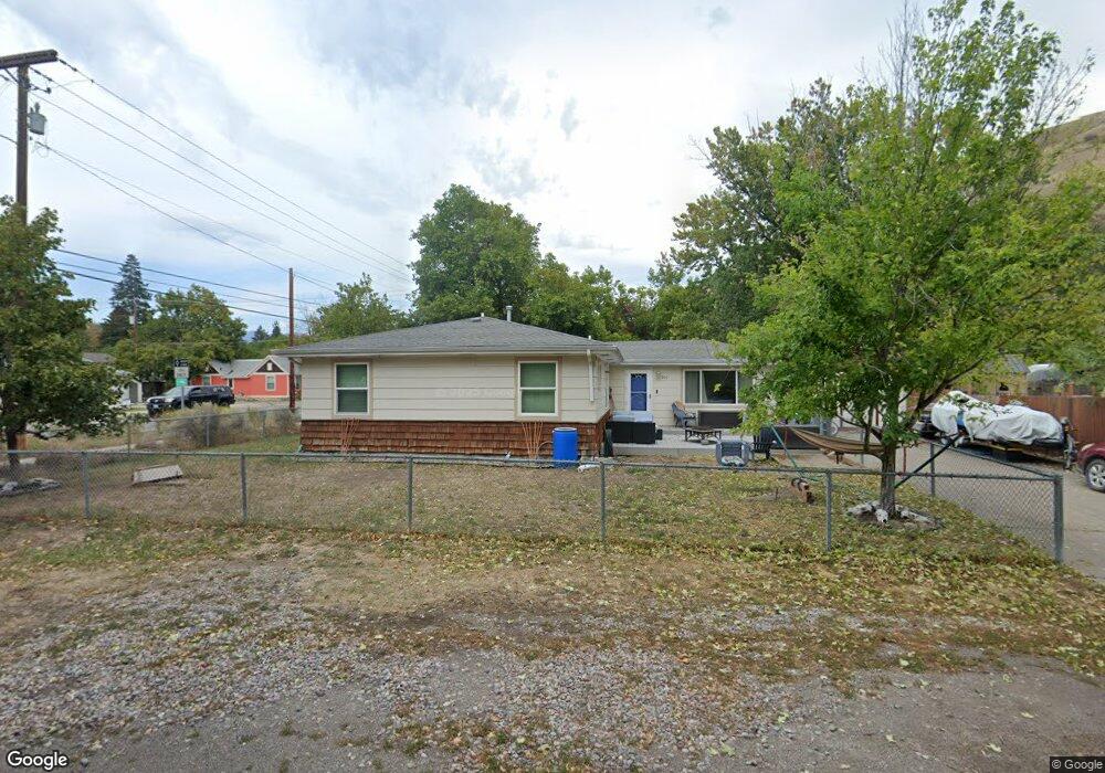
900 Locust St Missoula, MT 59802
Lower Rattlesnake NeighborhoodEstimated Value: $319,000 - $429,000
2
Beds
1
Bath
608
Sq Ft
$615/Sq Ft
Est. Value
About This Home
This home is located at 900 Locust St, Missoula, MT 59802 and is currently estimated at $374,134, approximately $615 per square foot. 900 Locust St is a home located in Missoula County with nearby schools including Rattlesnake Elementary School, Washington Middle School, and Hellgate High School.
Ownership History
Date
Name
Owned For
Owner Type
Purchase Details
Closed on
Dec 20, 2022
Sold by
Brownell John
Bought by
Pace Tanner
Current Estimated Value
Purchase Details
Closed on
Aug 17, 2020
Sold by
Baack Matthew A and Baack Margaret A
Bought by
Club 406 Llc
Purchase Details
Closed on
Nov 10, 2016
Sold by
Schweizer Michael
Bought by
Baack Matthew A and Baack Margaret A
Home Financials for this Owner
Home Financials are based on the most recent Mortgage that was taken out on this home.
Original Mortgage
$111,375
Interest Rate
3.42%
Mortgage Type
New Conventional
Purchase Details
Closed on
Jan 30, 2007
Sold by
Waddell James C
Bought by
Schweizer Michael R
Home Financials for this Owner
Home Financials are based on the most recent Mortgage that was taken out on this home.
Original Mortgage
$104,000
Interest Rate
6.19%
Mortgage Type
Purchase Money Mortgage
Create a Home Valuation Report for This Property
The Home Valuation Report is an in-depth analysis detailing your home's value as well as a comparison with similar homes in the area
Home Values in the Area
Average Home Value in this Area
Purchase History
| Date | Buyer | Sale Price | Title Company |
|---|---|---|---|
| Pace Tanner | -- | -- | |
| Brownell John | -- | -- | |
| Club 406 Llc | -- | Stewart Title | |
| Baack Matthew A | -- | Insured Titles Llc | |
| Schweizer Michael R | -- | Stm |
Source: Public Records
Mortgage History
| Date | Status | Borrower | Loan Amount |
|---|---|---|---|
| Previous Owner | Baack Matthew A | $111,375 | |
| Previous Owner | Schweizer Michael R | $104,000 |
Source: Public Records
Tax History Compared to Growth
Tax History
| Year | Tax Paid | Tax Assessment Tax Assessment Total Assessment is a certain percentage of the fair market value that is determined by local assessors to be the total taxable value of land and additions on the property. | Land | Improvement |
|---|---|---|---|---|
| 2025 | $3,401 | $320,020 | $182,910 | $137,110 |
| 2024 | $3,259 | $267,900 | $158,460 | $109,440 |
| 2023 | $3,144 | $267,900 | $158,460 | $109,440 |
| 2022 | $3,024 | $223,600 | $0 | $0 |
| 2021 | $2,717 | $223,600 | $0 | $0 |
| 2020 | $1,971 | $150,200 | $0 | $0 |
| 2019 | $1,964 | $150,200 | $0 | $0 |
| 2018 | $2,343 | $174,600 | $0 | $0 |
| 2017 | $2,092 | $174,600 | $0 | $0 |
| 2016 | $2,200 | $174,200 | $0 | $0 |
| 2015 | $2,035 | $174,200 | $0 | $0 |
| 2014 | $1,678 | $80,845 | $0 | $0 |
Source: Public Records
Map
Nearby Homes
- 838 Locust St
- 1132 Jackson St
- 1116 Vine St
- 1110 Vine St
- 1811 Elison Ln
- 416 E Pine St
- 2201 Greenough Ct W
- 111 N 2nd St W
- 8862 Santa Anita Rd
- 8876 Santa Anita Rd
- 516 S 5th St E
- 2215 Raymond Ave
- 1227 Basecamp Dr Unit A
- 1250 Basecamp Dr Unit F
- 1250 Basecamp Dr Unit C
- 542 Eddy Ave
- 322 W Alder St
- 5237 Ginger Quill Rd Unit B
- 5237 Ginger Quill Rd Unit A
- 1025 Grand Ave Unit 4