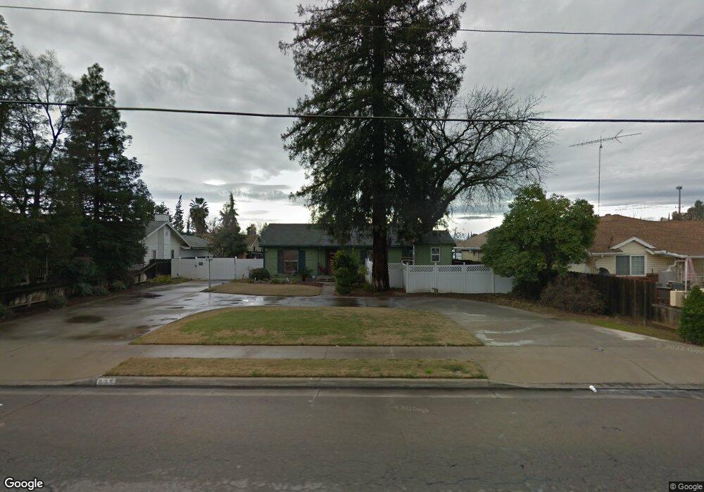
900 Sunnyside Ave Clovis, CA 93611
Clovis AreaEstimated Value: $406,000 - $467,000
About This Home
This home is located at 900 Sunnyside Ave, Clovis, CA 93611 and is currently estimated at $450,424, approximately $217 per square foot. 900 Sunnyside Ave is a home located in Fresno County with nearby schools including Clovis Elementary School, Clark Intermediate School, and Clovis High School.
Ownership History
We collect this data history from publicly available records. To have your information removed, we recommend requesting removal directly through your county’s website.
Purchase Details
Purchase Details
Home Financials for this Owner
Home Financials are based on the most recent Mortgage that was taken out on this home.Home Values in the Area
Average Home Value in this Area
Purchase History
We collect this data history from publicly available records. To have your information removed, we recommend requesting removal directly through your county’s website.
| Date | Buyer | Sale Price | Title Company |
|---|---|---|---|
| -- | Chicago Title Co | ||
| $70,000 | First American Title Co |
Mortgage History
We collect this data history from publicly available records. To have your information removed, we recommend requesting removal directly through your county’s website.
| Date | Status | Borrower | Loan Amount |
|---|---|---|---|
| Open | $20,000 | ||
| Open | $80,000 | ||
| Closed | $10,000 | ||
| Open | $232,000 | ||
| Closed | $166,000 | ||
| Closed | $109,000 | ||
| Closed | $17,000 | ||
| Closed | $104,000 | ||
| Closed | $21,000 | ||
| Previous Owner | $61,600 |
Tax History
We collect this data history from publicly available records. To have your information removed, we recommend requesting removal directly through your county’s website.
| Year | Tax Paid | Tax Assessment Tax Assessment Total Assessment is a certain percentage of the fair market value that is determined by local assessors to be the total taxable value of land and additions on the property. | Land | Improvement |
|---|---|---|---|---|
| 2025 | $1,986 | $165,500 | $38,413 | $127,087 |
| 2023 | $1,911 | $159,075 | $36,922 | $122,153 |
| 2022 | $1,887 | $155,957 | $36,199 | $119,758 |
| 2021 | $1,835 | $152,900 | $35,490 | $117,410 |
| 2020 | $1,828 | $151,334 | $35,127 | $116,207 |
| 2019 | $1,793 | $148,368 | $34,439 | $113,929 |
| 2018 | $1,754 | $145,460 | $33,764 | $111,696 |
| 2017 | $1,725 | $142,608 | $33,102 | $109,506 |
| 2016 | $1,668 | $139,812 | $32,453 | $107,359 |
| 2015 | $1,643 | $137,713 | $31,966 | $105,747 |
| 2014 | $1,613 | $135,016 | $31,340 | $103,676 |
Map
- 760 Sunnyside Ave
- 1228 Jefferson Ave
- 1064 Carey Ave
- 1517 Lincoln Ave
- 1407 Purvis Ave
- 1581 Barstow Ave
- 1445 Fordham Ave
- 323 Elm Ave
- 1644 Scott Ct
- 1764 Purvis Ave
- 1645 Renn Ave
- 1164 Dewitt Ave
- 519 San Jose Ave
- 432 4th St
- 2214 Fordham Ave
- 3497 Shaw Ave
- 2306 Stanford Ave
- 1725 Fairmont Ave
- 2154 Wrenwood Ave
- 857 Los Altos Ave
- 914 Sunnyside Ave
- 814 Sunnyside Ave
- 905 Acacia Ave
- 924 Sunnyside Ave
- 915 Acacia Ave
- 1366 Browning Ave
- 1396 Browning Ave
- 935 Acacia Ave
- 1346 Browning Ave
- 1410 Wrenwood Ave
- 930 Sunnyside Ave
- 1415 Wrenwood Ave
- 1326 Browning Ave
- 940 Sunnyside Ave
- 1424 Wrenwood Ave
- 1294 Estabrook Ave
- 1416 Browning Ave
- 1425 Wrenwood Ave
- 925 Sunnyside Ave
- 912 Acacia Ave
Ask me questions while you tour the home.