9001 County Road 6470 West Plains, MO 65775
Estimated Value: $331,000 - $700,000
--
Bed
--
Bath
--
Sq Ft
25.34
Acres
About This Home
This home is located at 9001 County Road 6470, West Plains, MO 65775 and is currently estimated at $429,337. 9001 County Road 6470 is a home.
Ownership History
Date
Name
Owned For
Owner Type
Purchase Details
Closed on
Oct 28, 2005
Sold by
Campo Leonard P and Campo Fredia S
Bought by
Janocko Matthew G and Janocko Regina E
Current Estimated Value
Home Financials for this Owner
Home Financials are based on the most recent Mortgage that was taken out on this home.
Original Mortgage
$177,650
Outstanding Balance
$95,605
Interest Rate
5.75%
Mortgage Type
New Conventional
Estimated Equity
$333,732
Purchase Details
Closed on
Apr 20, 2005
Sold by
Morrison Stanton R and Morrison Donnis J
Bought by
Campo Leonard P and Campo Fredia S
Home Financials for this Owner
Home Financials are based on the most recent Mortgage that was taken out on this home.
Original Mortgage
$182,612
Interest Rate
5.92%
Mortgage Type
Purchase Money Mortgage
Create a Home Valuation Report for This Property
The Home Valuation Report is an in-depth analysis detailing your home's value as well as a comparison with similar homes in the area
Home Values in the Area
Average Home Value in this Area
Purchase History
| Date | Buyer | Sale Price | Title Company |
|---|---|---|---|
| Janocko Matthew G | -- | None Available | |
| Campo Leonard P | -- | None Available |
Source: Public Records
Mortgage History
| Date | Status | Borrower | Loan Amount |
|---|---|---|---|
| Open | Janocko Matthew G | $177,650 | |
| Previous Owner | Campo Leonard P | $182,612 |
Source: Public Records
Tax History Compared to Growth
Tax History
| Year | Tax Paid | Tax Assessment Tax Assessment Total Assessment is a certain percentage of the fair market value that is determined by local assessors to be the total taxable value of land and additions on the property. | Land | Improvement |
|---|---|---|---|---|
| 2025 | $1,832 | $47,170 | $3,050 | $44,120 |
| 2024 | $1,811 | $42,150 | -- | -- |
| 2023 | $1,811 | $42,150 | $0 | $0 |
| 2022 | $1,710 | $39,780 | $0 | $0 |
| 2021 | $1,562 | $39,780 | $0 | $0 |
| 2020 | $1,562 | $36,340 | $0 | $0 |
| 2019 | $1,630 | $36,340 | $0 | $0 |
| 2018 | $1,606 | $35,780 | $0 | $0 |
| 2017 | $1,603 | $35,780 | $0 | $0 |
| 2015 | -- | $35,780 | $0 | $0 |
| 2014 | -- | $35,760 | $0 | $0 |
| 2013 | -- | $35,760 | $0 | $0 |
Source: Public Records
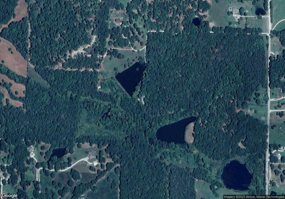
Map
Nearby Homes
- 1452 County Road 6310
- 3607 Quail Run Rd
- 406 Bob White Ln
- 3406 Bob White Ln
- 000 Quail Run Estates
- 4427 County Road 6620
- 3605 County Road 6760
- 000 Sienna
- 8494 Private Road 6857
- 2234 E State Route K
- 107 Cobblestone Dr
- 8456 Private Road 6853
- 000 E State Route K
- Tbd Dogwood Cir
- 1219 County Road 6170
- 2006 Big Deer
- Tbd
- Tbd Big Deer Run (Lot 20)
- 2032 Wild Turkey Trail
- 4811 State Route Cc
- 3861 County Road 6340
- 3833 County Road 6340
- 3833 County Road 6340
- 3823 County Road 6340
- 3887 State Route K
- 3865 County Road 6340
- 3865 County Road 6340
- 3821 County Road 6340
- 9003 County Road 6470
- 9073 County Road 6470
- 3869 County Road 6340
- 3785 County Road 6340
- 3881 State Route K
- 3832 County Road 6340
- 3947 State Route K
- 3755 County Road 6340
- 3790 County Road 6340
- 8953 County Road 6470
- 9046 County Road 6470
- 8989 County Road 6470