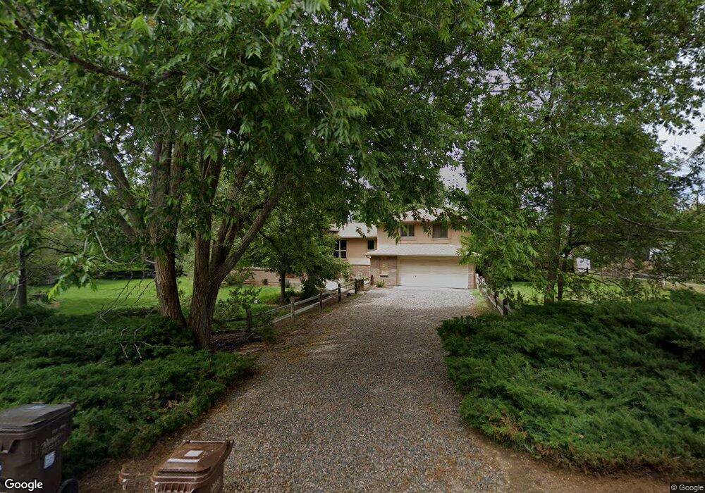
9007 Tahoe Ln Boulder, CO 80301
Estimated Value: $1,287,609 - $1,497,000
2
Beds
2
Baths
2,817
Sq Ft
$491/Sq Ft
Est. Value
About This Home
This home is located at 9007 Tahoe Ln, Boulder, CO 80301 and is currently estimated at $1,382,902, approximately $490 per square foot. 9007 Tahoe Ln is a home located in Boulder County with nearby schools including Douglass Elementary School, Nevin Platt Middle School, and Centaurus High School.
Ownership History
Date
Name
Owned For
Owner Type
Purchase Details
Closed on
Apr 21, 2006
Sold by
Makowski Carol A and Estate Of Thaddeus Makowski
Bought by
Makowski Carol A
Current Estimated Value
Home Financials for this Owner
Home Financials are based on the most recent Mortgage that was taken out on this home.
Original Mortgage
$250,000
Outstanding Balance
$143,334
Interest Rate
6.32%
Mortgage Type
Fannie Mae Freddie Mac
Estimated Equity
$1,239,568
Purchase Details
Closed on
Apr 21, 2000
Sold by
Makowski Thaddeus and Makowski Carol A
Bought by
Makowski Thaddeus and Makowski Carol A
Home Financials for this Owner
Home Financials are based on the most recent Mortgage that was taken out on this home.
Original Mortgage
$165,000
Interest Rate
8.19%
Mortgage Type
Stand Alone Second
Purchase Details
Closed on
May 2, 1971
Bought by
Makowski Carol A
Create a Home Valuation Report for This Property
The Home Valuation Report is an in-depth analysis detailing your home's value as well as a comparison with similar homes in the area
Home Values in the Area
Average Home Value in this Area
Purchase History
| Date | Buyer | Sale Price | Title Company |
|---|---|---|---|
| Makowski Carol A | -- | Chicago Title Co | |
| Makowski Thaddeus | -- | First American Heritage Titl | |
| Makowski Carol A | $4,200 | -- |
Source: Public Records
Mortgage History
| Date | Status | Borrower | Loan Amount |
|---|---|---|---|
| Open | Makowski Carol A | $250,000 | |
| Closed | Makowski Thaddeus | $165,000 |
Source: Public Records
Tax History Compared to Growth
Tax History
| Year | Tax Paid | Tax Assessment Tax Assessment Total Assessment is a certain percentage of the fair market value that is determined by local assessors to be the total taxable value of land and additions on the property. | Land | Improvement |
|---|---|---|---|---|
| 2025 | $7,461 | $84,206 | $39,025 | $45,181 |
| 2024 | $7,461 | $84,206 | $39,025 | $45,181 |
| 2023 | $7,348 | $86,155 | $30,659 | $59,181 |
| 2022 | $6,308 | $70,543 | $25,507 | $45,036 |
| 2021 | $6,677 | $72,573 | $26,241 | $46,332 |
| 2020 | $6,528 | $67,911 | $26,455 | $41,456 |
| 2019 | $6,426 | $67,911 | $26,455 | $41,456 |
| 2018 | $5,588 | $58,406 | $22,104 | $36,302 |
| 2017 | $5,430 | $64,571 | $24,437 | $40,134 |
| 2016 | $5,375 | $55,649 | $25,313 | $30,336 |
| 2015 | $5,064 | $45,403 | $21,412 | $23,991 |
| 2014 | $4,665 | $45,403 | $21,412 | $23,991 |
Source: Public Records
Map
Nearby Homes
- 9032 Tahoe Ln
- 2260 Placid Dr
- 2208 Champlain Dr
- 1484 Wicklow St
- 8778 Arapahoe Rd
- 1542 Kilkenny St
- 9022 Jason Ct
- 2590 Blue Heron Cir W
- 2554 Dutch Ct
- 2520 Columbine Cir
- 2577 Lake Meadow Dr
- 2698 Trailridge Dr W
- 1341 N 95th St
- 578 Indian Peaks Trail W Unit W
- 3044 Red Deer Trail
- 3031 Thunder Lake Cir
- 2408 Concord Cir
- 9776 Arapahoe Rd
- 2547 Concord Cir
- 9850 Arapahoe Rd