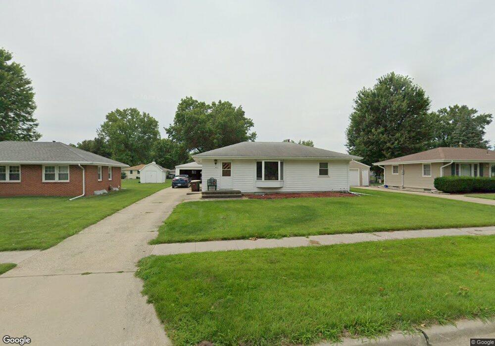
901 E Franklin Ave Indianola, IA 50125
Estimated Value: $212,000 - $263,000
2
Beds
2
Baths
923
Sq Ft
$257/Sq Ft
Est. Value
About This Home
This home is located at 901 E Franklin Ave, Indianola, IA 50125 and is currently estimated at $237,346, approximately $257 per square foot. 901 E Franklin Ave is a home located in Warren County with nearby schools including Indianola High School.
Ownership History
Date
Name
Owned For
Owner Type
Purchase Details
Closed on
Mar 11, 2020
Sold by
Rodgers Richard C and Rodgers Charlotte M
Bought by
Rodgers Richard C and Richard Rodgers Revocable Trus
Current Estimated Value
Purchase Details
Closed on
Nov 29, 2018
Sold by
Rodgers Richard C and Rodgers Robert O
Bought by
Rodgers Robert O
Create a Home Valuation Report for This Property
The Home Valuation Report is an in-depth analysis detailing your home's value as well as a comparison with similar homes in the area
Home Values in the Area
Average Home Value in this Area
Purchase History
| Date | Buyer | Sale Price | Title Company |
|---|---|---|---|
| Rodgers Richard C | -- | None Available | |
| Rodges Charlotte M | -- | None Available | |
| Rodgers Robert O | -- | None Available | |
| Rodgers Robert O | -- | None Available | |
| Rodgers Richard C | -- | None Available | |
| Rodgers Richard C | -- | None Available |
Source: Public Records
Tax History Compared to Growth
Tax History
| Year | Tax Paid | Tax Assessment Tax Assessment Total Assessment is a certain percentage of the fair market value that is determined by local assessors to be the total taxable value of land and additions on the property. | Land | Improvement |
|---|---|---|---|---|
| 2025 | $3,148 | $202,200 | $42,100 | $160,100 |
| 2024 | $3,100 | $192,000 | $30,300 | $161,700 |
| 2023 | $2,800 | $192,000 | $30,300 | $161,700 |
| 2022 | $2,770 | $143,700 | $30,300 | $113,400 |
| 2021 | $2,796 | $143,700 | $30,300 | $113,400 |
| 2020 | $2,796 | $137,100 | $30,300 | $106,800 |
| 2019 | $2,490 | $128,600 | $30,300 | $98,300 |
| 2018 | $2,162 | $121,800 | $0 | $0 |
| 2017 | $2,162 | $111,900 | $0 | $0 |
| 2016 | $1,980 | $103,400 | $0 | $0 |
| 2015 | $1,980 | $103,400 | $0 | $0 |
| 2014 | $2,004 | $104,600 | $0 | $0 |
Source: Public Records
Map
Nearby Homes
- 800 E Detroit Ave
- 701 N 9th St
- 810 N 8th St
- 501 N 10th St
- 1105 E Henderson Place
- 1102 E Henderson Place
- 1001 N 9th St
- 1106 N 6th St Unit 33
- 0 U S 65
- 69 Highway 65
- 307 N 11th St
- 403 N 12th St
- 400 E Ashland Ave
- 410 N 1st St Unit 104
- 609 E Salem Ave
- 601 N 1st St
- 802 N 12th St
- 1306 E Girard Ave
- 1205 Lancaster Way
- 510 N Howard St
- 903 E Franklin Ave
- 817 E Franklin Ave
- 905 E Franklin Ave
- 815 E Franklin Ave
- 902 E Euclid Ave
- 900 E Euclid Ave
- 904 E Euclid Ave
- 814 E Euclid Ave
- 908 E Euclid Ave
- 702 N 7th St
- 816 E Franklin Ave
- 611 N 8th St
- 607 N 8th St
- 811 E Franklin Ave
- 604 N 6th Street Place
- 605 N 8th St
- 912 E Franklin Ave
- 810 E Euclid Ave
- 601 N 8th St
- 707 N 7th St