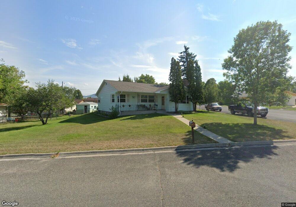
901 Maple St Helena, MT 59601
North Central NeighborhoodEstimated Value: $413,000 - $467,156
3
Beds
2
Baths
1,368
Sq Ft
$326/Sq Ft
Est. Value
About This Home
This home is located at 901 Maple St, Helena, MT 59601 and is currently estimated at $445,289, approximately $325 per square foot. 901 Maple St is a home located in Lewis and Clark County with nearby schools including Four Georgians Elementary School, Helena Middle School, and Calvary Christian School.
Ownership History
Date
Name
Owned For
Owner Type
Purchase Details
Closed on
Dec 11, 2024
Sold by
Simpson Teddy Lee and Simps Lois
Bought by
Simpson Bryan
Current Estimated Value
Home Financials for this Owner
Home Financials are based on the most recent Mortgage that was taken out on this home.
Original Mortgage
$172,000
Outstanding Balance
$163,866
Interest Rate
6.72%
Mortgage Type
New Conventional
Estimated Equity
$281,423
Purchase Details
Closed on
Mar 14, 2006
Sold by
Simpson Teddy Lee and Simpson Lois Birdena
Bought by
The Teddy Lee Simpson & Lois Birdena Sim
Create a Home Valuation Report for This Property
The Home Valuation Report is an in-depth analysis detailing your home's value as well as a comparison with similar homes in the area
Home Values in the Area
Average Home Value in this Area
Purchase History
| Date | Buyer | Sale Price | Title Company |
|---|---|---|---|
| Simpson Bryan | -- | Helena Abstract & Title | |
| Simpson Bryan | -- | Helena Abstract & Title | |
| The Teddy Lee Simpson & Lois Birdena Sim | -- | None Available |
Source: Public Records
Mortgage History
| Date | Status | Borrower | Loan Amount |
|---|---|---|---|
| Open | Simpson Bryan | $172,000 | |
| Closed | Simpson Bryan | $172,000 |
Source: Public Records
Tax History
| Year | Tax Paid | Tax Assessment Tax Assessment Total Assessment is a certain percentage of the fair market value that is determined by local assessors to be the total taxable value of land and additions on the property. | Land | Improvement |
|---|---|---|---|---|
| 2025 | $2,790 | $489,400 | $0 | $0 |
| 2024 | $3,593 | $375,300 | $0 | $0 |
| 2023 | $4,095 | $375,300 | $0 | $0 |
| 2022 | $3,495 | $268,400 | $0 | $0 |
| 2021 | $2,978 | $268,400 | $0 | $0 |
| 2020 | $3,425 | $259,100 | $0 | $0 |
| 2019 | $3,429 | $259,100 | $0 | $0 |
| 2018 | $3,069 | $231,900 | $0 | $0 |
| 2017 | $2,312 | $231,900 | $0 | $0 |
| 2016 | $2,648 | $220,700 | $0 | $0 |
| 2015 | $2,245 | $220,700 | $0 | $0 |
| 2014 | $2,268 | $123,437 | $0 | $0 |
Source: Public Records
Map
Nearby Homes
- 925 Hialeah Ct
- 906 Hialeah St
- 2553 Mchugh Ln
- 3000 Villard Ave Unit 127A
- 3000 Villard Ave Unit 43
- 2216 N Montana Ave
- 1414 Cherry Ave
- 2000 N Last Chance Gulch
- 1915 N Montana Ave
- TBD Poplar St
- 455 Russell Ln
- TBD Lot 7-8 Argyle St
- 855 Jade St
- 234, 240 E Lyndale Ave
- 1820 Chestnut St
- 360 Barney St Unit C
- 350 Barney St Unit A
- 340 Barney St Unit A
- 1051 N Warren St
- 1054 N Ewing St
Your Personal Tour Guide
Ask me questions while you tour the home.