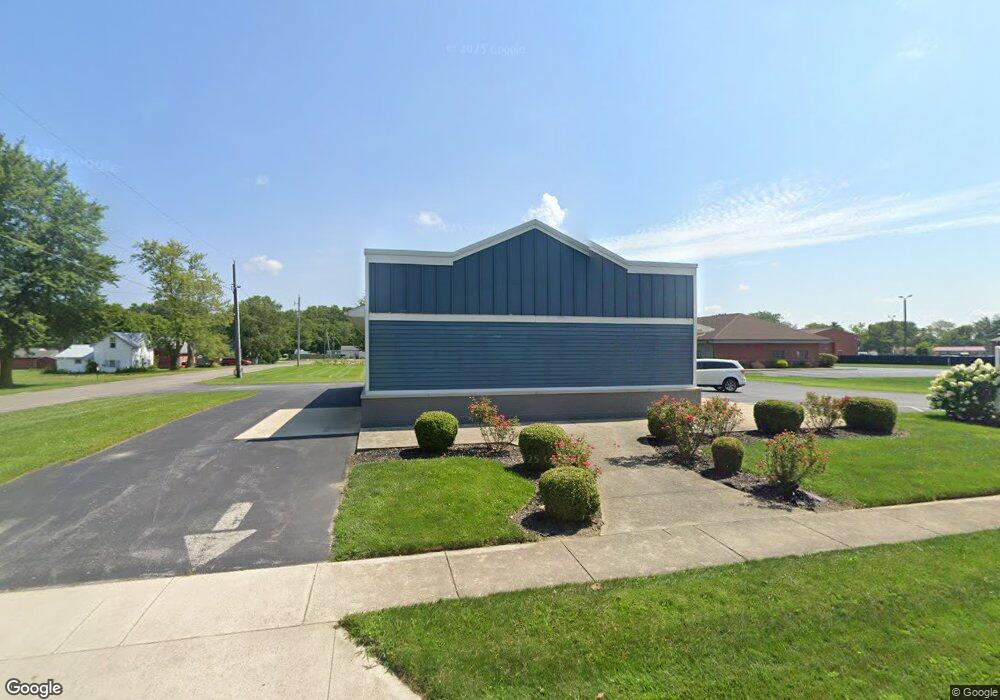
901 S Main St Kenton, OH 43326
--
Bed
2
Baths
1,620
Sq Ft
--
Built
About This Home
This home is located at 901 S Main St, Kenton, OH 43326. 901 S Main St is a home located in Hardin County with nearby schools including Kenton Elementary School, Kenton Middle School, and Kenton High School.
Ownership History
Date
Name
Owned For
Owner Type
Purchase Details
Closed on
Sep 22, 2023
Sold by
Midwest Enterprise Office Park Llc
Bought by
Circle R Properties Llc
Purchase Details
Closed on
Dec 4, 2017
Sold by
Oler Charles M
Bought by
Midwest Enterprise Office Park Llc
Home Financials for this Owner
Home Financials are based on the most recent Mortgage that was taken out on this home.
Original Mortgage
$300,000
Interest Rate
3.94%
Mortgage Type
Future Advance Clause Open End Mortgage
Purchase Details
Closed on
May 12, 2014
Sold by
Pahl Jane A
Bought by
Oler Charles M
Home Financials for this Owner
Home Financials are based on the most recent Mortgage that was taken out on this home.
Original Mortgage
$190,000
Interest Rate
4.34%
Mortgage Type
Future Advance Clause Open End Mortgage
Purchase Details
Closed on
Sep 9, 1992
Purchase Details
Closed on
May 20, 1992
Create a Home Valuation Report for This Property
The Home Valuation Report is an in-depth analysis detailing your home's value as well as a comparison with similar homes in the area
Home Values in the Area
Average Home Value in this Area
Purchase History
| Date | Buyer | Sale Price | Title Company |
|---|---|---|---|
| Circle R Properties Llc | $185,000 | None Listed On Document | |
| Midwest Enterprise Office Park Llc | $156,500 | None Available | |
| Oler Charles M | -- | Assured Title Agency Inc | |
| -- | -- | -- | |
| -- | -- | -- |
Source: Public Records
Mortgage History
| Date | Status | Borrower | Loan Amount |
|---|---|---|---|
| Previous Owner | Midwest Enterprise Office Park Llc | $300,000 | |
| Previous Owner | Oler Charles M | $190,000 |
Source: Public Records
Tax History Compared to Growth
Tax History
| Year | Tax Paid | Tax Assessment Tax Assessment Total Assessment is a certain percentage of the fair market value that is determined by local assessors to be the total taxable value of land and additions on the property. | Land | Improvement |
|---|---|---|---|---|
| 2024 | $3,545 | $57,760 | $6,170 | $51,590 |
| 2023 | $3,545 | $57,760 | $6,170 | $51,590 |
| 2022 | $3,374 | $54,050 | $6,480 | $47,570 |
| 2021 | $3,396 | $54,050 | $6,480 | $47,570 |
| 2020 | $3,065 | $54,050 | $6,480 | $47,570 |
| 2019 | $2,737 | $48,790 | $6,170 | $42,620 |
| 2018 | $2,742 | $48,790 | $6,170 | $42,620 |
| 2017 | $1,382 | $48,790 | $6,170 | $42,620 |
| 2016 | $2,753 | $51,900 | $6,170 | $45,730 |
| 2015 | $2,588 | $52,210 | $6,480 | $45,730 |
| 2014 | $2,735 | $52,210 | $6,480 | $45,730 |
| 2013 | $2,677 | $52,210 | $6,480 | $45,730 |
Source: Public Records
Map
Nearby Homes
- 727 S Detroit St
- 639 S Main St
- 320 Letson Ave
- 508 Decatur St
- 510 Decatur St
- 920 Cooper St
- 121 S High St
- 414 Robinson Ave
- 115 Scioto St
- 530 E Franklin St
- 513 E Franklin St
- 39 Grape St
- 79 Broadway St
- 509 E Carrol St
- 13450 State Route 292
- 219 W Carrol St
- 215 N Main St
- 233 N Main St
- 726 Tracy St
- 310 N Market St