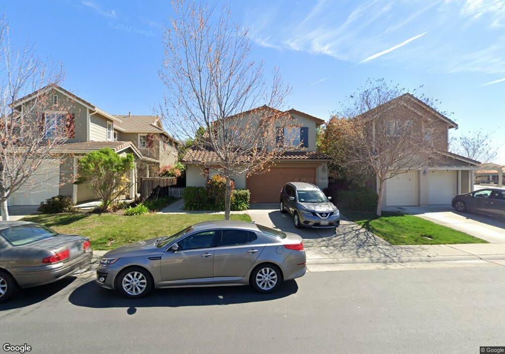
902 Campfire Cir Rocklin, CA 95765
Whitney Ranch NeighborhoodEstimated Value: $567,000 - $674,000
4
Beds
3
Baths
2,399
Sq Ft
$265/Sq Ft
Est. Value
About This Home
This home is located at 902 Campfire Cir, Rocklin, CA 95765 and is currently estimated at $636,842, approximately $265 per square foot. 902 Campfire Cir is a home located in Placer County with nearby schools including Sunset Ranch Elementary, Granite Oaks Middle, and Whitney High.
Ownership History
Date
Name
Owned For
Owner Type
Purchase Details
Closed on
Mar 25, 2009
Sold by
Whitney Ranch Village 5 Llc
Bought by
Borello Steven A and Borello Antoinette
Current Estimated Value
Home Financials for this Owner
Home Financials are based on the most recent Mortgage that was taken out on this home.
Original Mortgage
$175,001
Outstanding Balance
$111,395
Interest Rate
5.15%
Mortgage Type
Purchase Money Mortgage
Estimated Equity
$525,447
Create a Home Valuation Report for This Property
The Home Valuation Report is an in-depth analysis detailing your home's value as well as a comparison with similar homes in the area
Home Values in the Area
Average Home Value in this Area
Purchase History
| Date | Buyer | Sale Price | Title Company |
|---|---|---|---|
| Borello Steven A | $310,000 | Fidelity National Title Co |
Source: Public Records
Mortgage History
| Date | Status | Borrower | Loan Amount |
|---|---|---|---|
| Open | Borello Steven A | $175,001 |
Source: Public Records
Tax History
| Year | Tax Paid | Tax Assessment Tax Assessment Total Assessment is a certain percentage of the fair market value that is determined by local assessors to be the total taxable value of land and additions on the property. | Land | Improvement |
|---|---|---|---|---|
| 2025 | $7,328 | $399,190 | $90,135 | $309,055 |
| 2023 | $7,328 | $383,691 | $86,636 | $297,055 |
| 2022 | $7,056 | $376,169 | $84,938 | $291,231 |
| 2021 | $6,885 | $368,794 | $83,273 | $285,521 |
| 2020 | $6,820 | $365,014 | $82,420 | $282,594 |
| 2019 | $6,700 | $357,857 | $80,804 | $277,053 |
| 2018 | $6,527 | $350,841 | $79,220 | $271,621 |
| 2017 | $6,452 | $343,963 | $77,667 | $266,296 |
| 2016 | $6,517 | $337,220 | $76,145 | $261,075 |
| 2015 | $6,413 | $332,156 | $75,002 | $257,154 |
| 2014 | $6,285 | $325,650 | $73,533 | $252,117 |
Source: Public Records
Map
Nearby Homes
- 2501 Mossy Oak Ct
- 935 Campfire Cir
- 946 Campfire Cir
- 2408 Galloping Trail Ct
- 772 Pullman Ct
- 2518 Cowboy Ct
- 2196 Red Setter Rd
- 2823 Broken Bit Ln
- 965 Browning Ln
- 962 Browning Ln
- 3140 Golden Trail St
- 3146 Golden Trail St
- 3034 Sidewinder Loop
- 2714 Hidden Trail Loop
- 2218 Telegraph Hill Dr
- 3026 Blackpoint Ct
- 3027 Blackpoint Ct
- 1214 Regina St
- 809 Calico Dr
- 3019 Blackpoint Ct
- 904 Campfire Cir
- 900 Campfire Cir
- 906 Campfire Cir
- 803 Morning Dove Ln
- 801 Morning Dove Ln
- 807 Morning Dove Ln
- 908 Campfire Cir
- 809 Morning Dove Ln
- 901 Campfire Cir
- 903 Campfire Cir
- 905 Campfire Cir
- 910 Campfire Cir
- 907 Campfire Cir
- 811 Morning Dove Ln
- 909 Campfire Cir
- 813 Morning Dove Ln
- 2 Morning Dove Ln
- 1 Morning Dove Ln
- 0 Morning Dove Ln
- 912 Campfire Cir
Your Personal Tour Guide
Ask me questions while you tour the home.