902 N Cable Rd Lima, OH 45805
Westgate Neighborhood
Studio
--
Bath
36,947
Sq Ft
106,025
Sq Ft
About This Home
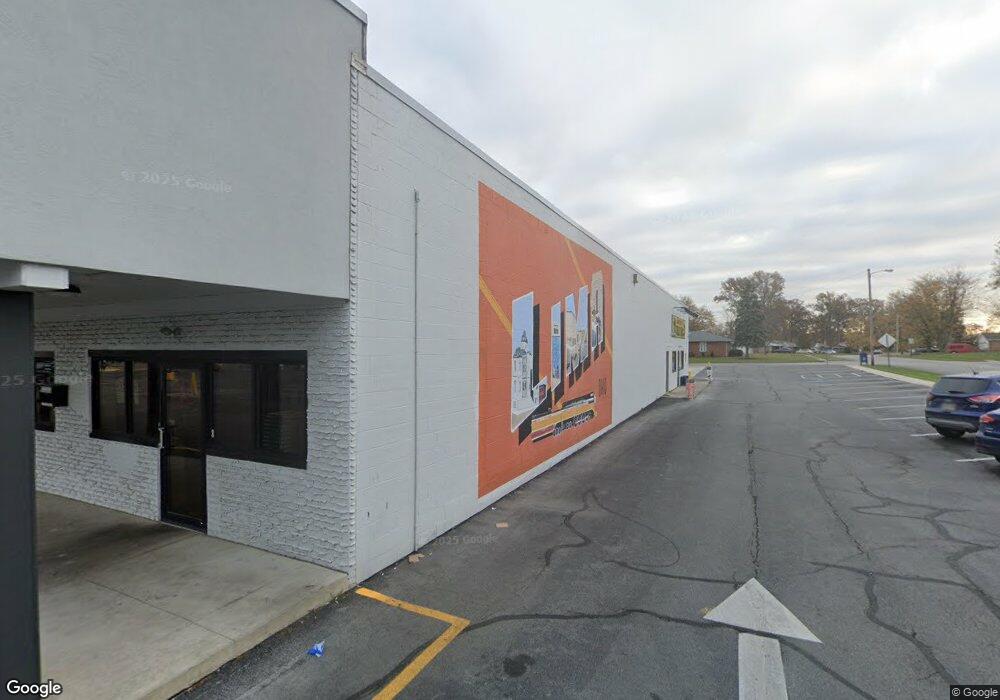
This home is located at 902 N Cable Rd, Lima, OH 45805. 902 N Cable Rd is a home located in Allen County with nearby schools including Heritage Elementary School, Lima West Middle School, and Lima North Middle School.
Ownership History
Date
Name
Owned For
Owner Type
Purchase Details
Closed on
Apr 13, 2022
Bought by
Lima Me Llc
Home Financials for this Owner
Home Financials are based on the most recent Mortgage that was taken out on this home.
Interest Rate
4.72%
Purchase Details
Closed on
Mar 21, 2022
Sold by
Us Bank National Association
Bought by
Lima Me Llc
Home Financials for this Owner
Home Financials are based on the most recent Mortgage that was taken out on this home.
Interest Rate
4.72%
Purchase Details
Closed on
Feb 21, 2020
Sold by
Prodigy Properties
Bought by
U S Bank National Association and Velocity Commercial Capital Loan Trust
Purchase Details
Closed on
Apr 1, 1982
Bought by
Clyde Evans Land Co Inc
Create a Home Valuation Report for This Property
The Home Valuation Report is an in-depth analysis detailing your home's value as well as a comparison with similar homes in the area
Home Values in the Area
Average Home Value in this Area
Purchase History
| Date | Buyer | Sale Price | Title Company |
|---|---|---|---|
| Lima Me Llc | $2,900,000 | -- | |
| Lima Me Llc | $2,900,000 | New Title Company Name | |
| U S Bank National Association | $1,500,100 | None Available | |
| Clyde Evans Land Co Inc | $200,000 | -- |
Source: Public Records
Mortgage History
| Date | Status | Borrower | Loan Amount |
|---|---|---|---|
| Closed | Lima Me Llc | -- | |
| Open | Lima Me Llc | $2,175,000 |
Source: Public Records
Tax History
| Year | Tax Paid | Tax Assessment Tax Assessment Total Assessment is a certain percentage of the fair market value that is determined by local assessors to be the total taxable value of land and additions on the property. | Land | Improvement |
|---|---|---|---|---|
| 2024 | $48,087 | $1,005,340 | $186,760 | $818,580 |
| 2023 | $31,737 | $590,250 | $169,790 | $420,460 |
| 2022 | $31,675 | $590,250 | $169,790 | $420,460 |
| 2021 | $33,222 | $590,250 | $169,790 | $420,460 |
| 2020 | $33,922 | $555,530 | $169,790 | $385,740 |
| 2019 | $33,922 | $555,530 | $169,790 | $385,740 |
| 2018 | $33,397 | $555,530 | $169,790 | $385,740 |
| 2017 | $33,237 | $555,530 | $169,790 | $385,740 |
| 2016 | $33,779 | $557,210 | $169,790 | $387,420 |
| 2015 | $34,876 | $557,210 | $169,790 | $387,420 |
| 2014 | $37,585 | $624,370 | $169,790 | $454,580 |
| 2013 | $1,780 | $32,800 | $32,800 | $0 |
Source: Public Records
Map
Nearby Homes
- 3 Poulston Place
- 705 Cornell Dr
- 1753 Leland Ave
- 102 Charwood Dr
- 1641 Whitehall Dr
- 1600 Leland Ave
- 1730 Homeward Ave
- 00 Homeward Ave
- 1918 Oakland Pkwy
- 275 N Dale Dr
- 1716 Oakland Pkwy
- 1407 Latham Ave
- 1607 W Wayne St
- 2201 W High St
- 2057 W High St
- 1580 W Robb Ave
- 1517 Allentown Rd
- 1245 Latham Ave
- 1541 Oakland Pkwy
- 1508 Oakland Pkwy
Your Personal Tour Guide
Ask me questions while you tour the home.