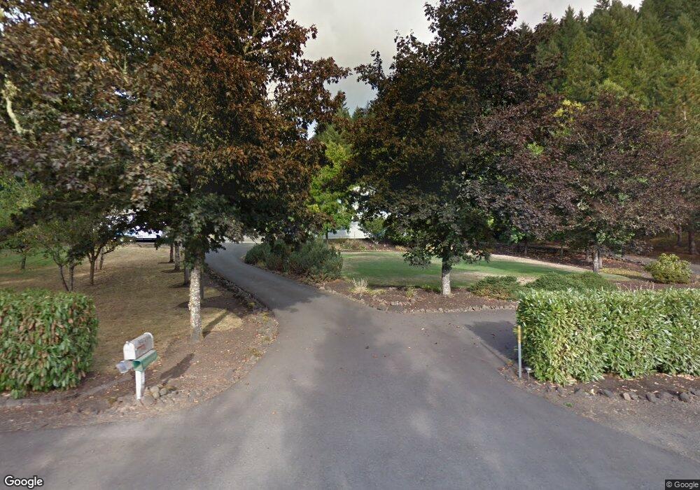
90290 Hill Rd Springfield, OR 97478
Estimated Value: $901,000 - $1,034,551
3
Beds
5
Baths
3,814
Sq Ft
$257/Sq Ft
Est. Value
About This Home
This home is located at 90290 Hill Rd, Springfield, OR 97478 and is currently estimated at $980,388, approximately $257 per square foot. 90290 Hill Rd is a home located in Lane County with nearby schools including Yolanda Elementary School, Briggs Middle School, and Thurston High School.
Ownership History
Date
Name
Owned For
Owner Type
Purchase Details
Closed on
May 18, 2015
Sold by
Stinchcomb Ronald J
Bought by
Stinchcomb Ronald J and Paz Dianna
Current Estimated Value
Purchase Details
Closed on
Jul 19, 2011
Sold by
Scott Loren S and Scott Natalie C
Bought by
Stinchcomb Ronald J
Home Financials for this Owner
Home Financials are based on the most recent Mortgage that was taken out on this home.
Original Mortgage
$293,440
Outstanding Balance
$200,670
Interest Rate
4.46%
Mortgage Type
New Conventional
Estimated Equity
$779,718
Purchase Details
Closed on
Jun 4, 2003
Sold by
Machado Manuel C and Machado Belma A
Bought by
Scott Loren S and Scott Natalie C
Home Financials for this Owner
Home Financials are based on the most recent Mortgage that was taken out on this home.
Original Mortgage
$272,000
Interest Rate
5.71%
Mortgage Type
Purchase Money Mortgage
Create a Home Valuation Report for This Property
The Home Valuation Report is an in-depth analysis detailing your home's value as well as a comparison with similar homes in the area
Purchase History
| Date | Buyer | Sale Price | Title Company |
|---|---|---|---|
| Stinchcomb Ronald J | -- | None Available | |
| Stinchcomb Ronald J | $366,800 | Fidelity National Title Ins | |
| Scott Loren S | $340,000 | Evergreen Land Title Co |
Source: Public Records
Mortgage History
| Date | Status | Borrower | Loan Amount |
|---|---|---|---|
| Open | Stinchcomb Ronald J | $293,440 | |
| Previous Owner | Scott Loren S | $272,000 | |
| Closed | Scott Loren S | $51,000 |
Source: Public Records
Tax History
| Year | Tax Paid | Tax Assessment Tax Assessment Total Assessment is a certain percentage of the fair market value that is determined by local assessors to be the total taxable value of land and additions on the property. | Land | Improvement |
|---|---|---|---|---|
| 2025 | $5,779 | $508,261 | -- | -- |
| 2024 | $5,608 | $493,458 | -- | -- |
| 2023 | $5,608 | $479,085 | -- | -- |
| 2022 | $5,240 | $465,132 | $0 | $0 |
| 2021 | $5,118 | $451,585 | $0 | $0 |
| 2020 | $4,966 | $438,432 | $0 | $0 |
| 2019 | $4,785 | $425,663 | $0 | $0 |
| 2018 | $4,627 | $401,229 | $0 | $0 |
| 2017 | $4,230 | $401,229 | $0 | $0 |
| 2016 | $4,118 | $389,543 | $0 | $0 |
| 2015 | $4,009 | $378,197 | $0 | $0 |
| 2014 | -- | $341,507 | $0 | $0 |
Source: Public Records
Map
Nearby Homes
- 0 Hill Rd
- 89112 Sky High Dr
- 37186 Tree Farm Rd
- 91375 Marcola Rd
- 37082 Goats Rd
- 0 Marcola Rd
- 3333 Hayden Bridge Rd
- 2783 31st St
- 2309 35th St
- 3442 River Heights Dr
- 3710 River Heights Dr
- 3488 River Heights Dr
- 3767 Vitus Ln
- 2790 23rd St
- 2135 37th Place
- 2483 30th Place
- 2985 W St
- 3125 V St
- 2343 31st St
- 37075 Camp Creek Rd
Your Personal Tour Guide
Ask me questions while you tour the home.