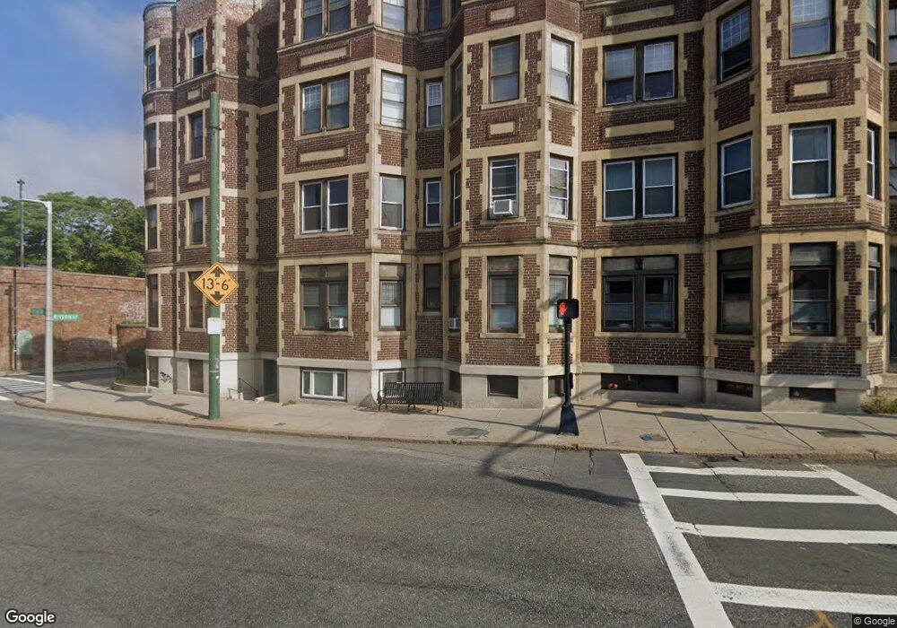
903 Huntington Ave Unit A Boston, MA 02115
Mission Hill NeighborhoodEstimated Value: $352,667 - $498,000
1
Bed
1
Bath
633
Sq Ft
$673/Sq Ft
Est. Value
About This Home
This home is located at 903 Huntington Ave Unit A, Boston, MA 02115 and is currently estimated at $426,222, approximately $673 per square foot. 903 Huntington Ave Unit A is a home located in Suffolk County with nearby schools including Roxbury Preparatory Charter School, St. Mary of the Assumption Elementary School, and Malik Academy.
Ownership History
Date
Name
Owned For
Owner Type
Purchase Details
Closed on
Jun 30, 1993
Sold by
Lomas Mtg Usa Inc
Bought by
New World Rt and Finn
Current Estimated Value
Home Financials for this Owner
Home Financials are based on the most recent Mortgage that was taken out on this home.
Original Mortgage
$10,000
Interest Rate
7.46%
Mortgage Type
Purchase Money Mortgage
Create a Home Valuation Report for This Property
The Home Valuation Report is an in-depth analysis detailing your home's value as well as a comparison with similar homes in the area
Home Values in the Area
Average Home Value in this Area
Purchase History
| Date | Buyer | Sale Price | Title Company |
|---|---|---|---|
| New World Rt | $11,500 | -- |
Source: Public Records
Mortgage History
| Date | Status | Borrower | Loan Amount |
|---|---|---|---|
| Closed | New World Rt | $10,000 |
Source: Public Records
Tax History Compared to Growth
Tax History
| Year | Tax Paid | Tax Assessment Tax Assessment Total Assessment is a certain percentage of the fair market value that is determined by local assessors to be the total taxable value of land and additions on the property. | Land | Improvement |
|---|---|---|---|---|
| 2025 | $2,917 | $251,900 | $0 | $251,900 |
| 2024 | $2,705 | $248,200 | $0 | $248,200 |
| 2023 | $2,586 | $240,800 | $0 | $240,800 |
| 2022 | $2,570 | $236,200 | $0 | $236,200 |
| 2021 | $2,470 | $231,500 | $0 | $231,500 |
| 2020 | $2,549 | $241,400 | $0 | $241,400 |
| 2019 | $2,379 | $225,700 | $0 | $225,700 |
| 2018 | $2,190 | $209,000 | $0 | $209,000 |
| 2017 | $2,106 | $198,900 | $0 | $198,900 |
| 2016 | $2,085 | $189,500 | $0 | $189,500 |
| 2015 | $2,242 | $185,100 | $0 | $185,100 |
| 2014 | $2,115 | $168,100 | $0 | $168,100 |
Source: Public Records
Map
Nearby Homes
- 390 Riverway Unit 24
- 50 Jamaicaway Unit 1
- 820-824 Huntington Ave
- 44 Washington St Unit 501
- 18 Eldora St
- 58 Kent St Unit 302
- 58 Kent St Unit 404
- 58 Kent St Unit 305
- 58 Kent St Unit 303
- 33 Pond Ave Unit 422
- 33 Pond Ave Unit 709
- 33 Pond Ave Unit 523
- 33 Pond Ave Unit 919
- 6 Juniper St Unit 16
- 77 Pond Ave Unit 1103
- 39 Kent St Unit B
- 216 Aspinwall Ave
- 214 Aspinwall Ave Unit 2
- 99 Pond Ave Unit 608
- 14 Linden St Unit 8
- 394 Riverway Unit 15
- 394 Riverway Unit 14
- 394 Riverway Unit 12A
- 394 Riverway Unit 12
- 394 Riverway Unit 11
- 394 Riverway Unit 10
- 394 Riverway Unit 9
- 394 Riverway Unit 8
- 394 Riverway Unit 7
- 394 Riverway Unit 6
- 394 Riverway Unit 5
- 394 Riverway Unit 4
- 394 Riverway Unit 3
- 394 Riverway Unit 2
- 394 Riverway Unit 1
- 394 Riverway Unit D
- 394 Riverway Unit C
- 903 Huntington Ave Unit B
- 394 Riverway Unit 6 - 269,900
- 394 Riverway