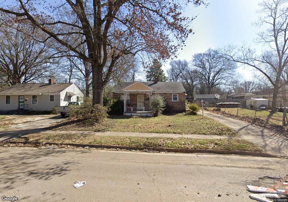
904 Waring Rd Memphis, TN 38122
Berclair NeighborhoodEstimated Value: $87,000 - $105,524
3
Beds
1
Bath
816
Sq Ft
$119/Sq Ft
Est. Value
About This Home
This home is located at 904 Waring Rd, Memphis, TN 38122 and is currently estimated at $97,381, approximately $119 per square foot. 904 Waring Rd is a home located in Shelby County with nearby schools including Berclair Elementary School, Kingsbury High School, and Treadwell Middle School.
Ownership History
Date
Name
Owned For
Owner Type
Purchase Details
Closed on
Jan 3, 2019
Sold by
Bernardini Kenneth J and Bernardini Patricia M
Bought by
Lbi Rentals Llc
Current Estimated Value
Purchase Details
Closed on
Jan 30, 2003
Sold by
The Estate Of Walter James Palazola
Bought by
Bernardini Kenneth and Bernardini Patricia
Purchase Details
Closed on
Oct 1, 2001
Sold by
Palazola Robert J
Bought by
Palazola Walter James
Purchase Details
Closed on
May 4, 1998
Sold by
Grosswiller Angelina C and Grosswiller Glen H
Bought by
Palazola Robert J
Create a Home Valuation Report for This Property
The Home Valuation Report is an in-depth analysis detailing your home's value as well as a comparison with similar homes in the area
Home Values in the Area
Average Home Value in this Area
Purchase History
| Date | Buyer | Sale Price | Title Company |
|---|---|---|---|
| Lbi Rentals Llc | -- | None Available | |
| Bernardini Kenneth | $45,000 | Realty Title | |
| Bernardini Kenneth | -- | Realty Title | |
| Palazola Walter James | $5,000 | -- | |
| Palazola Walter James | $5,000 | -- | |
| Palazola Robert J | -- | -- | |
| Palazola Robert J | -- | -- |
Source: Public Records
Tax History
| Year | Tax Paid | Tax Assessment Tax Assessment Total Assessment is a certain percentage of the fair market value that is determined by local assessors to be the total taxable value of land and additions on the property. | Land | Improvement |
|---|---|---|---|---|
| 2025 | $542 | $21,550 | $4,500 | $17,050 |
| 2024 | $542 | $16,000 | $2,150 | $13,850 |
| 2023 | $975 | $16,000 | $2,150 | $13,850 |
| 2022 | $975 | $16,000 | $2,150 | $13,850 |
| 2021 | $986 | $16,000 | $2,150 | $13,850 |
| 2020 | $799 | $11,025 | $2,150 | $8,875 |
| 2019 | $352 | $11,025 | $2,150 | $8,875 |
| 2018 | $352 | $11,025 | $2,150 | $8,875 |
| 2017 | $361 | $11,025 | $2,150 | $8,875 |
| 2016 | $482 | $11,025 | $0 | $0 |
| 2014 | $482 | $11,025 | $0 | $0 |
Source: Public Records
Map
Nearby Homes
- 943 Waring Rd
- 4395 Ferndale Rd
- 4381 Janice Ave
- 1042 Larue St
- 4287 Elaine Ave
- 823 Novarese Ave
- 822 Eastern Dr
- 4207 Brenmar Ave
- 4368 Macon Rd
- 4205 Tutwiler Ave
- 4223 Tutwiler Ave
- 994 N Perkins Rd
- 755 N Perkins Rd
- 4124 Given Ave
- 1025 Tatum Rd
- 4672 Given Ave
- 1026 Wingfield Rd
- 989 Wingfield Rd
- 1105 Stratford Rd
- 4580 Lawrence Rd
Your Personal Tour Guide
Ask me questions while you tour the home.