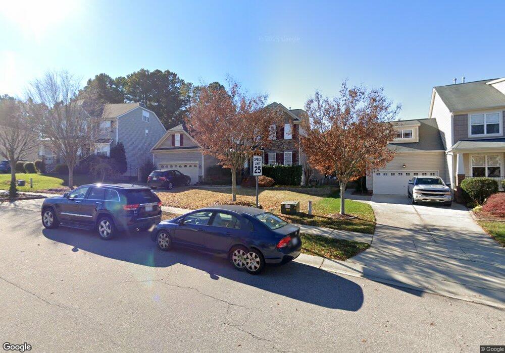
9041 Linslade Way Wake Forest, NC 27587
Estimated Value: $532,985 - $611,000
Studio
3
Baths
2,816
Sq Ft
$204/Sq Ft
Est. Value
About This Home
This home is located at 9041 Linslade Way, Wake Forest, NC 27587 and is currently estimated at $573,746, approximately $203 per square foot. 9041 Linslade Way is a home located in Wake County with nearby schools including Rolesville Elementary School, Wake Forest-Rolesville Middle School, and Heritage High School.
Ownership History
Date
Name
Owned For
Owner Type
Purchase Details
Closed on
Oct 31, 2006
Sold by
Centex Homes
Bought by
Turner Michael J and Turner Danielle
Current Estimated Value
Home Financials for this Owner
Home Financials are based on the most recent Mortgage that was taken out on this home.
Original Mortgage
$276,900
Outstanding Balance
$165,441
Interest Rate
6.39%
Mortgage Type
Purchase Money Mortgage
Estimated Equity
$408,305
Create a Home Valuation Report for This Property
The Home Valuation Report is an in-depth analysis detailing your home's value as well as a comparison with similar homes in the area
Home Values in the Area
Average Home Value in this Area
Purchase History
| Date | Buyer | Sale Price | Title Company |
|---|---|---|---|
| Turner Michael J | $346,500 | None Available |
Source: Public Records
Mortgage History
| Date | Status | Borrower | Loan Amount |
|---|---|---|---|
| Open | Turner Michael J | $276,900 |
Source: Public Records
Tax History
| Year | Tax Paid | Tax Assessment Tax Assessment Total Assessment is a certain percentage of the fair market value that is determined by local assessors to be the total taxable value of land and additions on the property. | Land | Improvement |
|---|---|---|---|---|
| 2025 | $5,572 | $579,503 | $110,000 | $469,503 |
| 2024 | $5,551 | $579,503 | $110,000 | $469,503 |
Source: Public Records
Map
Nearby Homes
- 9108 Linslade Way
- 9117 Linslade Way
- 9100 Dansforeshire Way
- 3705 Andoversford Ct
- 3908 Robins Nest Ln
- 712 Marshall Farm St
- 749 Marshall Farm St
- 1321 Yardley Dr
- 2925 Carriage Meadows Dr
- 9249 Kitchin Farms Way Unit 432
- 9237 Kitchin Farms Way Unit 429
- 6633 Penfield St
- 9637 Burge Ct
- 9232 Kitchin Farms Way
- 337 Simwood Ave
- 3901 Sanford Creek Ave
- 3065 Thurman Dairy Loop
- 904 Prairie Smoke St
- 2800 Carriage Meadows Dr
- 1000 Lightfoot Ct
- 9045 Linslade Way
- 9037 Linslade Way
- 9040 Cornwell Dr
- 9049 Linslade Way
- 9036 Cornwell Dr
- 9044 Cornwell Dr
- 9033 Linslade Way
- 9032 Cornwell Dr
- 9048 Cornwell Dr
- 9053 Linslade Way
- 9040 Linslade Way
- 9044 Linslade Way
- 9029 Linslade Way
- 9048 Linslade Way
- 9028 Cornwell Dr
- 9052 Cornwell Dr
- 9057 Linslade Way
- 9052 Linslade Way
- 9036 Linslade Way
- 9025 Linslade Way
Your Personal Tour Guide
Ask me questions while you tour the home.