90420 Hill Rd Springfield, OR 97478
Estimated Value: $781,000
About This Home
This home is located at 90420 Hill Rd, Springfield, OR 97478 and is currently estimated at $781,000, approximately $391 per square foot. 90420 Hill Rd is a home with nearby schools including Yolanda Elementary School, Briggs Middle School, and Thurston High School.
Ownership History
We collect this data history from publicly available records. To have your information removed, we recommend requesting removal directly through your county’s website.
Purchase Details
Home Financials for this Owner
Home Financials are based on the most recent Mortgage that was taken out on this home.Purchase Details
Purchase Details
Purchase Details
Purchase Details
Purchase Details
Purchase History
We collect this data history from publicly available records. To have your information removed, we recommend requesting removal directly through your county’s website.
| Date | Buyer | Sale Price | Title Company |
|---|---|---|---|
| -- | Cascade Title | ||
| -- | Cascade Title | ||
| -- | None Listed On Document | ||
| $610,000 | Cascade Title Co | ||
| -- | None Listed On Document | ||
| -- | None Available |
Mortgage History
We collect this data history from publicly available records. To have your information removed, we recommend requesting removal directly through your county’s website.
| Date | Status | Borrower | Loan Amount |
|---|---|---|---|
| Open | $457,000 |
Tax History
We collect this data history from publicly available records. To have your information removed, we recommend requesting removal directly through your county’s website.
| Year | Tax Paid | Tax Assessment Tax Assessment Total Assessment is a certain percentage of the fair market value that is determined by local assessors to be the total taxable value of land and additions on the property. | Land | Improvement |
|---|---|---|---|---|
| 2025 | $4,331 | $386,135 | -- | -- |
| 2024 | $4,210 | $374,889 | -- | -- |
| 2023 | $4,210 | $363,970 | -- | -- |
| 2022 | $3,931 | $353,369 | $0 | $0 |
| 2021 | $3,838 | $343,077 | $0 | $0 |
| 2020 | $3,723 | $333,085 | $0 | $0 |
| 2019 | $3,585 | $323,384 | $0 | $0 |
| 2018 | $3,465 | $304,821 | $0 | $0 |
| 2017 | $3,213 | $304,821 | $0 | $0 |
| 2016 | $3,128 | $44,394 | $0 | $0 |
| 2015 | $441 | $43,101 | $0 | $0 |
| 2014 | $429 | $41,846 | $0 | $0 |
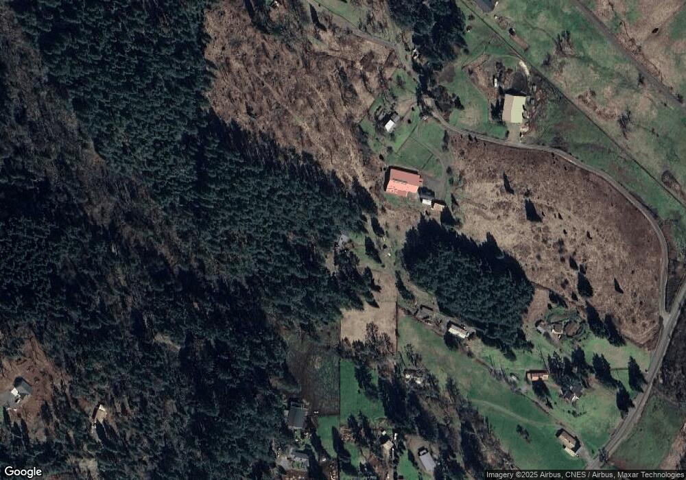
Map
- 90375 Hill Rd
- 0 Hill Rd
- 0 Alder Branch Rd Unit 429162594
- 90966 Hill Rd
- 0 McGowan Creek Rd Unit 277404196
- 91375 Marcola Rd
- 37186 Tree Farm Rd
- 35282 McKenzie View Dr
- 35271 McKenzie View Dr
- 37082 Goats Rd
- 89112 Sky High Dr
- 89093 Marcola Rd
- 35662 High Ranch Dr
- 0 Oakshire Dr Unit 11
- 0 Oakshire Dr Unit 11 581983361
- 88796 Oakshire Dr
- 0 Marcola Rd
- 2494 38th St
- 2453 37th St
- 3392 Falcon Dr
Ask me questions while you tour the home.