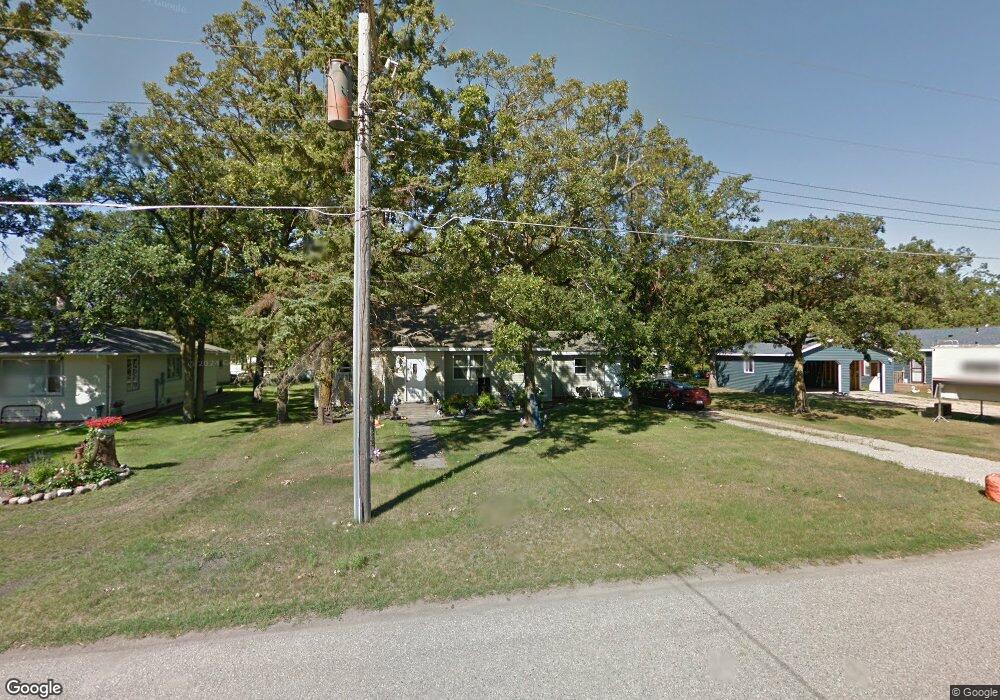
905 Grant St S Karlstad, MN 56732
Estimated Value: $85,213 - $104,000
2
Beds
1
Bath
1,122
Sq Ft
$85/Sq Ft
Est. Value
About This Home
This home is located at 905 Grant St S, Karlstad, MN 56732 and is currently estimated at $95,053, approximately $84 per square foot. 905 Grant St S is a home located in Kittson County with nearby schools including Karlstad Elementary School and Tri-County Secondary School.
Ownership History
Date
Name
Owned For
Owner Type
Purchase Details
Closed on
Mar 29, 2022
Sold by
Mijama Trilabo Llc
Bought by
Round Michael
Current Estimated Value
Home Financials for this Owner
Home Financials are based on the most recent Mortgage that was taken out on this home.
Original Mortgage
$73,641
Outstanding Balance
$68,751
Interest Rate
3.69%
Mortgage Type
New Conventional
Estimated Equity
$26,302
Create a Home Valuation Report for This Property
The Home Valuation Report is an in-depth analysis detailing your home's value as well as a comparison with similar homes in the area
Purchase History
| Date | Buyer | Sale Price | Title Company |
|---|---|---|---|
| Round Michael | $75,000 | -- |
Source: Public Records
Mortgage History
| Date | Status | Borrower | Loan Amount |
|---|---|---|---|
| Open | Round Michael | $73,641 |
Source: Public Records
Tax History
| Year | Tax Paid | Tax Assessment Tax Assessment Total Assessment is a certain percentage of the fair market value that is determined by local assessors to be the total taxable value of land and additions on the property. | Land | Improvement |
|---|---|---|---|---|
| 2024 | $682 | $72,000 | $0 | $0 |
| 2023 | $10 | $74,600 | $0 | $0 |
| 2022 | $1,278 | $42,700 | $0 | $0 |
| 2021 | $1,160 | $62,100 | $0 | $0 |
| 2020 | $1,182 | $62,100 | $0 | $0 |
| 2019 | $1,178 | $59,400 | $5,100 | $54,300 |
| 2018 | $1,024 | $59,400 | $4,900 | $54,500 |
| 2017 | $1,040 | $59,400 | $4,900 | $54,500 |
| 2016 | $934 | $55,000 | $4,500 | $50,500 |
| 2015 | $519 | $0 | $0 | $0 |
| 2014 | $508 | $0 | $0 | $0 |
Source: Public Records
Map
Nearby Homes
- 601 1st St S
- 4331 Minnesota 11
- 107 Harding St S
- 102 Colony Dr S
- TBD 380th St NW
- 2499 405th Ave
- Tbd 380th St NW
- 34311 150th Ave NW
- TBD Tbd
- 19749 190th Ave
- 207 2nd St SW
- TBD State Highway 11
- 525 2nd St N
- 504 E Franklin Ave
- 3796 300th St
- 14590 380th St NE
- 109 E 5th St
- 603 Washington Ave
- 909 Bradford Ave
- 506 W 3rd St
Your Personal Tour Guide
Ask me questions while you tour the home.