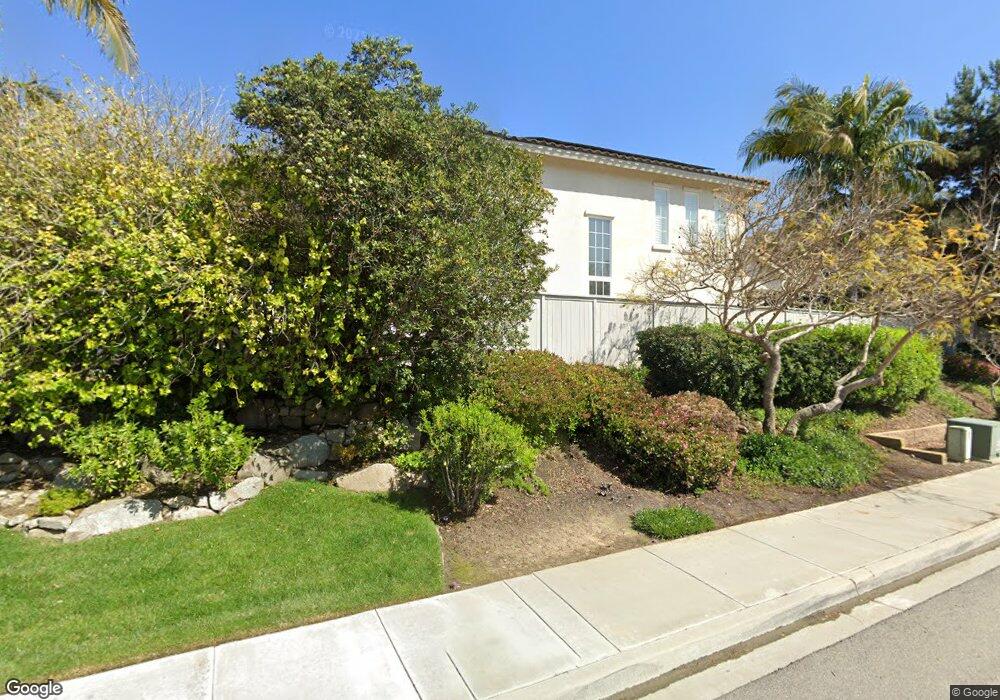
905 Merlo Ct Carlsbad, CA 92011
Aviara NeighborhoodEstimated Value: $2,252,438 - $2,645,000
5
Beds
4
Baths
3,492
Sq Ft
$692/Sq Ft
Est. Value
About This Home
This home is located at 905 Merlo Ct, Carlsbad, CA 92011 and is currently estimated at $2,417,610, approximately $692 per square foot. 905 Merlo Ct is a home located in San Diego County with nearby schools including Aviara Oaks Elementary, Aviara Oaks Middle, and Carlsbad High School.
Ownership History
Date
Name
Owned For
Owner Type
Purchase Details
Closed on
Jan 15, 1998
Sold by
Brookfield Broccato Inc
Bought by
Mower Matthew G and Mower Karen L
Current Estimated Value
Home Financials for this Owner
Home Financials are based on the most recent Mortgage that was taken out on this home.
Original Mortgage
$373,350
Interest Rate
7.15%
Create a Home Valuation Report for This Property
The Home Valuation Report is an in-depth analysis detailing your home's value as well as a comparison with similar homes in the area
Home Values in the Area
Average Home Value in this Area
Purchase History
| Date | Buyer | Sale Price | Title Company |
|---|---|---|---|
| Mower Matthew G | $415,000 | First American Title |
Source: Public Records
Mortgage History
| Date | Status | Borrower | Loan Amount |
|---|---|---|---|
| Previous Owner | Mower Matthew G | $373,350 |
Source: Public Records
Tax History Compared to Growth
Tax History
| Year | Tax Paid | Tax Assessment Tax Assessment Total Assessment is a certain percentage of the fair market value that is determined by local assessors to be the total taxable value of land and additions on the property. | Land | Improvement |
|---|---|---|---|---|
| 2025 | $7,534 | $716,269 | $159,665 | $556,604 |
| 2024 | $7,534 | $702,226 | $156,535 | $545,691 |
| 2023 | $7,495 | $688,458 | $153,466 | $534,992 |
| 2022 | $7,379 | $674,959 | $150,457 | $524,502 |
| 2021 | $7,322 | $661,725 | $147,507 | $514,218 |
| 2020 | $7,273 | $654,941 | $145,995 | $508,946 |
| 2019 | $7,141 | $642,100 | $143,133 | $498,967 |
| 2018 | $6,864 | $629,511 | $140,327 | $489,184 |
| 2017 | $6,760 | $617,169 | $137,576 | $479,593 |
| 2016 | $6,485 | $605,069 | $134,879 | $470,190 |
| 2015 | $6,457 | $595,981 | $132,853 | $463,128 |
| 2014 | $6,892 | $584,307 | $130,251 | $454,056 |
Source: Public Records
Map
Nearby Homes
- 7426 Lantana Terrace
- 7457 Neptune Dr
- 7521 Navigator Cir
- 1010 Whimbrel Ct
- 7313 San Luis St Unit 236
- 7139 Linden Terrace
- 1313 Shorebird Ln Unit 2
- 7215 Daffodil Place
- 1341 Mallard Ct
- 1332 Cassins St
- 7013 Lavender Way
- 2053 W Pearl St
- 7233 San Bartolo St Unit 376
- 7236 San Benito St Unit 355
- 7305 San Bartolo St Unit 374
- 7320 San Bartolo St Unit 217
- 7241 San Luis St
- 7305 San Luis St Unit 240
- 7313 Santa Barbara St Unit 294
- 7317 Santa Barbara St Unit 292