905 Steele Rd Hernando, MS 38632
Estimated Value: $278,000 - $341,000
3
Beds
--
Bath
1,672
Sq Ft
$187/Sq Ft
Est. Value
About This Home
This home is located at 905 Steele Rd, Hernando, MS 38632 and is currently estimated at $312,191, approximately $186 per square foot. 905 Steele Rd is a home located in DeSoto County with nearby schools including Lewisburg Primary School, Lewisburg Elementary School, and Lewisburg Middle School.
Ownership History
Date
Name
Owned For
Owner Type
Purchase Details
Closed on
Aug 30, 2021
Sold by
Dickerson Zachary Edward and Dickerson Kaylan
Bought by
Nowell Isaiah C and Nowell Harli N
Current Estimated Value
Home Financials for this Owner
Home Financials are based on the most recent Mortgage that was taken out on this home.
Original Mortgage
$216,125
Outstanding Balance
$195,367
Interest Rate
2.8%
Mortgage Type
New Conventional
Estimated Equity
$116,824
Purchase Details
Closed on
Jul 30, 2014
Sold by
Long Donna S
Bought by
Dickerson Zachary Edward and Dickerson Kaylan
Home Financials for this Owner
Home Financials are based on the most recent Mortgage that was taken out on this home.
Original Mortgage
$130,150
Interest Rate
4.19%
Mortgage Type
New Conventional
Create a Home Valuation Report for This Property
The Home Valuation Report is an in-depth analysis detailing your home's value as well as a comparison with similar homes in the area
Home Values in the Area
Average Home Value in this Area
Purchase History
| Date | Buyer | Sale Price | Title Company |
|---|---|---|---|
| Nowell Isaiah C | -- | None Listed On Document | |
| Dickerson Zachary Edward | -- | None Available | |
| Long Donna S | -- | None Available |
Source: Public Records
Mortgage History
| Date | Status | Borrower | Loan Amount |
|---|---|---|---|
| Open | Nowell Isaiah C | $216,125 | |
| Previous Owner | Long Donna S | $130,150 |
Source: Public Records
Tax History
| Year | Tax Paid | Tax Assessment Tax Assessment Total Assessment is a certain percentage of the fair market value that is determined by local assessors to be the total taxable value of land and additions on the property. | Land | Improvement |
|---|---|---|---|---|
| 2025 | $892 | $14,328 | $3,000 | $11,328 |
| 2024 | $794 | $10,838 | $3,000 | $7,838 |
| 2023 | $794 | $10,838 | $0 | $0 |
| 2022 | $794 | $10,838 | $3,000 | $7,838 |
| 2021 | $946 | $12,339 | $4,501 | $7,838 |
| 2020 | $883 | $11,712 | $4,501 | $7,211 |
| 2019 | $883 | $11,712 | $4,501 | $7,211 |
| 2017 | $867 | $18,429 | $11,465 | $6,964 |
| 2016 | $867 | $11,465 | $4,501 | $6,964 |
| 2015 | $1,155 | $18,429 | $11,465 | $6,964 |
| 2014 | $867 | $11,465 | $0 | $0 |
| 2013 | $867 | $11,465 | $0 | $0 |
Source: Public Records
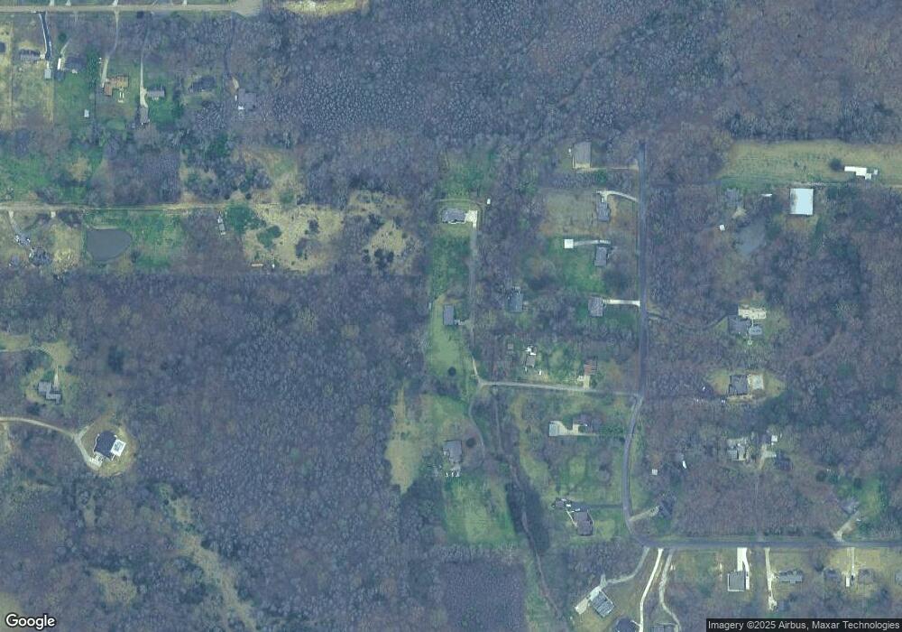
Map
Nearby Homes
- 0 Steele Rd
- 3346 Kyle Ln
- 3605 Byhalia Rd
- 1347 Creekside Ln
- 2327 Livingston Way
- 324 Oakworth Dr
- 2275 Livingston Way
- 2255 Livingston Way
- 750 Red Cedar Loop
- 909 Red Cedar Loop
- 757 Red Cedar Loop
- 2188 Sawyer Cir
- 2133 Sawyer Cir
- 837 Red Cedar Loop
- 2174 Sawyer Cir
- 814 Red Cedar Loop
- 792 Red Cedar Loop
- 769 Red Cedar Loop
- 830 Red Cedar Loop
- 870 Red Cedar Loop
- 835 Steele Rd
- 901 Steele Rd
- 911 Steele Rd
- 885 Steele Rd
- 795 Steele Rd
- 915 Steele Rd
- 775 Steele Rd
- 735 Steele Rd
- 985 Steele Rd
- 970 Steele Rd
- 930 Steele Rd
- 840 Steele Rd
- 3377 Kyle Ln
- 894 Steele Rd
- 3716 Myrtlewood Dr
- 3349 Kyle Ln
- 3720 Myrtlewood Dr
- 3659 Myrtlewood Dr S
- 3649 Myrtlewood Dr
- 805 Malone Rd S
Your Personal Tour Guide
Ask me questions while you tour the home.