9052 Snapdragon Dr Missoula, MT 59808
Wye NeighborhoodEstimated Value: $537,000 - $585,000
3
Beds
2
Baths
1,366
Sq Ft
$412/Sq Ft
Est. Value
About This Home
This home is located at 9052 Snapdragon Dr, Missoula, MT 59808 and is currently estimated at $563,328, approximately $412 per square foot. 9052 Snapdragon Dr is a home located in Missoula County with nearby schools including Frenchtown Elementary School, Frenchtown Intermediate School, and Frenchtown Junior High School.
Ownership History
Date
Name
Owned For
Owner Type
Purchase Details
Closed on
Jun 16, 2010
Sold by
Waldo Williams Investment Llp
Bought by
Baker William E and Baker Patricia Johnson
Current Estimated Value
Home Financials for this Owner
Home Financials are based on the most recent Mortgage that was taken out on this home.
Original Mortgage
$123,540
Outstanding Balance
$82,878
Interest Rate
4.99%
Mortgage Type
Construction
Estimated Equity
$480,450
Create a Home Valuation Report for This Property
The Home Valuation Report is an in-depth analysis detailing your home's value as well as a comparison with similar homes in the area
Home Values in the Area
Average Home Value in this Area
Purchase History
| Date | Buyer | Sale Price | Title Company |
|---|---|---|---|
| Baker William E | -- | Title Services Inc |
Source: Public Records
Mortgage History
| Date | Status | Borrower | Loan Amount |
|---|---|---|---|
| Open | Baker William E | $123,540 |
Source: Public Records
Tax History Compared to Growth
Tax History
| Year | Tax Paid | Tax Assessment Tax Assessment Total Assessment is a certain percentage of the fair market value that is determined by local assessors to be the total taxable value of land and additions on the property. | Land | Improvement |
|---|---|---|---|---|
| 2025 | $3,498 | $584,000 | $101,900 | $482,100 |
| 2024 | $5,286 | $513,100 | $80,704 | $432,396 |
| 2023 | $4,373 | $513,100 | $80,704 | $432,396 |
| 2022 | $3,746 | $344,800 | $0 | $0 |
| 2021 | $3,754 | $344,800 | $0 | $0 |
| 2020 | $3,602 | $312,600 | $0 | $0 |
| 2019 | $3,581 | $312,600 | $0 | $0 |
| 2018 | $3,155 | $272,000 | $0 | $0 |
| 2017 | $3,202 | $272,000 | $0 | $0 |
| 2016 | $2,792 | $238,000 | $0 | $0 |
| 2015 | $2,647 | $238,000 | $0 | $0 |
| 2014 | $2,464 | $125,451 | $0 | $0 |
Source: Public Records
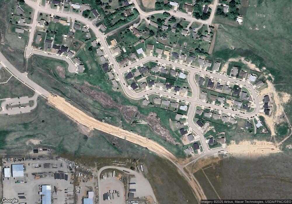
Map
Nearby Homes
- 8792 Churchill Downs Dr
- 8791 Churchill Downs Dr
- 8821 Churchill Downs Dr
- 8960 Marigold Ct
- 8915 Snapdragon Dr
- The Orchard Encore Plan at O'Keefe Ranch Estates
- The Snowbrush Plan at O'Keefe Ranch Estates
- The Umpqua Plan at Meadowlands
- The Edgewood Plan at O'Keefe Ranch Estates
- The Vale Plan at Meadowlands
- The Edgewood Plan at Meadowlands
- The Hudson Plan at Meadowlands
- The Orchard Encore Plan at Meadowlands
- The Waterbrook Plan at O'Keefe Ranch Estates
- The Orchard Plan at Meadowlands
- The Snowbrush Plan at Meadowlands
- The Clearwater Plan at O'Keefe Ranch Estates
- The Orchard Plan at O'Keefe Ranch Estates
- The Hudson Plan at O'Keefe Ranch Estates
- 9332 Snapdragon Dr
- 9037 Snapdragon Dr
- 9056 Snapdragon Dr
- 9027 Snapdragon Dr
- 9044 Snapdragon Dr
- 9038 Snapdragon Dr
- 8612 Snapdragon Dr
- 9013 Snapdragon Dr
- 9030 Snapdragon Dr
- 8628 Snapdragon Dr
- 8654 Snapdragon Dr
- 9207 Calder Rd
- 9020 Snapdragon Dr
- 9093 Snapdragon Dr
- 8668 Snapdragon Dr
- 9005 Snapdragon Dr
- 9187 Calder Rd
- 9010 Snapdragon Dr
- 8678 Snapdragon Dr
- 9105 Snapdragon Dr
- 8625 Snapdragon Dr