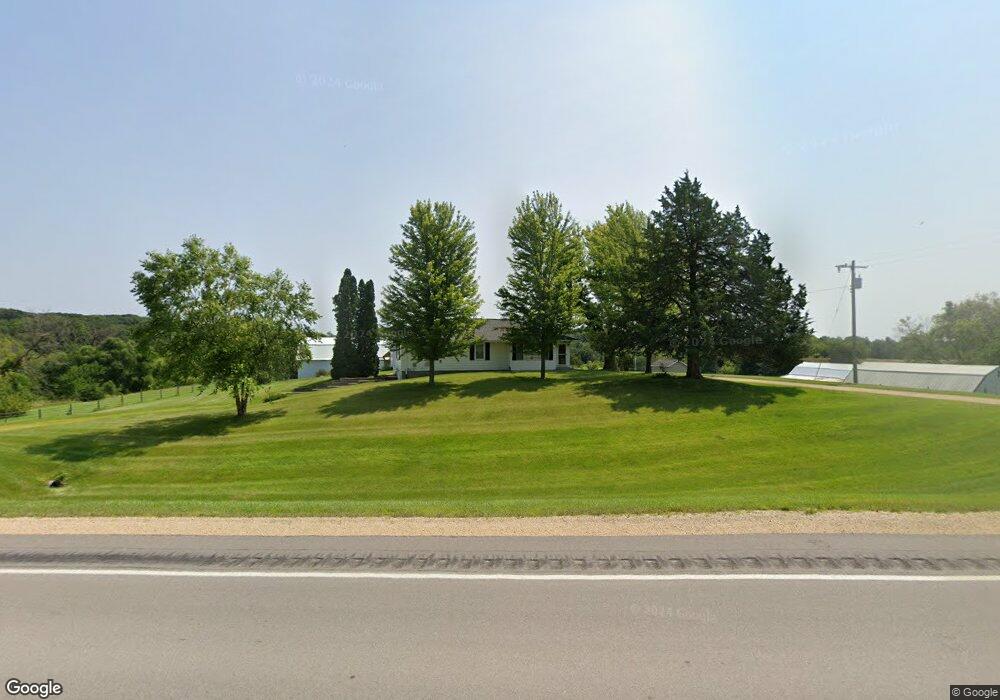
9055 Highway 62 Maquoketa, IA 52060
Estimated Value: $308,000 - $436,000
2
Beds
2
Baths
1,372
Sq Ft
$257/Sq Ft
Est. Value
About This Home
This home is located at 9055 Highway 62, Maquoketa, IA 52060 and is currently estimated at $352,164, approximately $256 per square foot. 9055 Highway 62 is a home located in Jackson County with nearby schools including Andrew Elementary School.
Ownership History
Date
Name
Owned For
Owner Type
Purchase Details
Closed on
Oct 15, 2015
Sold by
Heister Marvin M and Heister Cindy L
Bought by
Schwager Jason M and Schwager Jennifer L
Current Estimated Value
Home Financials for this Owner
Home Financials are based on the most recent Mortgage that was taken out on this home.
Original Mortgage
$160,000
Outstanding Balance
$125,886
Interest Rate
3.88%
Mortgage Type
New Conventional
Estimated Equity
$226,278
Create a Home Valuation Report for This Property
The Home Valuation Report is an in-depth analysis detailing your home's value as well as a comparison with similar homes in the area
Home Values in the Area
Average Home Value in this Area
Purchase History
| Date | Buyer | Sale Price | Title Company |
|---|---|---|---|
| Schwager Jason M | $200,000 | None Available |
Source: Public Records
Mortgage History
| Date | Status | Borrower | Loan Amount |
|---|---|---|---|
| Open | Schwager Jason M | $160,000 |
Source: Public Records
Tax History Compared to Growth
Tax History
| Year | Tax Paid | Tax Assessment Tax Assessment Total Assessment is a certain percentage of the fair market value that is determined by local assessors to be the total taxable value of land and additions on the property. | Land | Improvement |
|---|---|---|---|---|
| 2025 | $2,122 | $231,700 | $78,100 | $153,600 |
| 2024 | $2,122 | $213,300 | $68,400 | $144,900 |
| 2023 | $2,114 | $213,300 | $68,400 | $144,900 |
| 2022 | $1,860 | $165,500 | $68,400 | $97,100 |
| 2021 | $1,924 | $165,500 | $68,400 | $97,100 |
| 2020 | $1,924 | $163,600 | $64,700 | $98,900 |
| 2019 | $1,832 | $156,900 | $0 | $0 |
| 2018 | $1,788 | $156,900 | $0 | $0 |
| 2017 | $1,788 | $148,200 | $0 | $0 |
| 2016 | $1,790 | $148,200 | $0 | $0 |
| 2015 | $1,790 | $148,200 | $0 | $0 |
| 2014 | $1,858 | $146,900 | $0 | $0 |
Source: Public Records
Map
Nearby Homes
- 12811 Iowa 62
- 25483 134th St
- 105 W Benton St
- 911 Lisa Dr
- 510 Butternut St
- 1010 Kathey Dr
- 1007 Kathey Dr
- 310 N Dearborn St
- 109 N Dearborn St
- 107 N Otto St
- 318 N Main St
- 412 E Pleasant St
- 208 S Clark St
- 124 E Platt St
- 220 S Matteson St
- 306 S Eliza St
- 210 S 2nd St
- 402 S 2nd St
- 000 182nd Ave
- 309 S Vermont St
- 9030 Highway 62
- 9020 Highway 62
- 9260 Highway 62
- 8878 Highway 62
- 9370 Highway 62
- 25097 92nd St
- 9780 Highway 62
- 24466 Rockdale Rd
- 24464 Rockdale Rd
- 8327 Highway 62
- 25322 92nd St
- 25422 81st St
- 25302 81st St
- 24922 81st St
- 24552 81st St
- 25451 81st St
- 24579 81st St
- 24070 Rockdale Rd
- 24633 81st St
- 25510 92nd St