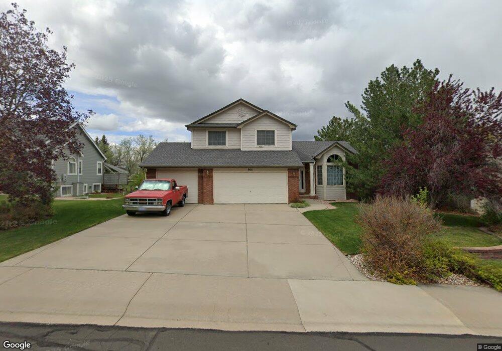
906 Benson Ln Fort Collins, CO 80525
Provincetowne NeighborhoodEstimated Value: $665,000 - $691,000
3
Beds
3
Baths
2,242
Sq Ft
$303/Sq Ft
Est. Value
About This Home
This home is located at 906 Benson Ln, Fort Collins, CO 80525 and is currently estimated at $678,410, approximately $302 per square foot. 906 Benson Ln is a home located in Larimer County with nearby schools including Cottonwood Plains Elementary School, Lucile Erwin Middle School, and Loveland High School.
Ownership History
Date
Name
Owned For
Owner Type
Purchase Details
Closed on
Nov 29, 1996
Sold by
Stonybrook Homes Inc
Bought by
Velasquez John Marcus
Current Estimated Value
Home Financials for this Owner
Home Financials are based on the most recent Mortgage that was taken out on this home.
Original Mortgage
$160,000
Outstanding Balance
$16,558
Interest Rate
7.9%
Estimated Equity
$661,852
Purchase Details
Closed on
Apr 1, 1996
Sold by
Cdl Partnership
Bought by
Stonybrook Homes Inc
Purchase Details
Closed on
Sep 1, 1995
Sold by
P & B Partnership
Bought by
Cdl Partnership
Purchase Details
Closed on
Apr 1, 1995
Sold by
Edgemont Inc
Bought by
P & B Partnership
Create a Home Valuation Report for This Property
The Home Valuation Report is an in-depth analysis detailing your home's value as well as a comparison with similar homes in the area
Home Values in the Area
Average Home Value in this Area
Purchase History
| Date | Buyer | Sale Price | Title Company |
|---|---|---|---|
| Velasquez John Marcus | $202,283 | -- | |
| Stonybrook Homes Inc | $122,000 | -- | |
| Cdl Partnership | -- | -- | |
| P & B Partnership | $1,175,000 | -- |
Source: Public Records
Mortgage History
| Date | Status | Borrower | Loan Amount |
|---|---|---|---|
| Open | Velasquez John Marcus | $160,000 |
Source: Public Records
Tax History Compared to Growth
Tax History
| Year | Tax Paid | Tax Assessment Tax Assessment Total Assessment is a certain percentage of the fair market value that is determined by local assessors to be the total taxable value of land and additions on the property. | Land | Improvement |
|---|---|---|---|---|
| 2025 | $3,582 | $45,714 | $11,390 | $34,324 |
| 2024 | $3,465 | $45,714 | $11,390 | $34,324 |
| 2022 | $2,885 | $33,889 | $4,518 | $29,371 |
| 2021 | $2,968 | $34,864 | $4,648 | $30,216 |
| 2020 | $2,575 | $30,245 | $4,648 | $25,597 |
| 2019 | $2,534 | $30,245 | $4,648 | $25,597 |
| 2018 | $2,437 | $27,720 | $4,680 | $23,040 |
| 2017 | $2,121 | $27,720 | $4,680 | $23,040 |
| 2016 | $2,306 | $29,189 | $5,174 | $24,015 |
| 2015 | $2,288 | $30,810 | $5,170 | $25,640 |
| 2014 | $2,049 | $25,350 | $5,170 | $20,180 |
Source: Public Records
Map
Nearby Homes
- 900 Somerly Ln
- 6827 Autumn Ridge Dr Unit 1
- 6815 Antigua Dr Unit 78
- 6803 Antigua Dr Unit 72
- 6721 Antigua Dr Unit 57
- 6703 Antigua Dr Unit 44
- 0 Antigua Dr
- 708 Crown Ridge Ln
- 6603 Autumn Ridge Dr Unit 2
- 6702 Antigua Dr Unit 49
- 6908 Autumn Ridge Dr
- 7114 Brittany Dr
- 6401 Finch Ct
- 6400 Finch Ct
- 7145 Brittany Dr
- 1125 Canvasback Dr
- 7151 Shadow Ridge Dr
- 505 Coyote Trail Dr
- 810 Crooked Creek Way
- 365 Stoney Brook Rd
- 912 Benson Ln
- 900 Benson Ln
- 907 Battsford Cir
- 901 Battsford Cir
- 913 Battsford Cir
- 907 Benson Ln
- 913 Benson Ln
- 901 Benson Ln
- 919 Battsford Cir
- 924 Benson Ln
- 919 Benson Ln
- 6757 Brittany Dr
- 6763 Brittany Dr
- 6751 Brittany Dr
- 6745 Brittany Dr
- 925 Battsford Cir
- 6739 Brittany Dr
- 6803 Brittany Dr
- 906 Battsford Cir
- 930 Benson Ln