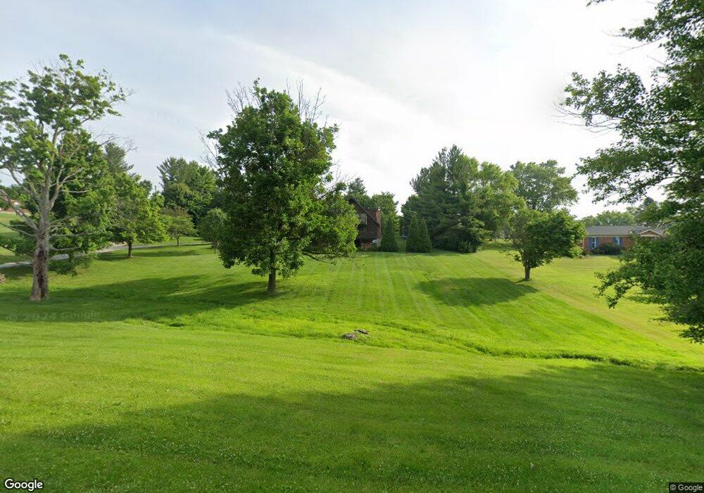
906 Hogreffe Rd Independence, KY 41051
Estimated Value: $308,274 - $413,000
3
Beds
2
Baths
2,738
Sq Ft
$131/Sq Ft
Est. Value
About This Home
This home is located at 906 Hogreffe Rd, Independence, KY 41051 and is currently estimated at $357,319, approximately $130 per square foot. 906 Hogreffe Rd is a home located in Kenton County with nearby schools including Beechgrove Elementary School, Twenhofel Middle School, and Simon Kenton High School.
Ownership History
Date
Name
Owned For
Owner Type
Purchase Details
Closed on
Mar 20, 2023
Sold by
Derks Diane L and Derks John R
Bought by
Derks Family Revocable Living Trust
Current Estimated Value
Purchase Details
Closed on
Mar 3, 2011
Sold by
Derks John R and Derks Diane L
Bought by
Derks Diane L
Create a Home Valuation Report for This Property
The Home Valuation Report is an in-depth analysis detailing your home's value as well as a comparison with similar homes in the area
Home Values in the Area
Average Home Value in this Area
Purchase History
| Date | Buyer | Sale Price | Title Company |
|---|---|---|---|
| Derks Family Revocable Living Trust | -- | None Listed On Document | |
| Derks Family Revocable Living Trust | -- | None Listed On Document | |
| Derks Diane L | -- | Bridgetrust Title Group |
Source: Public Records
Tax History Compared to Growth
Tax History
| Year | Tax Paid | Tax Assessment Tax Assessment Total Assessment is a certain percentage of the fair market value that is determined by local assessors to be the total taxable value of land and additions on the property. | Land | Improvement |
|---|---|---|---|---|
| 2024 | $1,583 | $129,200 | $25,000 | $104,200 |
| 2023 | $1,631 | $129,200 | $25,000 | $104,200 |
| 2022 | $1,696 | $129,200 | $25,000 | $104,200 |
| 2021 | $1,720 | $129,200 | $25,000 | $104,200 |
| 2020 | $1,506 | $110,000 | $20,000 | $90,000 |
| 2019 | $1,510 | $110,000 | $20,000 | $90,000 |
| 2018 | $1,518 | $110,000 | $20,000 | $90,000 |
| 2017 | $1,477 | $110,000 | $20,000 | $90,000 |
| 2015 | $1,430 | $110,000 | $25,000 | $85,000 |
| 2014 | $1,410 | $110,000 | $25,000 | $85,000 |
Source: Public Records
Map
Nearby Homes
- 570 Old Bristow Rd
- 1095 Audas Ct
- 10690 Melbury Ct Unit 305GL
- 10694 Melbury Ct Unit 306GL
- The Westchester Plan at The Greens of Glenhurst
- The Ella Marie Plan at The Greens of Glenhurst
- The Jefferson Plan at The Greens of Glenhurst
- The Leighann Plan at The Greens of Glenhurst
- The Waterson Plan at The Greens of Glenhurst
- The Lancaster Plan at The Greens of Glenhurst
- The Austin Plan at The Greens of Glenhurst
- The Morgan Plan at The Greens of Glenhurst
- The Marietta Plan at The Greens of Glenhurst
- The Camden Plan at The Greens of Glenhurst
- The Lincoln Plan at The Greens of Glenhurst
- The Bristol Plan at The Greens of Glenhurst
- The Livingston Plan at The Greens of Glenhurst
- The Madison Plan at The Greens of Glenhurst
- The Verona Plan at The Greens of Glenhurst
- The Courtney Plan at The Greens of Glenhurst
- 930 Hogreffe Rd
- 940 Hogrefe Rd
- 888 Hogreffe Rd
- 898 Hogrefe Rd
- 899 Hogrefe Rd
- 899 Hogrefe Rd
- 915 Hogreffe Rd
- 950 Hogreffe Rd
- 960 Hogreffe Rd
- 902 Hogrefe Rd
- 902 Hogreffe Rd
- 931 Hogrefe Rd
- 651 Bristow Rd
- 961 Hogrefe Rd
- 10205 Chestnut Oak Dr
- 10209 Chestnut Oak Dr
- 647 Bristow Rd
- 10201 Chestnut Oak Dr
- 649 Bristow Rd
- 10213 Chestnut Oak Dr