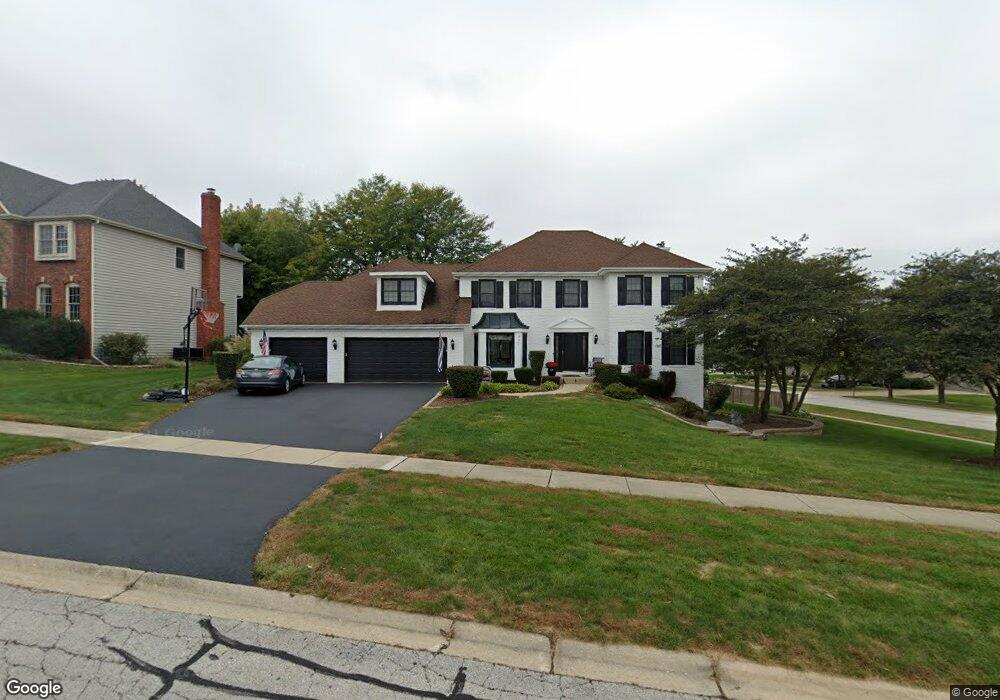
907 Lund Ln Batavia, IL 60510
Southeast Batavia NeighborhoodEstimated Value: $570,702 - $695,000
4
Beds
3
Baths
2,930
Sq Ft
$210/Sq Ft
Est. Value
About This Home
This home is located at 907 Lund Ln, Batavia, IL 60510 and is currently estimated at $614,926, approximately $209 per square foot. 907 Lund Ln is a home located in Kane County with nearby schools including J B Nelson Elementary School, Sam Rotolo Middle School, and Batavia Sr High School.
Ownership History
Date
Name
Owned For
Owner Type
Purchase Details
Closed on
May 24, 2006
Sold by
Pech Arthur R and Pech Carolyn J
Bought by
Darre William and Darre Kelley N
Current Estimated Value
Home Financials for this Owner
Home Financials are based on the most recent Mortgage that was taken out on this home.
Original Mortgage
$270,000
Outstanding Balance
$158,332
Interest Rate
6.62%
Mortgage Type
Fannie Mae Freddie Mac
Estimated Equity
$456,594
Create a Home Valuation Report for This Property
The Home Valuation Report is an in-depth analysis detailing your home's value as well as a comparison with similar homes in the area
Home Values in the Area
Average Home Value in this Area
Purchase History
| Date | Buyer | Sale Price | Title Company |
|---|---|---|---|
| Darre William | $430,000 | First American Title |
Source: Public Records
Mortgage History
| Date | Status | Borrower | Loan Amount |
|---|---|---|---|
| Open | Darre William | $270,000 |
Source: Public Records
Tax History
| Year | Tax Paid | Tax Assessment Tax Assessment Total Assessment is a certain percentage of the fair market value that is determined by local assessors to be the total taxable value of land and additions on the property. | Land | Improvement |
|---|---|---|---|---|
| 2024 | $13,708 | $181,372 | $17,229 | $164,143 |
| 2023 | $13,439 | $164,614 | $15,637 | $148,977 |
| 2022 | $12,118 | $144,779 | $12,178 | $132,601 |
| 2021 | $11,640 | $137,310 | $11,550 | $125,760 |
| 2020 | $12,408 | $146,601 | $11,328 | $135,273 |
| 2019 | $12,212 | $141,411 | $10,927 | $130,484 |
| 2018 | $11,732 | $136,025 | $10,511 | $125,514 |
| 2017 | $11,453 | $131,539 | $10,164 | $121,375 |
| 2016 | $11,214 | $127,708 | $9,868 | $117,840 |
| 2015 | -- | $124,800 | $9,643 | $115,157 |
| 2014 | -- | $120,871 | $9,339 | $111,532 |
| 2013 | -- | $118,513 | $9,157 | $109,356 |
Source: Public Records
Map
Nearby Homes
- 694 Hart Rd
- 1136 Pine Ct
- Lot 4 Manchester Ave
- 304 S Prairie St
- 414 Cleveland Ave
- 860 S River St
- 1206 Beckman Ln
- Lot 1 Center St
- 570 Violet Ln
- 121 S Raddant Rd
- 637 E Wilson St
- 1025 E Wilson St
- 1402 Cherry Dr
- 404 S Batavia Ave
- 527 Ridgelawn Trail
- 1705 South Ct
- 417 N Van Buren St
- 524 N College St
- 1816 Burnell Ct
- 330 First St
- 720 Young Ave
- 927 Lund Ln
- 935 Lund Ln Unit 1
- 710 Young Ave Unit 1
- 906 Lund Ln
- 821 Lund Ln
- 916 Lund Ln Unit 1
- 820 Lund Ln
- 914 Jennifer Dr
- 711 Young Ave Unit 1
- 926 Lund Ln
- 721 Young Ave Unit 1
- 945 Lund Ln
- 924 Jennifer Dr Unit 1
- 701 Young Ave
- 801 Lund Ln
- 936 Lund Ln
- 800 Lund Ln
- 925 Hodge Ln
- 917 Hodge Ln
Your Personal Tour Guide
Ask me questions while you tour the home.