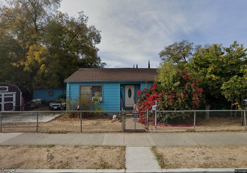
907 S Airport Way Stockton, CA 95205
East Stockton NeighborhoodEstimated Value: $235,000 - $334,185
2
Beds
1
Bath
882
Sq Ft
$337/Sq Ft
Est. Value
About This Home
This home is located at 907 S Airport Way, Stockton, CA 95205 and is currently estimated at $297,546, approximately $337 per square foot. 907 S Airport Way is a home located in San Joaquin County with nearby schools including John C. Fremont Elementary School, King Elementary School, and Roosevelt Elementary School.
Ownership History
Date
Name
Owned For
Owner Type
Purchase Details
Closed on
Mar 20, 2006
Sold by
Chambers Carl
Bought by
Zaragoza Peter and Zaragoza Juanita
Current Estimated Value
Home Financials for this Owner
Home Financials are based on the most recent Mortgage that was taken out on this home.
Original Mortgage
$172,500
Outstanding Balance
$97,950
Interest Rate
6.25%
Mortgage Type
New Conventional
Estimated Equity
$199,596
Purchase Details
Closed on
Dec 8, 2003
Sold by
Bustos Molly and Julian Mayorga Godina Revocabl
Bought by
Chambers Carl
Home Financials for this Owner
Home Financials are based on the most recent Mortgage that was taken out on this home.
Original Mortgage
$120,000
Interest Rate
6.72%
Mortgage Type
Purchase Money Mortgage
Purchase Details
Closed on
Dec 20, 1996
Sold by
Julian Godina
Bought by
Julian Mayorga Godina Revocable Living T
Create a Home Valuation Report for This Property
The Home Valuation Report is an in-depth analysis detailing your home's value as well as a comparison with similar homes in the area
Home Values in the Area
Average Home Value in this Area
Purchase History
| Date | Buyer | Sale Price | Title Company |
|---|---|---|---|
| Zaragoza Peter | $225,000 | Fidelity National Title Co | |
| Chambers Carl | $150,000 | Fidelity Natl Title Ins Co | |
| Julian Mayorga Godina Revocable Living T | -- | -- |
Source: Public Records
Mortgage History
| Date | Status | Borrower | Loan Amount |
|---|---|---|---|
| Open | Zaragoza Peter | $172,500 | |
| Previous Owner | Chambers Carl | $120,000 | |
| Closed | Chambers Carl | $30,000 |
Source: Public Records
Tax History Compared to Growth
Tax History
| Year | Tax Paid | Tax Assessment Tax Assessment Total Assessment is a certain percentage of the fair market value that is determined by local assessors to be the total taxable value of land and additions on the property. | Land | Improvement |
|---|---|---|---|---|
| 2025 | $3,736 | $307,460 | $122,984 | $184,476 |
| 2024 | $3,676 | $301,432 | $120,573 | $180,859 |
| 2023 | $3,591 | $295,522 | $118,209 | $177,313 |
| 2022 | $3,515 | $289,729 | $115,892 | $173,837 |
| 2021 | $2,644 | $223,500 | $50,000 | $173,500 |
| 2020 | $2,095 | $173,000 | $50,000 | $123,000 |
| 2019 | $2,128 | $173,000 | $50,000 | $123,000 |
| 2018 | $1,623 | $133,000 | $50,000 | $83,000 |
| 2017 | $1,274 | $109,000 | $44,000 | $65,000 |
| 2016 | $1,081 | $90,000 | $36,000 | $54,000 |
| 2014 | $740 | $64,000 | $19,000 | $45,000 |
Source: Public Records
Map
Nearby Homes
- 835 S Airport Way
- 832 S Pilgrim St
- 1636 E Anderson St
- 921 S Aurora St
- 336 S Airport Way
- 1145 S Grant St
- 1224 E Lafayette St
- 609 E Jefferson St
- 709 E Sonora St
- 1120 S California St
- 1816 E Sonora St
- 446 E Anderson St
- 711 Oso St
- 647 E 1st St
- 739 E 2nd St
- 525 S California St
- 1211 E Main St
- 1444 S California St
- 1125 S Sutter St
- 320 E Jefferson St
- 1238 E Worth St
- 1230 E Worth St
- 931 S Airport Way
- 845 S Airport Way
- 1222 E Worth St
- 1306 E Worth St
- 920 S Airport Way
- 1233 E Worth St
- 937 S Airport Way
- 1214 E Worth St
- 1233 E Anderson St
- 1309 E Worth St
- 1318 E Worth St
- 924 S Pilgrim St
- 932 S Airport Way
- 1229 E Worth St
- 928 S Airport Way
- 1227 E Anderson St
- 928 S Pilgrim St
- 827 S Airport Way