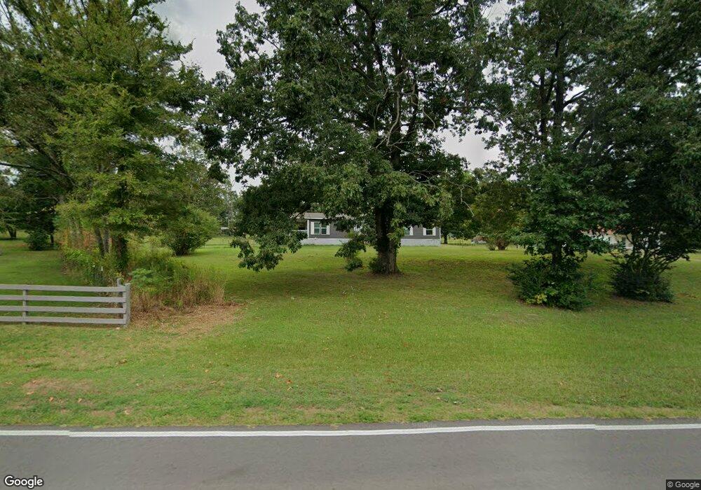
908 Sandy Ford Rd El Paso, AR 72045
Estimated Value: $91,378 - $168,000
Studio
--
Bath
462
Sq Ft
$285/Sq Ft
Est. Value
About This Home
This home is located at 908 Sandy Ford Rd, El Paso, AR 72045 and is currently estimated at $131,459, approximately $284 per square foot. 908 Sandy Ford Rd is a home with nearby schools including Beebe Elementary School, Beebe Junior High School, and Beebe Middle School.
Ownership History
Date
Name
Owned For
Owner Type
Purchase Details
Closed on
Feb 18, 2025
Sold by
Bryant Thomas A
Bought by
Lee Sarah
Current Estimated Value
Purchase Details
Closed on
Aug 22, 2023
Sold by
Bryant Dena L
Bought by
Bryant Thomas A
Purchase Details
Closed on
Aug 13, 2010
Sold by
Henson Melvin Keith and Henson Peggy Sue
Bought by
Bryant Thomas A and Bryant Dena L
Purchase Details
Closed on
Dec 13, 1996
Bought by
Henson Melvin and Henson Peggy
Purchase Details
Closed on
Jul 12, 1996
Bought by
Secretary Of Veterans Affairs
Purchase Details
Closed on
May 1, 1994
Bought by
Jaczynski Michael J
Create a Home Valuation Report for This Property
The Home Valuation Report is an in-depth analysis detailing your home's value as well as a comparison with similar homes in the area
Purchase History
| Date | Buyer | Sale Price | Title Company |
|---|---|---|---|
| Lee Sarah | -- | None Listed On Document | |
| Lee Sarah | -- | None Listed On Document | |
| Bryant Thomas A | -- | None Listed On Document | |
| Bryant Thomas A | -- | None Listed On Document | |
| Bryant Thomas A | $17,000 | -- | |
| Henson Melvin | -- | -- | |
| Secretary Of Veterans Affairs | -- | -- | |
| Jaczynski Michael J | $75,000 | -- |
Source: Public Records
Tax History
| Year | Tax Paid | Tax Assessment Tax Assessment Total Assessment is a certain percentage of the fair market value that is determined by local assessors to be the total taxable value of land and additions on the property. | Land | Improvement |
|---|---|---|---|---|
| 2025 | $309 | $14,870 | $7,730 | $7,140 |
| 2024 | $296 | $14,870 | $7,730 | $7,140 |
| 2023 | $50 | $14,870 | $7,730 | $7,140 |
| 2022 | $50 | $14,870 | $7,730 | $7,140 |
| 2021 | $50 | $14,870 | $7,730 | $7,140 |
| 2020 | $50 | $10,470 | $3,540 | $6,930 |
| 2019 | $50 | $10,470 | $3,540 | $6,930 |
| 2018 | $228 | $10,470 | $3,540 | $6,930 |
| 2017 | $208 | $10,470 | $3,540 | $6,930 |
| 2016 | $208 | $5,120 | $3,540 | $1,580 |
| 2015 | $199 | $4,880 | $2,640 | $2,240 |
| 2014 | $199 | $4,880 | $2,640 | $2,240 |
Source: Public Records
Map
Nearby Homes
- Lot 28 Cameron Hill Rd
- Lot 34 Wes Moore Rd
- Lot 23 Wes Moore Rd
- Lot 21 Wes Moore Rd
- 272 Bill Hill Rd
- 00 Brock Rd
- 215 Brock Rd
- 242 Bill Hill Rd
- 214 Noah Ln
- 1088 U S 64
- 967 U S 64
- 141 Archer Rd
- 000 R V Powell Rd
- 654 Red Hill Rd
- 101 John Smith Rd
- 1275 U S 64
- 1279 U S 64
- 256 Vernon Harvey Rd
- Lot 16 & 17 Autumn Ln
- 000 Gillham Rd
- 906 Sandy Ford Rd
- 912 Sandy Ford Rd
- 904 Sandy Ford Rd
- 850 Sandy Ford Rd
- 810 Sandy Ford Rd
- 848 Sandy Ford Rd
- 962 Sandy Ford Rd
- 920 Sandy Ford Rd
- 952 Sandy Ford Rd
- 919 Sandy Ford Rd
- 915 Sandy Ford Rd
- 000 Sandy Ford Rd
- XXX Turkey Mountain Rd
- 1011 Sandy Ford Rd
- 723 Sandy Ford Rd Unit 719
- 735 Sandy Ford Rd
- 147 Turkey Mountain Rd
- 135 Turkey Mountain Rd
- 736 Sandy Ford Rd
- 760 Sandy Ford Rd
Your Personal Tour Guide
Ask me questions while you tour the home.