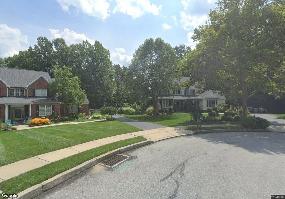
909 George Pitt Dr Downingtown, PA 19335
East Caln NeighborhoodEstimated Value: $832,000 - $905,000
4
Beds
4
Baths
3,140
Sq Ft
$280/Sq Ft
Est. Value
About This Home
This home is located at 909 George Pitt Dr, Downingtown, PA 19335 and is currently estimated at $878,920, approximately $279 per square foot. 909 George Pitt Dr is a home located in Chester County with nearby schools including East Ward Elementary School, Downingtown Middle School, and Downingtown High School West.
Ownership History
Date
Name
Owned For
Owner Type
Purchase Details
Closed on
Jun 13, 2008
Sold by
Morgan Kevin and Morgan Elizabeth
Bought by
Goss Michael G and Goss Margaret E
Current Estimated Value
Home Financials for this Owner
Home Financials are based on the most recent Mortgage that was taken out on this home.
Original Mortgage
$417,000
Outstanding Balance
$269,224
Interest Rate
6.17%
Mortgage Type
Purchase Money Mortgage
Estimated Equity
$609,696
Purchase Details
Closed on
Dec 8, 2004
Sold by
Dosser Brian C and Dosser Karen C
Bought by
Wagner Paul C and Wagner Donna
Home Financials for this Owner
Home Financials are based on the most recent Mortgage that was taken out on this home.
Original Mortgage
$368,800
Interest Rate
5.74%
Mortgage Type
Purchase Money Mortgage
Create a Home Valuation Report for This Property
The Home Valuation Report is an in-depth analysis detailing your home's value as well as a comparison with similar homes in the area
Home Values in the Area
Average Home Value in this Area
Purchase History
| Date | Buyer | Sale Price | Title Company |
|---|---|---|---|
| Goss Michael G | $542,400 | None Available | |
| Wagner Paul C | $461,000 | -- |
Source: Public Records
Mortgage History
| Date | Status | Borrower | Loan Amount |
|---|---|---|---|
| Open | Goss Michael G | $417,000 | |
| Previous Owner | Wagner Paul C | $368,800 |
Source: Public Records
Tax History Compared to Growth
Tax History
| Year | Tax Paid | Tax Assessment Tax Assessment Total Assessment is a certain percentage of the fair market value that is determined by local assessors to be the total taxable value of land and additions on the property. | Land | Improvement |
|---|---|---|---|---|
| 2025 | $10,088 | $285,300 | $58,550 | $226,750 |
| 2024 | $10,088 | $285,300 | $58,550 | $226,750 |
| 2023 | $9,803 | $285,300 | $58,550 | $226,750 |
| 2022 | $357 | $285,300 | $58,550 | $226,750 |
| 2021 | $9,410 | $285,300 | $58,550 | $226,750 |
| 2020 | $9,358 | $285,300 | $58,550 | $226,750 |
| 2019 | $9,358 | $285,300 | $58,550 | $226,750 |
| 2018 | $9,358 | $285,300 | $58,550 | $226,750 |
| 2017 | $8,686 | $264,810 | $58,550 | $206,260 |
| 2016 | $7,924 | $264,810 | $58,550 | $206,260 |
| 2015 | $7,924 | $264,810 | $58,550 | $206,260 |
| 2014 | $7,924 | $264,810 | $58,550 | $206,260 |
Source: Public Records
Map
Nearby Homes
- 200 Campbell Cir Unit E6
- 200 Campbell Cir Unit E13
- 300 Winding Way Unit B16
- 214 Armstead Ct
- 1541 Dowlin Forge Rd
- 514 E Lancaster Ave
- 60 Hilltop Dr
- 335 E Lancaster Ave Unit E-5
- 430 Jefferson Ave
- 8 Clayton Ln
- 206 Race St
- 298 Jefferson Ave Unit 12
- 1455 N Red Maple Way Unit 89
- 316 Lincoln Ave
- 29 N Tompkins Square
- 317 William Taft Ave
- 213 Seven Springs Ln
- 223 W Pennsylvania Ave
- 1301 S Red Maple Way
- 334 Mary St
- 908 George Pitt Dr
- 907 George Pitt Dr
- 335 Norwood Rd
- 906 George Pitt Dr
- 905 George Pitt Dr
- 903 George Pitt Dr
- 904 George Pitt Dr
- 902 George Pitt Dr
- 337 Norwood Rd
- 901 George Pitt Dr
- 956 Burdette Dr
- 333 Norwood Rd
- 958 Burdette Dr
- 331 Norwood Rd
- 900 George Pitt Dr
- 960 Burdette Dr
- 952 Burdette Dr
- 962 Burdette Dr
- 965 Burdette Dr
- 964 Burdette Dr