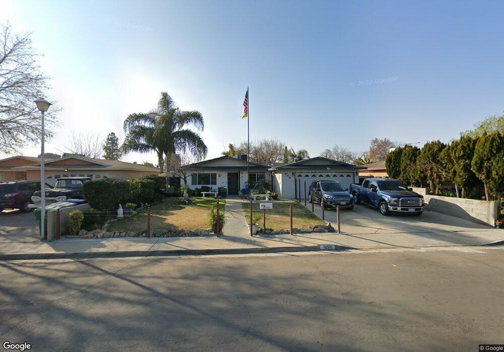
909 Nixon Way Bakersfield, CA 93308
Estimated Value: $256,000 - $288,000
3
Beds
2
Baths
1,406
Sq Ft
$192/Sq Ft
Est. Value
About This Home
This home is located at 909 Nixon Way, Bakersfield, CA 93308 and is currently estimated at $269,772, approximately $191 per square foot. 909 Nixon Way is a home located in Kern County with nearby schools including North Beardsley Elementary School, Beardsley Junior High School, and North High School.
Ownership History
Date
Name
Owned For
Owner Type
Purchase Details
Closed on
Mar 15, 2003
Sold by
Bush Kimberly and Johnson Kimberly E
Bought by
Bush Michael and Bush Kimberly
Current Estimated Value
Home Financials for this Owner
Home Financials are based on the most recent Mortgage that was taken out on this home.
Original Mortgage
$73,512
Interest Rate
5.79%
Mortgage Type
FHA
Purchase Details
Closed on
Oct 24, 2002
Sold by
Johnson Melvin B
Bought by
Bush Kimberly E and Johnson Kimberly E
Create a Home Valuation Report for This Property
The Home Valuation Report is an in-depth analysis detailing your home's value as well as a comparison with similar homes in the area
Home Values in the Area
Average Home Value in this Area
Purchase History
| Date | Buyer | Sale Price | Title Company |
|---|---|---|---|
| Bush Michael | -- | Chicago Title | |
| Bush Kimberly E | -- | Chicago Title |
Source: Public Records
Mortgage History
| Date | Status | Borrower | Loan Amount |
|---|---|---|---|
| Closed | Bush Michael | $73,512 |
Source: Public Records
Tax History Compared to Growth
Tax History
| Year | Tax Paid | Tax Assessment Tax Assessment Total Assessment is a certain percentage of the fair market value that is determined by local assessors to be the total taxable value of land and additions on the property. | Land | Improvement |
|---|---|---|---|---|
| 2025 | $2,629 | $141,249 | $30,041 | $111,208 |
| 2024 | $2,562 | $138,480 | $29,452 | $109,028 |
| 2023 | $2,562 | $135,766 | $28,875 | $106,891 |
| 2022 | $2,468 | $133,105 | $28,309 | $104,796 |
| 2021 | $2,377 | $130,496 | $27,754 | $102,742 |
| 2020 | $2,299 | $129,159 | $27,470 | $101,689 |
| 2019 | $2,277 | $129,159 | $27,470 | $101,689 |
| 2018 | $2,205 | $124,146 | $26,404 | $97,742 |
| 2017 | $2,167 | $121,713 | $25,887 | $95,826 |
| 2016 | $2,047 | $119,328 | $25,380 | $93,948 |
| 2015 | $1,994 | $117,536 | $24,999 | $92,537 |
| 2014 | $1,866 | $108,000 | $27,000 | $81,000 |
Source: Public Records
Map
Nearby Homes
- 1100 Woodrow Ave
- 1119 Wilson Ave
- 1101 Wilson Ave
- 1212 Woodrow Ave
- 1219 Woodrow Ave
- 1000 Olive Dr Unit 4
- 1000 Olive Dr Unit 1
- 1000 Olive Dr Unit 9
- 1104 El Tejon Ave
- 1001 Wilson Ave
- 1003 El Tejon Ave
- 0 Castaic Ave
- 1104 Castaic Ave
- 709 Rutherford Ct
- 604 Teakwood Dr
- 1239 El Tejon Ave
- 1000 Redwood Dr
- 1319 Wilson Ave
- 818 Decatur St
- 1320 Washington Ave
- 905 Nixon Way
- 913 Nixon Way
- 1111 Washington Ave
- 808 Buchanan Ct
- 901 Nixon Way
- 1115 Washington Ave
- 908 Nixon Way
- 904 Nixon Way
- 814 Buchanan Ct
- 804 Buchanan Ct
- 912 Nixon Way
- 900 Nixon Way
- 1119 Washington Ave
- 1106 Washington Ave
- 1110 Washington Ave
- 916 Nixon Way
- 1102 Washington Ave
- 1114 Washington Ave
- 1100 Washington Ave
- 1123 Washington Ave