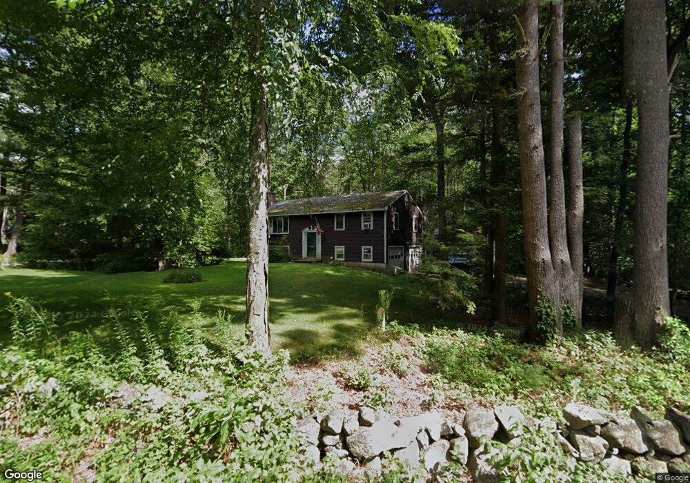
91 Grant Rd Newmarket, NH 03857
Estimated Value: $450,000 - $610,000
2
Beds
2
Baths
1,144
Sq Ft
$456/Sq Ft
Est. Value
About This Home
This home is located at 91 Grant Rd, Newmarket, NH 03857 and is currently estimated at $522,083, approximately $456 per square foot. 91 Grant Rd is a home located in Rockingham County with nearby schools including Newmarket Elementary School, Newmarket Junior High School, and Newmarket Senior High School.
Ownership History
Date
Name
Owned For
Owner Type
Purchase Details
Closed on
Jun 7, 1996
Sold by
Carlson Russell E and Carlson Darnell L
Bought by
Jordan Robert E
Current Estimated Value
Home Financials for this Owner
Home Financials are based on the most recent Mortgage that was taken out on this home.
Original Mortgage
$97,444
Outstanding Balance
$6,164
Interest Rate
7.89%
Estimated Equity
$515,919
Create a Home Valuation Report for This Property
The Home Valuation Report is an in-depth analysis detailing your home's value as well as a comparison with similar homes in the area
Home Values in the Area
Average Home Value in this Area
Purchase History
| Date | Buyer | Sale Price | Title Company |
|---|---|---|---|
| Jordan Robert E | $97,500 | -- |
Source: Public Records
Mortgage History
| Date | Status | Borrower | Loan Amount |
|---|---|---|---|
| Open | Jordan Robert E | $25,000 | |
| Open | Jordan Robert E | $97,444 |
Source: Public Records
Tax History Compared to Growth
Tax History
| Year | Tax Paid | Tax Assessment Tax Assessment Total Assessment is a certain percentage of the fair market value that is determined by local assessors to be the total taxable value of land and additions on the property. | Land | Improvement |
|---|---|---|---|---|
| 2024 | $7,558 | $439,400 | $233,900 | $205,500 |
| 2023 | $7,653 | $259,500 | $122,000 | $137,500 |
| 2022 | $7,152 | $265,000 | $122,000 | $143,000 |
| 2021 | $6,862 | $260,300 | $122,000 | $138,300 |
| 2020 | $6,627 | $260,300 | $122,000 | $138,300 |
| 2019 | $6,315 | $260,300 | $122,000 | $138,300 |
| 2018 | $4,303 | $198,000 | $74,400 | $123,600 |
| 2017 | $4,300 | $198,000 | $74,400 | $123,600 |
| 2016 | $4,253 | $198,000 | $74,400 | $123,600 |
| 2015 | $4,942 | $198,000 | $74,400 | $123,600 |
| 2014 | $5,091 | $197,700 | $74,400 | $123,300 |
| 2013 | $5,435 | $222,200 | $75,800 | $146,400 |
| 2012 | $5,259 | $222,200 | $75,800 | $146,400 |
Source: Public Records
Map
Nearby Homes
- 10 Merrill Ln
- 230 Ash Swamp Rd
- 411 Ash Swamp Rd
- 141 Hersey Ln
- 12 Channing Way
- 29 Hamel Farm Dr
- 21 Briallia Cir
- 0 Pear Tree Ln Unit 10
- 0 Pear Tree Ln Unit 9
- 46 Ledgeview Dr
- 16 Bennett Way
- 17 Bennett Way
- 33 Folsom Dr
- 1 Lee Hook Rd
- 30 Honeycomb Way
- 120 Old Lee Rd
- 90 Colgate Rd
- 15 Kelsey Dr
- 0 Rear Wadleigh Falls Rd Unit 9
- 73 Princeton St