91 Hoyt Ln Wapato, WA 98951
Estimated Value: $223,000 - $242,272
1
Bed
1
Bath
768
Sq Ft
$304/Sq Ft
Est. Value
About This Home
This home is located at 91 Hoyt Ln, Wapato, WA 98951 and is currently estimated at $233,318, approximately $303 per square foot. 91 Hoyt Ln is a home with nearby schools including Camas Elementary School, Adams Elementary School, and Satus Elementary School.
Ownership History
Date
Name
Owned For
Owner Type
Purchase Details
Closed on
Aug 8, 2024
Sold by
Hernandez Alicia G and Hernandez Nestor N
Bought by
Hernandez Nestor N
Current Estimated Value
Home Financials for this Owner
Home Financials are based on the most recent Mortgage that was taken out on this home.
Original Mortgage
$135,000
Outstanding Balance
$133,469
Interest Rate
6.86%
Mortgage Type
New Conventional
Estimated Equity
$99,849
Purchase Details
Closed on
Jun 6, 2024
Sold by
Avaloz Rafaela and Reyes Maria Dejesus
Bought by
Buenrostro Yolan H
Purchase Details
Closed on
Oct 14, 2022
Sold by
Buenrostro Yolanda R
Bought by
Nestor Homes Llc
Create a Home Valuation Report for This Property
The Home Valuation Report is an in-depth analysis detailing your home's value as well as a comparison with similar homes in the area
Home Values in the Area
Average Home Value in this Area
Purchase History
| Date | Buyer | Sale Price | Title Company |
|---|---|---|---|
| Hernandez Nestor N | $313 | Valley Title | |
| Hernandez Nestor N | $313 | Valley Title | |
| Buenrostro Yolan H | $313 | Valley Title | |
| Nestor Homes Llc | -- | Valley Title |
Source: Public Records
Mortgage History
| Date | Status | Borrower | Loan Amount |
|---|---|---|---|
| Open | Hernandez Nestor N | $135,000 |
Source: Public Records
Tax History Compared to Growth
Tax History
| Year | Tax Paid | Tax Assessment Tax Assessment Total Assessment is a certain percentage of the fair market value that is determined by local assessors to be the total taxable value of land and additions on the property. | Land | Improvement |
|---|---|---|---|---|
| 2025 | $1,965 | $196,400 | $32,700 | $163,700 |
| 2023 | $438 | $46,600 | $33,600 | $13,000 |
| 2022 | $468 | $43,800 | $32,700 | $11,100 |
| 2021 | $459 | $42,200 | $31,900 | $10,300 |
| 2019 | $508 | $44,300 | $28,900 | $15,400 |
| 2018 | $566 | $45,500 | $28,700 | $16,800 |
| 2017 | $480 | $40,800 | $28,700 | $12,100 |
| 2016 | $463 | $41,300 | $28,700 | $12,600 |
| 2015 | $463 | $40,200 | $28,700 | $11,500 |
| 2014 | $463 | $40,200 | $28,700 | $11,500 |
| 2013 | $463 | $40,200 | $28,700 | $11,500 |
Source: Public Records
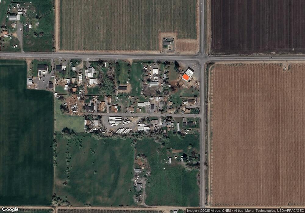
Map
Nearby Homes
- NKA McDonald Rd
- NKA Fort Rd
- NKA Campbell Rd
- NKA Knights Lane Campbell Rd
- 41 Washington St
- 0 McDonald Rd
- 91 W Pioneer St
- 91 Batali St
- 1423 Progressive Rd
- nka Lateral A Prgrssve Rd Rd
- NKA Branch Rd
- NKA Progressive Rd
- NNA Fort Rd Unit Fort Rd/Lateral B Rd
- 9950 Pumphouse Rd
- nka W Rd
- 703 S Naches Ave
- 300 E Martin Ln
- 604 W 4th St
- 100 Gordon Ln
- 2284 Ashue Rd