910 Andover St Unit Upper level Tewksbury, MA 01876
Estimated Value: $3,559,379
--
Bed
--
Bath
1,500
Sq Ft
$2,373/Sq Ft
Est. Value
About This Home
This home is located at 910 Andover St Unit Upper level, Tewksbury, MA 01876 and is currently estimated at $3,559,379, approximately $2,372 per square foot. 910 Andover St Unit Upper level is a home located in Middlesex County with nearby schools including Lowell Community Charter Public School and Immaculate Conception School.
Ownership History
Date
Name
Owned For
Owner Type
Purchase Details
Closed on
Jan 3, 2025
Sold by
Sullivan Ft and Sullivan
Bought by
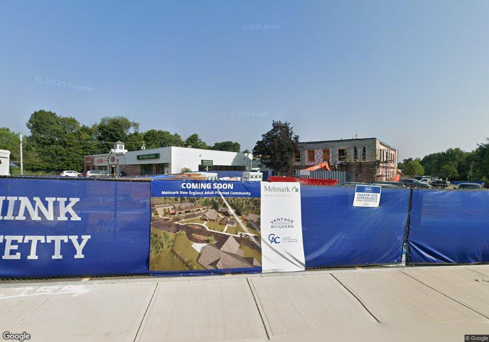
Melmark Inc
Current Estimated Value
Purchase Details
Closed on
Aug 5, 2014
Sold by
Sullivan Kevin C
Bought by
Sullivan Ft and Sullivan
Purchase Details
Closed on
Mar 1, 2013
Sold by
Sullivan Kevin C
Bought by
Sullivan Ft
Create a Home Valuation Report for This Property
The Home Valuation Report is an in-depth analysis detailing your home's value as well as a comparison with similar homes in the area
Home Values in the Area
Average Home Value in this Area
Purchase History
| Date | Buyer | Sale Price | Title Company |
|---|---|---|---|
| Melmark Inc | $3,300,000 | None Available | |
| Melmark Inc | $3,300,000 | None Available | |
| Melmark Inc | $3,300,000 | None Available | |
| John D Sullivan Ret | -- | None Available | |
| John D Sullivan Ret | -- | None Available | |
| Sullivan Ft | -- | -- | |
| Sullivan Ft | -- | -- | |
| Sullivan Ft | -- | -- | |
| Sullivan Ft | -- | -- | |
| Sullivan Ft | -- | -- | |
| Sullivan Ft | -- | -- |
Source: Public Records
Mortgage History
| Date | Status | Borrower | Loan Amount |
|---|---|---|---|
| Previous Owner | Sullivan Ft | $98,000 |
Source: Public Records
Tax History Compared to Growth
Tax History
| Year | Tax Paid | Tax Assessment Tax Assessment Total Assessment is a certain percentage of the fair market value that is determined by local assessors to be the total taxable value of land and additions on the property. | Land | Improvement |
|---|---|---|---|---|
| 2025 | $0 | $2,565,100 | $679,900 | $1,885,200 |
| 2024 | $0 | $2,543,700 | $647,500 | $1,896,200 |
| 2023 | $64,989 | $2,408,000 | $589,100 | $1,818,900 |
| 2022 | $0 | $2,349,900 | $589,100 | $1,760,800 |
| 2021 | $65,869 | $2,351,300 | $589,100 | $1,762,200 |
| 2020 | $65,876 | $2,352,700 | $589,100 | $1,763,600 |
| 2019 | $63,582 | $2,301,200 | $589,100 | $1,712,100 |
| 2018 | $63,225 | $2,279,200 | $589,100 | $1,690,100 |
| 2017 | $64,242 | $2,309,200 | $589,100 | $1,720,100 |
| 2016 | $63,449 | $2,310,600 | $589,100 | $1,721,500 |
| 2015 | $63,857 | $2,312,000 | $589,100 | $1,722,900 |
| 2014 | $62,695 | $2,353,400 | $589,100 | $1,764,300 |
Source: Public Records
Map
Nearby Homes
- 11 Merrimack Meadows Ln Unit 17
- 16 Wetherbee Ave
- 110 Longmeadow Dr
- 78 Merrimack Meadows Ln Unit 78
- 173 Merrimack Meadows Ln Unit 162
- 45 Clark Rd
- 9 Cobleigh Dr
- 251 Clark Rd
- 16 Winding Ln
- 15 Sharyn Cir
- 288 Hovey St
- 111 Draper St
- 70 Enfield St
- 26 Luce St
- 45 Luce St
- 4 Glenmere St
- 100 Merrimack Ave Unit 50
- 100 Merrimack Ave Unit 91
- 164 Bradley St
- 820 Methuen St Unit 820