910 Eagle Crest Ridge Rd Billings, MT 59106
Estimated Value: $609,000 - $726,000
3
Beds
3
Baths
2,720
Sq Ft
$238/Sq Ft
Est. Value
About This Home
This home is located at 910 Eagle Crest Ridge Rd, Billings, MT 59106 and is currently estimated at $648,536, approximately $238 per square foot. 910 Eagle Crest Ridge Rd is a home located in Yellowstone County with nearby schools including Elder Grove Elementary School, Billings West High School, and Yellowstone Academy.
Ownership History
Date
Name
Owned For
Owner Type
Purchase Details
Closed on
Oct 3, 2013
Sold by
Horton Winton J and Horton Donna M
Bought by
Duray Christa L
Current Estimated Value
Home Financials for this Owner
Home Financials are based on the most recent Mortgage that was taken out on this home.
Original Mortgage
$256,500
Outstanding Balance
$193,263
Interest Rate
4.57%
Mortgage Type
New Conventional
Estimated Equity
$455,273
Create a Home Valuation Report for This Property
The Home Valuation Report is an in-depth analysis detailing your home's value as well as a comparison with similar homes in the area
Home Values in the Area
Average Home Value in this Area
Purchase History
| Date | Buyer | Sale Price | Title Company |
|---|---|---|---|
| Duray Christa L | -- | None Available |
Source: Public Records
Mortgage History
| Date | Status | Borrower | Loan Amount |
|---|---|---|---|
| Open | Duray Christa L | $256,500 |
Source: Public Records
Tax History Compared to Growth
Tax History
| Year | Tax Paid | Tax Assessment Tax Assessment Total Assessment is a certain percentage of the fair market value that is determined by local assessors to be the total taxable value of land and additions on the property. | Land | Improvement |
|---|---|---|---|---|
| 2025 | $3,701 | $538,700 | $108,439 | $430,261 |
| 2024 | $3,701 | $533,000 | $95,030 | $437,970 |
| 2023 | $3,729 | $533,000 | $95,030 | $437,970 |
| 2022 | $3,117 | $364,900 | $66,783 | $298,117 |
| 2021 | $3,117 | $364,900 | $0 | $0 |
| 2020 | $3,067 | $325,900 | $0 | $0 |
| 2019 | $2,999 | $325,900 | $0 | $0 |
| 2018 | $2,923 | $317,200 | $0 | $0 |
| 2017 | $2,355 | $317,200 | $0 | $0 |
| 2016 | $2,274 | $295,700 | $0 | $0 |
| 2015 | $2,209 | $295,700 | $0 | $0 |
| 2014 | $2,440 | $173,045 | $0 | $0 |
Source: Public Records
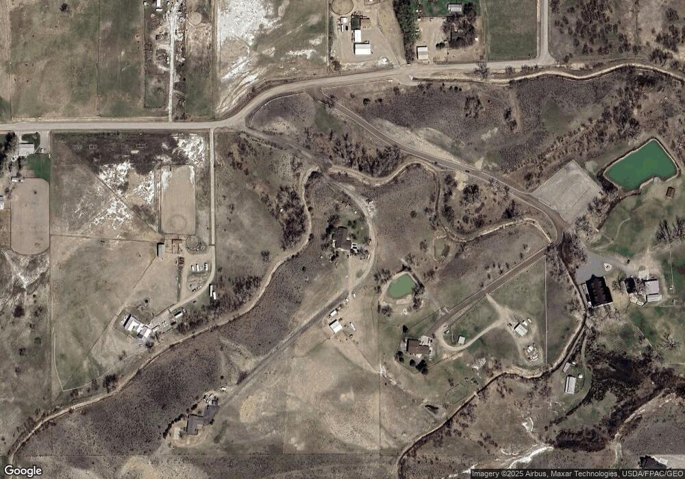
Map
Nearby Homes
- 8625 Sail Fish Dr
- 8542 Monad Rd
- 8428 Stillwater Dr
- 8650 Longmeadow Dr
- 8242 Wisner Ave
- 8129 Wisner Ave
- 8405 Blue Marlin Dr
- 545 Pike Ct
- 8039 Wisner Ave
- 7920 Eland Ave
- 615 Kenya Ct
- 7906 Monad Rd
- 243 S 80th St W
- 7804 Monad Rd
- 7824 Penta Cir
- 7801 Monad Rd
- 7623 N Leopard Ave
- 7805 Penta Cir
- 329 S Homewood Park Dr
- 6399 Signal Peak Ave
- 910 Eaglecrest Ridge
- 8848 Camelot Ln
- 9010 King Ave W
- 1010 Eaglecrest Ridge
- 8839 King Ave W
- 8736 Camelot Ln
- 9120 King Ave W
- 8705 Sail Fish Dr
- 8725 Sail Fish Dr
- 606 S 88th St W
- 8635 Sail Fish Dr
- 8720 Sail Fish Dr
- 8730 King Ave W
- 8710 Sail Fish Dr
- 8730 Sail Fish Dr
- 9225 King Ave W
- 8755 Sail Fish Dr
- 8766 Sail Fish Dr
- 560 Acres Hesper and King Ave
- 8615 Sail Fish Dr