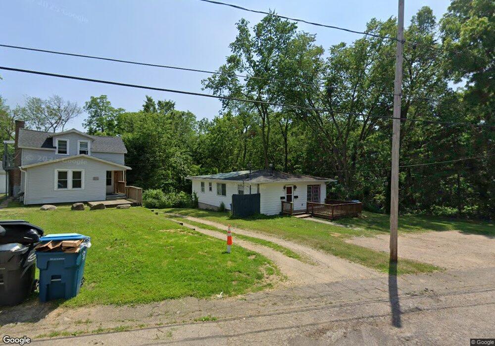
910 Sheridan Dr Kalamazoo, MI 49001
Milwood NeighborhoodEstimated Value: $180,000 - $225,000
5
Beds
2
Baths
1,157
Sq Ft
$176/Sq Ft
Est. Value
About This Home
This home is located at 910 Sheridan Dr, Kalamazoo, MI 49001 and is currently estimated at $203,573, approximately $175 per square foot. 910 Sheridan Dr is a home located in Kalamazoo County with nearby schools including Milwood Elementary School, Milwood Magnet School, and Loy Norrix High School.
Ownership History
Date
Name
Owned For
Owner Type
Purchase Details
Closed on
Feb 2, 2020
Sold by
Woodhams Tammy L
Bought by
Phillips Jacob
Current Estimated Value
Purchase Details
Closed on
Jun 16, 2006
Sold by
Dagostino Woodhams Tammy L
Bought by
Woodhams Tammy L
Home Financials for this Owner
Home Financials are based on the most recent Mortgage that was taken out on this home.
Original Mortgage
$70,000
Interest Rate
6.72%
Mortgage Type
Purchase Money Mortgage
Purchase Details
Closed on
Mar 31, 2005
Sold by
Kulinski John F and Kulinski Melissa A
Bought by
Deutsche Bank National Trust Co and Argent Securities Inc
Create a Home Valuation Report for This Property
The Home Valuation Report is an in-depth analysis detailing your home's value as well as a comparison with similar homes in the area
Home Values in the Area
Average Home Value in this Area
Purchase History
| Date | Buyer | Sale Price | Title Company |
|---|---|---|---|
| Phillips Jacob | $150,000 | Devon Title Company | |
| Woodhams Tammy L | -- | Devon Title | |
| Deutsche Bank National Trust Co | $96,894 | -- |
Source: Public Records
Mortgage History
| Date | Status | Borrower | Loan Amount |
|---|---|---|---|
| Previous Owner | Woodhams Tammy L | $70,000 |
Source: Public Records
Tax History Compared to Growth
Tax History
| Year | Tax Paid | Tax Assessment Tax Assessment Total Assessment is a certain percentage of the fair market value that is determined by local assessors to be the total taxable value of land and additions on the property. | Land | Improvement |
|---|---|---|---|---|
| 2025 | $4,193 | $73,100 | $0 | $0 |
| 2024 | $1,738 | $72,000 | $0 | $0 |
| 2023 | $1,656 | $65,100 | $0 | $0 |
| 2022 | $3,803 | $57,700 | $0 | $0 |
| 2021 | $2,729 | $53,200 | $0 | $0 |
| 2020 | $1,705 | $51,700 | $0 | $0 |
| 2019 | $2,218 | $44,100 | $0 | $0 |
| 2018 | $2,242 | $37,700 | $0 | $0 |
| 2017 | $2,143 | $34,700 | $0 | $0 |
| 2016 | $2,143 | $32,300 | $0 | $0 |
| 2015 | $2,143 | $32,300 | $0 | $0 |
| 2014 | $2,143 | $30,500 | $0 | $0 |
Source: Public Records
Map
Nearby Homes
- 915 Sheridan Dr
- 932 Sheridan Dr
- 3227 Saint Joseph St
- 1115 Cambridge Dr
- 1209 Cambridge Dr
- 910 Miller Rd
- 717 Royce Ave
- 1332 Royce Ave
- 3828 Dale St
- 2826 S Burdick St
- 828 Lakeway Ave
- 2624 Kalanco St
- 516 E Alcott St
- 1118 E Alcott St
- 1909 E Cork St
- 3831 Portage St
- 1510 Palmer Ave
- 913 Bryant St
- 2607 Outlook St
- 1118 Lane Blvd
- 914 Sheridan Dr
- 918 Sheridan Dr
- 907 Sheridan Dr
- 917 Sheridan Dr
- 921 Sheridan Dr
- 820 Monarch St
- 924 Sheridan Dr
- 912 Sheridan Dr
- 925 Sheridan Dr
- 928 Sheridan Dr
- 913 Pomeroy St
- 931 Sheridan Dr
- 2938 Burke St
- 931 Pomeroy St
- 2919 Burke St
- 2930 Burke St
- 2932 Burke St
- 935 Pomeroy St
- 938 Sheridan Dr
- 838 Monarch St