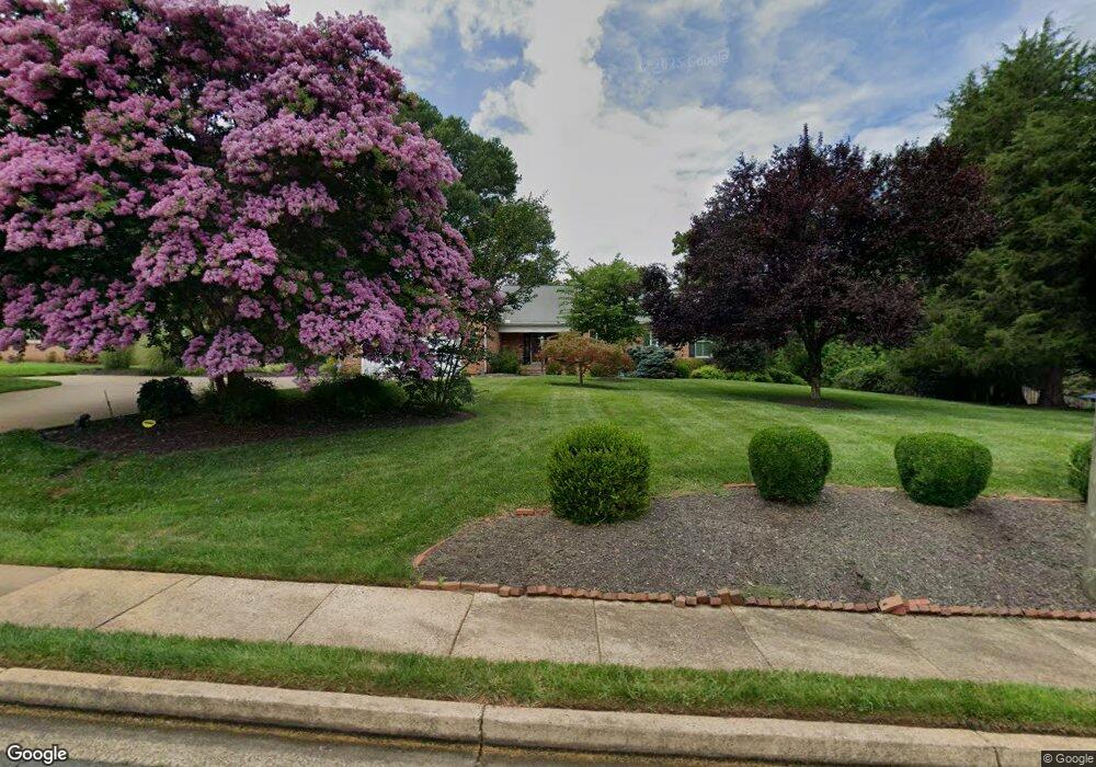
9104 Stonewall Rd Manassas, VA 20110
Estimated Value: $810,000 - $949,000
4
Beds
4
Baths
5,391
Sq Ft
$162/Sq Ft
Est. Value
About This Home
This home is located at 9104 Stonewall Rd, Manassas, VA 20110 and is currently estimated at $873,314, approximately $161 per square foot. 9104 Stonewall Rd is a home located in Manassas City with nearby schools including Richard C. Haydon Elementary School, Mayfield Intermediate School, and Grace E. Metz Middle School.
Ownership History
Date
Name
Owned For
Owner Type
Purchase Details
Closed on
May 25, 2010
Sold by
Waring James Patrick and Brown Elizabeth Anne
Bought by
Rochelle Michael D and Rochelle Grace H
Current Estimated Value
Home Financials for this Owner
Home Financials are based on the most recent Mortgage that was taken out on this home.
Original Mortgage
$487,350
Outstanding Balance
$329,834
Interest Rate
5.25%
Mortgage Type
VA
Estimated Equity
$543,480
Purchase Details
Closed on
Mar 28, 2002
Sold by
Childers James A
Bought by
Waring James Patrick
Create a Home Valuation Report for This Property
The Home Valuation Report is an in-depth analysis detailing your home's value as well as a comparison with similar homes in the area
Home Values in the Area
Average Home Value in this Area
Purchase History
| Date | Buyer | Sale Price | Title Company |
|---|---|---|---|
| Rochelle Michael D | $513,000 | Commonwealth Land Title Insu | |
| Waring James Patrick | $444,999 | -- |
Source: Public Records
Mortgage History
| Date | Status | Borrower | Loan Amount |
|---|---|---|---|
| Open | Rochelle Michael D | $487,350 |
Source: Public Records
Tax History Compared to Growth
Tax History
| Year | Tax Paid | Tax Assessment Tax Assessment Total Assessment is a certain percentage of the fair market value that is determined by local assessors to be the total taxable value of land and additions on the property. | Land | Improvement |
|---|---|---|---|---|
| 2024 | $10,112 | $802,500 | $238,500 | $564,000 |
| 2023 | $9,552 | $758,100 | $232,000 | $526,100 |
| 2022 | $9,315 | $694,100 | $201,500 | $492,600 |
| 2021 | $9,167 | $641,500 | $180,000 | $461,500 |
| 2020 | $9,065 | $620,900 | $174,500 | $446,400 |
| 2019 | $8,884 | $600,300 | $169,500 | $430,800 |
| 2018 | $8,411 | $576,100 | $161,500 | $414,600 |
| 2017 | -- | $574,800 | $161,500 | $413,300 |
| 2016 | $7,799 | $555,900 | $0 | $0 |
| 2015 | -- | $547,400 | $161,500 | $385,900 |
| 2014 | -- | $0 | $0 | $0 |
Source: Public Records
Map
Nearby Homes
- 9040 Grant Ave
- 9696 Zimbro Ave
- 9583 Center St
- 9557 Center St
- 9561 Center St
- 9413 Stonewall Rd
- 9523 Center St
- 9019 Sudley Rd
- 9469 Stonewall Rd
- 8657 Braxted Ln
- 9105 Ewell St
- 9309 West St
- 8751 Weir St
- 8959 Rolling Rd
- 8945 Sweetbriar St
- 9996 Confederate Trail
- 8940 Tarragon Ct
- 8755 Country Ln
- 8720 Sugarwood Ln Unit 1
- 9563 Jefferson St
- 9106 Stonewall Rd
- 9102 Stonewall Rd
- 9107 Park Ave
- 9425 Beauregard Ave
- 9105 Park Ave
- 9108 Stonewall Rd
- 9109 Park Ave
- 9109 Stonewall Rd
- 9110 Stonewall Rd
- 9103 Park Ave
- 9111 Stonewall Rd
- 9411 Stuart Ave
- 9426 Beauregard Ave
- 9111 Park Ave
- 9424 Beauregard Ave
- 9102 Park Ave
- 9108 Park Ave
- 9422 Beauregard Ave
- 9113 Stonewall Rd
- 9409 Stuart Ave