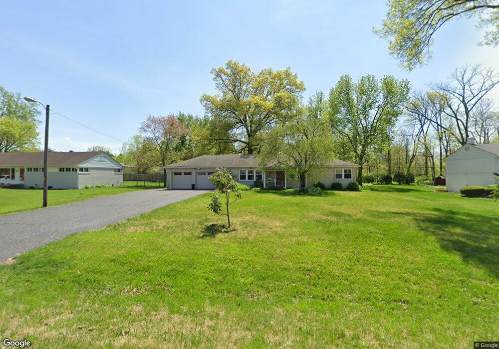
911 Maynard Dr Indianapolis, IN 46227
Estimated Value: $264,000 - $296,000
3
Beds
2
Baths
1,600
Sq Ft
$173/Sq Ft
Est. Value
About This Home
This home is located at 911 Maynard Dr, Indianapolis, IN 46227 and is currently estimated at $276,539, approximately $172 per square foot. 911 Maynard Dr is a home located in Marion County with nearby schools including Homecroft Elementary School, Southport 6th Grade Academy, and Southport Middle School.
Ownership History
Date
Name
Owned For
Owner Type
Purchase Details
Closed on
Apr 17, 2023
Sold by
James Fenrick and James Katherine
Bought by
James Family Living Trust
Current Estimated Value
Purchase Details
Closed on
Jun 30, 2008
Sold by
Townsend Bruce E
Bought by
James Fenrick and James Katherine
Home Financials for this Owner
Home Financials are based on the most recent Mortgage that was taken out on this home.
Original Mortgage
$133,119
Interest Rate
6.1%
Mortgage Type
FHA
Create a Home Valuation Report for This Property
The Home Valuation Report is an in-depth analysis detailing your home's value as well as a comparison with similar homes in the area
Home Values in the Area
Average Home Value in this Area
Purchase History
| Date | Buyer | Sale Price | Title Company |
|---|---|---|---|
| James Family Living Trust | -- | None Listed On Document | |
| James Fenrick | -- | Chicago Title Insurance Co |
Source: Public Records
Mortgage History
| Date | Status | Borrower | Loan Amount |
|---|---|---|---|
| Previous Owner | James Fenrick | $133,119 |
Source: Public Records
Tax History Compared to Growth
Tax History
| Year | Tax Paid | Tax Assessment Tax Assessment Total Assessment is a certain percentage of the fair market value that is determined by local assessors to be the total taxable value of land and additions on the property. | Land | Improvement |
|---|---|---|---|---|
| 2024 | $3,661 | $245,100 | $34,600 | $210,500 |
| 2023 | $3,661 | $257,100 | $34,600 | $222,500 |
| 2022 | $3,517 | $233,600 | $34,600 | $199,000 |
| 2021 | $2,933 | $200,000 | $34,600 | $165,400 |
| 2020 | $2,690 | $183,000 | $34,600 | $148,400 |
| 2019 | $2,076 | $151,500 | $27,700 | $123,800 |
| 2018 | $1,655 | $126,100 | $27,700 | $98,400 |
| 2017 | $1,620 | $124,800 | $27,700 | $97,100 |
| 2016 | $1,575 | $121,600 | $27,700 | $93,900 |
| 2014 | $1,214 | $115,700 | $27,700 | $88,000 |
| 2013 | $1,303 | $115,700 | $27,700 | $88,000 |
Source: Public Records
Map
Nearby Homes
- 931 Maynard Dr
- 6643 S New Jersey St
- 418 E Beechwood Ln
- 6560 Hi Vu Dr
- 410 E Southport Rd
- 1610 Southview Dr
- 667 E Edgewood Ave
- 5909 Shelby St
- 6712 Forrest Commons Blvd
- 6602 Madison Ave
- 6520 Forrest Commons Blvd
- 232 Bangor Dr
- 27 Forrests Edge Ct
- 6301 Madison Ave
- 150 E Beechwood Ln
- 6104 Madison Ave
- 1721 Southview Dr
- 20 Forrests Edge Ct
- 1433 E Brunswick Ave
- 7525 Surrey Dr
- 907 Maynard Dr
- 930 Southview Dr
- 949 Maynard Dr
- 940 Southview Dr
- 920 Southview Dr
- 950 Southview Dr
- 910 Southview Dr
- 901 Maynard Dr
- 900 Southview Dr
- 945 Southview Dr
- 905 Southview Dr
- 955 Southview Dr
- 901 Southview Dr
- 1001 Southview Dr
- 888 Southview Dr
- 1005 Southview Dr
- 930 Tulip Dr
- 940 Tulip Dr
- 920 Tulip Dr
- 940 Tulip Dr