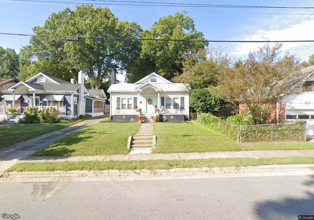
911 N Hamilton St High Point, NC 27262
Greater High Point NeighborhoodEstimated Value: $193,000 - $218,000
3
Beds
2
Baths
1,568
Sq Ft
$131/Sq Ft
Est. Value
About This Home
This home is located at 911 N Hamilton St, High Point, NC 27262 and is currently estimated at $205,317, approximately $130 per square foot. 911 N Hamilton St is a home located in Guilford County with nearby schools including Northwood Elementary School, Ferndale Middle School, and High Point Central High School.
Ownership History
Date
Name
Owned For
Owner Type
Purchase Details
Closed on
Jul 27, 2010
Sold by
Stranieri John D and Stranieri Laurette D
Bought by
Batchek Amber L
Current Estimated Value
Home Financials for this Owner
Home Financials are based on the most recent Mortgage that was taken out on this home.
Original Mortgage
$80,910
Outstanding Balance
$53,381
Interest Rate
4.5%
Mortgage Type
FHA
Estimated Equity
$151,936
Purchase Details
Closed on
Jun 20, 1991
Bought by
Stranieri John D
Create a Home Valuation Report for This Property
The Home Valuation Report is an in-depth analysis detailing your home's value as well as a comparison with similar homes in the area
Home Values in the Area
Average Home Value in this Area
Purchase History
| Date | Buyer | Sale Price | Title Company |
|---|---|---|---|
| Batchek Amber L | $82,000 | None Available | |
| Stranieri John D | $41,000 | -- |
Source: Public Records
Mortgage History
| Date | Status | Borrower | Loan Amount |
|---|---|---|---|
| Open | Batchek Amber L | $80,910 |
Source: Public Records
Tax History Compared to Growth
Tax History
| Year | Tax Paid | Tax Assessment Tax Assessment Total Assessment is a certain percentage of the fair market value that is determined by local assessors to be the total taxable value of land and additions on the property. | Land | Improvement |
|---|---|---|---|---|
| 2025 | $1,600 | $116,100 | $35,000 | $81,100 |
| 2024 | $1,600 | $116,100 | $35,000 | $81,100 |
| 2023 | $1,600 | $116,100 | $35,000 | $81,100 |
| 2022 | $1,565 | $116,100 | $35,000 | $81,100 |
| 2021 | $1,186 | $86,100 | $24,000 | $62,100 |
| 2020 | $1,186 | $86,100 | $24,000 | $62,100 |
| 2019 | $1,186 | $86,100 | $0 | $0 |
| 2018 | $1,181 | $86,100 | $0 | $0 |
| 2017 | $1,181 | $86,100 | $0 | $0 |
| 2016 | $743 | $53,000 | $0 | $0 |
| 2015 | $747 | $53,000 | $0 | $0 |
| 2014 | $760 | $53,000 | $0 | $0 |
Source: Public Records
Map
Nearby Homes
- 206 Louise Ave
- 1013 Johnson St
- 326 Louise Ave
- 207 Hillcrest Dr
- 719 Forrest St
- 505 Forrest St
- 300 Edgedale Dr
- 509 Woodrow Ave
- 803 Sunset Dr
- 1507 Larkin St
- 311 Rockspring Rd
- 934 Forrest St
- 601 W Westwood Ave
- 313 Rockspring Rd
- 315 Rockspring Rd
- 317 Rockspring Rd
- 321 Rockspring Rd
- 325 Rockspring Rd
- 323 Rockspring Rd
- 327 Rockspring Rd
- 909 N Hamilton St
- 210 Louise Ave
- 907 N Hamilton St
- 905 N Hamilton St
- 300 Louise Ave
- 910 Johnson St
- 908 Johnson St
- 912 Johnson St
- 906 Johnson St
- 302 Louise Ave
- 908 N Hamilton St
- 902 Johnson St
- 304 Louise Ave
- 209 Louise Ave
- 211 Louise Ave
- 902 N Hamilton St
- 900 Johnson St
- 301 Louise Ave
- 306 Louise Ave
- 900 N Hamilton St