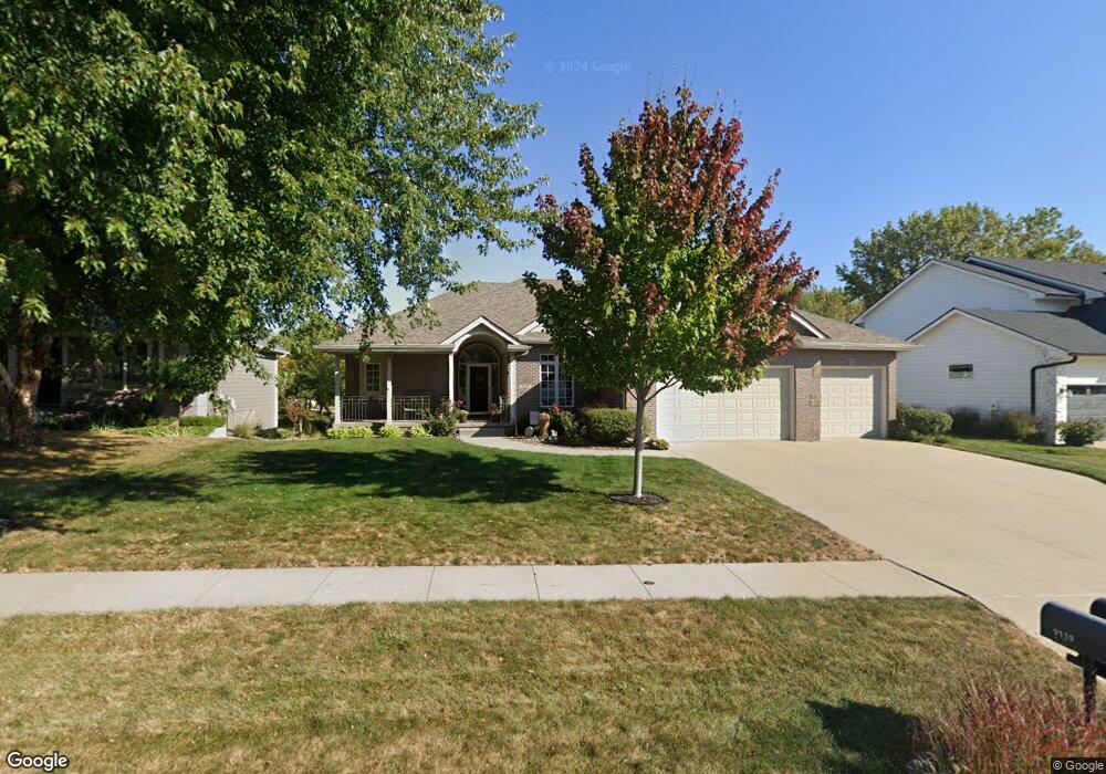
9119 Lenham Dr Johnston, IA 50131
Northwest Johnston NeighborhoodEstimated Value: $443,000 - $464,000
2
Beds
2
Baths
1,954
Sq Ft
$231/Sq Ft
Est. Value
About This Home
This home is located at 9119 Lenham Dr, Johnston, IA 50131 and is currently estimated at $451,549, approximately $231 per square foot. 9119 Lenham Dr is a home located in Polk County with nearby schools including Beaver Creek Elementary School, Summit Middle School, and Johnston Middle School.
Ownership History
Date
Name
Owned For
Owner Type
Purchase Details
Closed on
Jan 29, 2015
Sold by
Bosworth Randall L and Bosworth Jean M
Bought by
Bosworth Randall L and Jean M Bosworth R
Current Estimated Value
Purchase Details
Closed on
Nov 27, 2002
Sold by
Oakmark Builders Inc
Bought by
Bosworth Randall L and Bosworth Jean M
Home Financials for this Owner
Home Financials are based on the most recent Mortgage that was taken out on this home.
Original Mortgage
$100,000
Interest Rate
6.38%
Create a Home Valuation Report for This Property
The Home Valuation Report is an in-depth analysis detailing your home's value as well as a comparison with similar homes in the area
Home Values in the Area
Average Home Value in this Area
Purchase History
| Date | Buyer | Sale Price | Title Company |
|---|---|---|---|
| Bosworth Randall L | -- | None Available | |
| Bosworth Randall L | $290,000 | -- |
Source: Public Records
Mortgage History
| Date | Status | Borrower | Loan Amount |
|---|---|---|---|
| Previous Owner | Bosworth Randall L | $100,000 |
Source: Public Records
Tax History
| Year | Tax Paid | Tax Assessment Tax Assessment Total Assessment is a certain percentage of the fair market value that is determined by local assessors to be the total taxable value of land and additions on the property. | Land | Improvement |
|---|---|---|---|---|
| 2025 | $6,394 | $449,000 | $120,600 | $328,400 |
| 2024 | $6,394 | $407,300 | $107,300 | $300,000 |
| 2023 | $6,268 | $407,300 | $107,300 | $300,000 |
| 2022 | $7,002 | $341,000 | $93,600 | $247,400 |
| 2021 | $7,162 | $341,000 | $93,600 | $247,400 |
| 2020 | $7,038 | $332,100 | $91,000 | $241,100 |
| 2019 | $7,486 | $332,100 | $91,000 | $241,100 |
| 2018 | $7,290 | $327,300 | $87,000 | $240,300 |
| 2017 | $6,712 | $327,300 | $87,000 | $240,300 |
| 2016 | $6,566 | $296,400 | $73,600 | $222,800 |
| 2015 | $6,566 | $296,400 | $73,600 | $222,800 |
| 2014 | $5,952 | $266,400 | $65,300 | $201,100 |
Source: Public Records
Map
Nearby Homes
- 9115 Cowden Dr
- 9012 Telford Cir
- 6320 Sudbury Ct
- 6309 Sudbury Ct
- 9318 Huntington Cir
- 9136 Wooded Point Dr
- 6419 NW 97th St
- 6012 Stonepointe Ct
- 8932 Stonepointe Ln
- 9001 Windsor Pkwy Unit 317
- 9001 Windsor Pkwy Unit 302
- 5839 NW 90th St
- 5831 NW 90th St
- 5917 NW 90th St
- 5814 NW 90th St
- 8916 Beery Place
- 5908 NW 90th St
- 5920 NW 91st Ct
- 8905 Beery Place
- 7011 Lincoln Cir
- 9111 Lenham Dr
- 9127 Lenham Dr
- 9103 Lenham Dr
- 6503 Fullerton Ct
- 9116 Lenham Dr
- 9124 Lenham Dr
- 9108 Lenham Dr
- 9063 Lenham Dr
- 9100 Lenham Dr
- 9235 Cowden Dr
- 9055 Lenham Dr
- 9052 Lenham Dr
- 9111 Telford Cir
- 6601 Peckham St
- 9107 Telford Cir
- 6600 Romford Ct
- 6511 Fullerton Ct
- 9103 Telford Cir
- 9044 Lenham Dr
- 9227 Cowden Dr
Your Personal Tour Guide
Ask me questions while you tour the home.