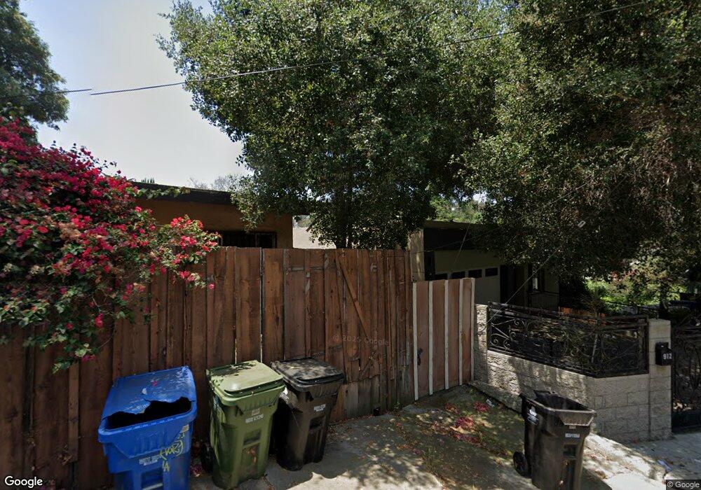
912 Dexter St Los Angeles, CA 90042
Estimated Value: $1,511,000 - $2,031,000
4
Beds
4
Baths
2,638
Sq Ft
$626/Sq Ft
Est. Value
About This Home
This home is located at 912 Dexter St, Los Angeles, CA 90042 and is currently estimated at $1,652,276, approximately $626 per square foot. 912 Dexter St is a home located in Los Angeles County with nearby schools including Buchanan Street Elementary, Benjamin Franklin High School, and Luther Burbank Middle School.
Ownership History
Date
Name
Owned For
Owner Type
Purchase Details
Closed on
Jun 5, 2012
Sold by
Pearman Kim H and Pearman Carol P
Bought by
Calderon Juan and Calderon Aida
Current Estimated Value
Purchase Details
Closed on
Sep 6, 2000
Sold by
Trust Pearman Kim H Co Tr Pearman Family and Pearman Carol P
Bought by
Pearman Kim H and Pearman Carol P
Purchase Details
Closed on
Dec 28, 1993
Sold by
Izquierdo Xavier and Menendez Luis
Bought by
Pearman Kim H and Pearman Carol P
Create a Home Valuation Report for This Property
The Home Valuation Report is an in-depth analysis detailing your home's value as well as a comparison with similar homes in the area
Home Values in the Area
Average Home Value in this Area
Purchase History
| Date | Buyer | Sale Price | Title Company |
|---|---|---|---|
| Calderon Juan | $40,000 | Priority Title Company | |
| Pearman Kim H | -- | -- | |
| Pearman Kim H | $18,500 | Stewart Title | |
| Izquierdo Xavier | -- | Stewart Title | |
| Izquierdo Xavier | -- | Stewart Title |
Source: Public Records
Tax History Compared to Growth
Tax History
| Year | Tax Paid | Tax Assessment Tax Assessment Total Assessment is a certain percentage of the fair market value that is determined by local assessors to be the total taxable value of land and additions on the property. | Land | Improvement |
|---|---|---|---|---|
| 2025 | $5,971 | $485,023 | $49,250 | $435,773 |
| 2024 | $5,971 | $475,514 | $48,285 | $427,229 |
| 2023 | $5,858 | $466,191 | $47,339 | $418,852 |
| 2022 | $5,588 | $457,051 | $46,411 | $410,640 |
| 2021 | $5,589 | $448,090 | $45,501 | $402,589 |
| 2020 | $5,641 | $443,496 | $45,035 | $398,461 |
| 2019 | $5,424 | $434,801 | $44,152 | $390,649 |
| 2018 | $3,861 | $320,649 | $43,287 | $277,362 |
| 2016 | $2,130 | $176,847 | $41,607 | $135,240 |
| 2015 | $505 | $40,983 | $40,983 | $0 |
| 2014 | $509 | $40,181 | $40,181 | $0 |
Source: Public Records
Map
Nearby Homes
- 925 927 El Paso Dr
- 865 N Avenue 50
- 4844 San Rafael Ave
- 1017 Dexter St
- 917 N Avenue 51
- 787 Terrace 49
- 1037 N Avenue 50
- 1048 Dexter St
- 768 N Avenue 50
- 4780 Hub St
- 4824 Toland Way
- 5055 Hub St
- 1113 N Avenue 50
- 722 Terrace 49
- 4854 Buchanan St
- 4925 Buchanan St
- 5037 Montezuma St
- 1087 Oneonta Dr
- 1127 Oneonta Dr
- 1336 Armadale Ave