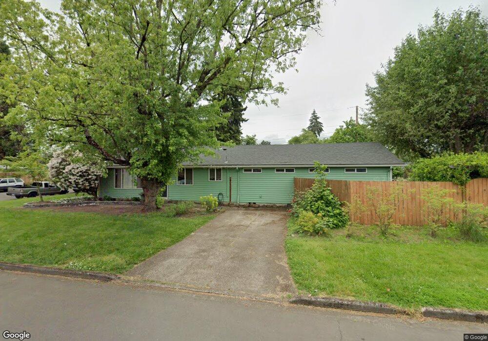
912 Skipper Ave Eugene, OR 97404
River Road NeighborhoodEstimated Value: $406,553 - $449,000
3
Beds
2
Baths
1,664
Sq Ft
$257/Sq Ft
Est. Value
About This Home
This home is located at 912 Skipper Ave, Eugene, OR 97404 and is currently estimated at $428,388, approximately $257 per square foot. 912 Skipper Ave is a home located in Lane County with nearby schools including Howard Elementary School, Kelly Middle School, and North Eugene High School.
Ownership History
Date
Name
Owned For
Owner Type
Purchase Details
Closed on
Mar 16, 2012
Sold by
Kemp Dorothy A
Bought by
Rodman Brian A and Hurlocker Jessica Shay
Current Estimated Value
Home Financials for this Owner
Home Financials are based on the most recent Mortgage that was taken out on this home.
Original Mortgage
$160,550
Outstanding Balance
$109,676
Interest Rate
3.83%
Mortgage Type
New Conventional
Estimated Equity
$318,712
Create a Home Valuation Report for This Property
The Home Valuation Report is an in-depth analysis detailing your home's value as well as a comparison with similar homes in the area
Home Values in the Area
Average Home Value in this Area
Purchase History
| Date | Buyer | Sale Price | Title Company |
|---|---|---|---|
| Rodman Brian A | $169,000 | Western Title & Escrow Compa |
Source: Public Records
Mortgage History
| Date | Status | Borrower | Loan Amount |
|---|---|---|---|
| Open | Rodman Brian A | $160,550 |
Source: Public Records
Tax History
| Year | Tax Paid | Tax Assessment Tax Assessment Total Assessment is a certain percentage of the fair market value that is determined by local assessors to be the total taxable value of land and additions on the property. | Land | Improvement |
|---|---|---|---|---|
| 2025 | $3,336 | $204,350 | -- | -- |
| 2024 | $3,301 | $198,399 | -- | -- |
| 2023 | $3,301 | $192,621 | $0 | $0 |
| 2022 | $3,105 | $187,011 | $0 | $0 |
| 2021 | $2,884 | $181,565 | $0 | $0 |
| 2020 | $2,907 | $176,277 | $0 | $0 |
| 2019 | $2,804 | $171,143 | $0 | $0 |
| 2018 | $2,613 | $161,319 | $0 | $0 |
| 2017 | $2,452 | $161,319 | $0 | $0 |
| 2016 | $2,313 | $156,620 | $0 | $0 |
| 2015 | $2,227 | $152,058 | $0 | $0 |
| 2014 | $2,159 | $147,629 | $0 | $0 |
Source: Public Records
Map
Nearby Homes
- 2563 York St
- 1755 Brentwood Ave
- 303 Lenore Loop
- 401 Sterling Dr
- 1384 David Ave
- 1682 Hemlock St
- 2488 Northampton
- 2740 Stark St
- 2439 Quince St
- 349 Irving Rd
- 193 Santa Clara Ave
- 215 Jonquil Ave
- 200 Irving Rd
- 1880 Manihi Dr
- 2484 Crowther Dr
- 2937 Stark St
- 389 Maxwell Rd
- 2923 Maranta St
- 2580 Crowther Dr
- 1410 Lake Dr
- 2176 N Park Ave
- 980 Skipper Ave
- 2171 Berwin Ln
- 2160 N Park Ave
- 892 Skipper Ave
- 923 Skipper Ave
- 911 Skipper Ave
- 955 Skipper Ave
- 895 Skipper Ave
- 893 Ivy Ave
- 2155 Berwin Ln
- 989 Skipper Ave Unit 1
- 989 Skipper Ave
- 2144 N Park Ave
- 887 Skipper Ave
- 880 Skipper Ave
- 881 Ivy Ave
- 1020 Skipper Ave
- 1025 Skipper Ave
- 2139 Berwin Ln
Your Personal Tour Guide
Ask me questions while you tour the home.