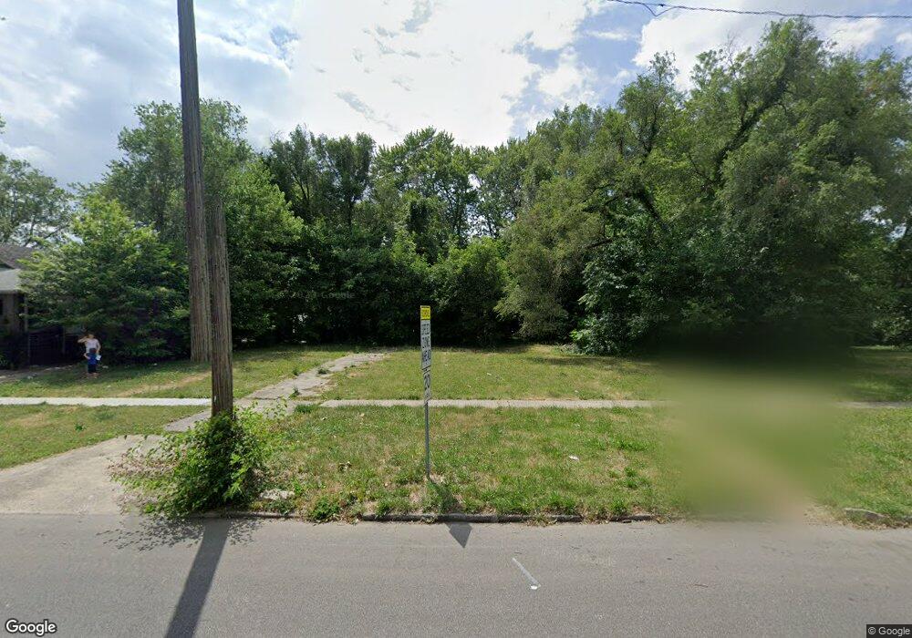
913 S 15th St Springfield, IL 62703
Springfield Far East District NeighborhoodEstimated Value: $15,000
4
Beds
1
Bath
1,332
Sq Ft
$11/Sq Ft
Est. Value
About This Home
This home is located at 913 S 15th St, Springfield, IL 62703 and is currently priced at $15,000, approximately $11 per square foot. 913 S 15th St is a home located in Sangamon County with nearby schools including Elizabeth Graham Elementary School, U.S. Grant Middle School, and Springfield High School.
Ownership History
Date
Name
Owned For
Owner Type
Purchase Details
Closed on
Jan 26, 2022
Sold by
Trust No 14-340-436-013
Bought by
City Of Springfield
Current Estimated Value
Purchase Details
Closed on
Aug 28, 2020
Sold by
County Clerk Of County Of Sangamon
Bought by
Trust No 14-340-436-013
Purchase Details
Closed on
Sep 28, 2012
Purchase Details
Closed on
Nov 16, 2010
Purchase Details
Closed on
Jun 11, 2010
Purchase Details
Closed on
Mar 24, 2007
Purchase Details
Closed on
Sep 6, 2002
Purchase Details
Closed on
Jun 7, 2001
Create a Home Valuation Report for This Property
The Home Valuation Report is an in-depth analysis detailing your home's value as well as a comparison with similar homes in the area
Home Values in the Area
Average Home Value in this Area
Purchase History
| Date | Buyer | Sale Price | Title Company |
|---|---|---|---|
| City Of Springfield | -- | Wallace Neal J | |
| Trust No 14-340-436-013 | -- | Schrimpf Stephen P | |
| -- | -- | -- | |
| -- | -- | -- | |
| -- | -- | -- | |
| -- | -- | -- | |
| -- | -- | -- | |
| -- | $7,000 | -- |
Source: Public Records
Tax History
| Year | Tax Paid | Tax Assessment Tax Assessment Total Assessment is a certain percentage of the fair market value that is determined by local assessors to be the total taxable value of land and additions on the property. | Land | Improvement |
|---|---|---|---|---|
| 2024 | -- | $0 | $0 | $0 |
| 2023 | -- | $0 | $0 | $0 |
| 2022 | $19 | $216 | $216 | $0 |
| 2021 | $0 | $1,301 | $1,301 | $0 |
| 2020 | $0 | $1,303 | $1,303 | $0 |
| 2019 | $113 | $1,298 | $1,298 | $0 |
| 2018 | $109 | $1,292 | $1,292 | $0 |
| 2017 | $107 | $1,275 | $1,275 | $0 |
| 2016 | $105 | $1,256 | $1,256 | $0 |
| 2015 | $104 | $1,241 | $1,241 | $0 |
| 2014 | $102 | $1,233 | $1,233 | $0 |
| 2013 | $100 | $1,233 | $1,233 | $0 |
Source: Public Records
Map
Nearby Homes
- 1405 E Edwards St
- 1529 E Edwards St
- 1909 E Cedar St
- 718 S 7th St Unit 1003
- 718 S 7th St Unit 405
- 2238 E Stuart St
- 2128 E Capitol Ave
- 1838 S 19th St
- 725 E Spruce St
- 1025 S 5th St
- 1415 E Jefferson St
- 1942 S 11th St
- 2325 E Spruce St
- 8 S Old State Capitol Plaza Unit A
- 910 S 2nd St
- 2236 E Adams St
- 2154 S 13th St
- 2160 S 14th St
- 1711 S 5th St
- 222 S David St
Your Personal Tour Guide
Ask me questions while you tour the home.