9131 Mobile Hwy Unit LT7 Pensacola, FL 32526
Beulah NeighborhoodEstimated Value: $77,032 - $276,000
--
Bed
1
Bath
863
Sq Ft
$214/Sq Ft
Est. Value
About This Home
This home is located at 9131 Mobile Hwy Unit LT7, Pensacola, FL 32526 and is currently estimated at $184,258, approximately $213 per square foot. 9131 Mobile Hwy Unit LT7 is a home located in Escambia County with nearby schools including Beulah Elementary School, Beulah Middle School, and Pine Forest High School.
Ownership History
Date
Name
Owned For
Owner Type
Purchase Details
Closed on
Apr 15, 2019
Sold by
Lawson Margaret
Bought by
Beulah Property Investments Llc
Current Estimated Value
Purchase Details
Closed on
Jul 7, 2015
Sold by
Burleson Claude W
Bought by
Lawson Margaret H
Purchase Details
Closed on
Jun 12, 2015
Sold by
Mclain Russell E
Bought by
Burleson Claude W
Purchase Details
Closed on
Oct 23, 2006
Sold by
Mclain James R
Bought by
Mclain Russell E
Create a Home Valuation Report for This Property
The Home Valuation Report is an in-depth analysis detailing your home's value as well as a comparison with similar homes in the area
Home Values in the Area
Average Home Value in this Area
Purchase History
| Date | Buyer | Sale Price | Title Company |
|---|---|---|---|
| Beulah Property Investments Llc | $120,000 | Attorney | |
| Lawson Margaret H | -- | None Available | |
| Burleson Claude W | -- | None Available | |
| Mclain Russell E | $50,000 | None Available |
Source: Public Records
Tax History Compared to Growth
Tax History
| Year | Tax Paid | Tax Assessment Tax Assessment Total Assessment is a certain percentage of the fair market value that is determined by local assessors to be the total taxable value of land and additions on the property. | Land | Improvement |
|---|---|---|---|---|
| 2024 | $761 | $51,224 | $13,300 | $37,924 |
| 2023 | $761 | $47,069 | $0 | $0 |
| 2022 | $707 | $44,336 | $13,300 | $31,036 |
| 2021 | $664 | $38,900 | $0 | $0 |
| 2020 | $612 | $35,724 | $0 | $0 |
| 2019 | $609 | $35,178 | $0 | $0 |
| 2018 | $598 | $33,683 | $0 | $0 |
| 2017 | $584 | $32,002 | $0 | $0 |
| 2016 | $595 | $32,222 | $0 | $0 |
| 2015 | $577 | $32,190 | $0 | $0 |
| 2014 | $553 | $31,162 | $0 | $0 |
Source: Public Records
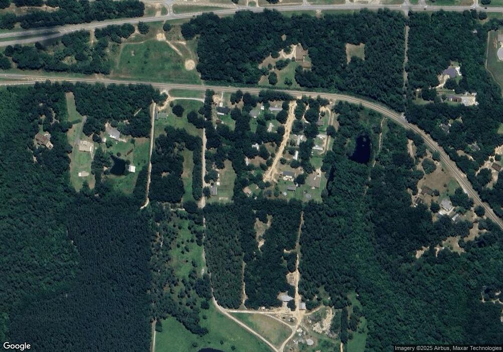
Map
Nearby Homes
- 8271 Mobile Hwy
- 9454 Lutoo Ln
- 8251 Mobile Hwy
- 9570 Tower Ridge Rd
- 6031 Crimson Pointe Blvd
- 9511 Crimson Pointe Cir
- 9691 Angel Oak Dr
- 9687 Angel Oak Dr
- 9699 Angel Oak Dr
- 9528 Crimson Pointe Cir
- 8056 Stream Ridge Rd
- 6000 W Nine Mile Rd
- 7616 Burnside Loop
- 5900 BLK Beulah Church Rd
- 14000 Tower Ridge Rd
- 6654 Sun Tree Cir
- 7597 Burnside Loop
- 9953 Suwanee Ln
- 9920 Rebel Rd
- 9777 Windy Hill Rd
- 9131 Mobile Hwy Unit Lot 1
- 9131 Mobile Hwy Unit 6
- 9131 Mobile Hwy Unit 3
- 9131 Mobile Hwy Unit 8
- 9131 Mobile Hwy Unit 12
- 8959 Mobile Hwy
- 9101 Mobile Hwy
- 9151 Mobile Hwy
- 8080 Belle Pines Ln
- 8060 Belle Pines Ln
- 8371 Mobile Hwy
- 9161 Mobile Hwy
- 6555 W Nine Mile Rd
- 8357 Mobile Hwy
- 8350 Mobile Hwy
- 9200 Mobile Hwy
- 8351 Mobile Hwy
- 9201 Wahoo Dr
- 9314 Bridlewood Rd
- 8340 Mobile Hwy