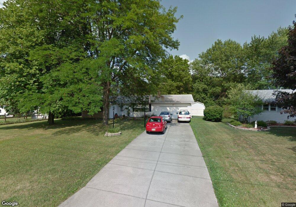
915 Kirwan Dr Youngstown, OH 44515
Austintown NeighborhoodEstimated Value: $164,791 - $186,000
3
Beds
1
Bath
1,152
Sq Ft
$153/Sq Ft
Est. Value
About This Home
This home is located at 915 Kirwan Dr, Youngstown, OH 44515 and is currently estimated at $175,948, approximately $152 per square foot. 915 Kirwan Dr is a home located in Mahoning County with nearby schools including Austintown Elementary School, Austintown Intermediate School, and Austintown Middle School.
Ownership History
Date
Name
Owned For
Owner Type
Purchase Details
Closed on
May 15, 2001
Sold by
Seka Michael J and Seka Linda M
Bought by
Hyland Angela C
Current Estimated Value
Home Financials for this Owner
Home Financials are based on the most recent Mortgage that was taken out on this home.
Original Mortgage
$69,500
Outstanding Balance
$25,932
Interest Rate
7.02%
Estimated Equity
$150,016
Purchase Details
Closed on
Dec 4, 1995
Sold by
Goedecker Ronald
Bought by
Seka Michael J and Seka Linda M
Home Financials for this Owner
Home Financials are based on the most recent Mortgage that was taken out on this home.
Original Mortgage
$52,000
Interest Rate
7.44%
Mortgage Type
New Conventional
Purchase Details
Closed on
Jan 1, 1990
Bought by
Goedecker Ronald and Goedecker C
Create a Home Valuation Report for This Property
The Home Valuation Report is an in-depth analysis detailing your home's value as well as a comparison with similar homes in the area
Home Values in the Area
Average Home Value in this Area
Purchase History
| Date | Buyer | Sale Price | Title Company |
|---|---|---|---|
| Hyland Angela C | $86,900 | -- | |
| Seka Michael J | $65,000 | -- | |
| Goedecker Ronald | -- | -- |
Source: Public Records
Mortgage History
| Date | Status | Borrower | Loan Amount |
|---|---|---|---|
| Open | Hyland Angela C | $69,500 | |
| Previous Owner | Seka Michael J | $52,000 |
Source: Public Records
Tax History Compared to Growth
Tax History
| Year | Tax Paid | Tax Assessment Tax Assessment Total Assessment is a certain percentage of the fair market value that is determined by local assessors to be the total taxable value of land and additions on the property. | Land | Improvement |
|---|---|---|---|---|
| 2024 | $1,808 | $39,000 | $7,720 | $31,280 |
| 2023 | $1,775 | $39,000 | $7,720 | $31,280 |
| 2022 | $1,733 | $30,570 | $7,260 | $23,310 |
| 2021 | $1,733 | $30,570 | $7,260 | $23,310 |
| 2020 | $1,741 | $30,570 | $7,260 | $23,310 |
| 2019 | $1,722 | $27,300 | $6,490 | $20,810 |
| 2018 | $1,658 | $27,300 | $6,490 | $20,810 |
| 2017 | $1,641 | $27,300 | $6,490 | $20,810 |
| 2016 | $1,670 | $27,500 | $6,790 | $20,710 |
| 2015 | $1,620 | $27,500 | $6,790 | $20,710 |
| 2014 | $1,626 | $27,500 | $6,790 | $20,710 |
| 2013 | $1,608 | $27,500 | $6,790 | $20,710 |
Source: Public Records
Map
Nearby Homes
- 3811 Artmar Dr
- 653 S Meridian Rd
- 532 Westgate Blvd
- 565 S Meridian Rd
- 902 S Meridian Rd
- 252 Rosemont Ave
- 263 S Main St
- 4102 Burkey Rd
- 3828 Oakleigh Ave
- 425 Southward Dr
- 136 Rosemont Ave
- 97 S Four Mile Run Rd
- 255 S Beverly Ave
- 1560 S Meridian Rd
- 208 S Roanoke Ave
- 404 S Bon Air Ave
- 370 S Bon Air Ave
- 4234 Burkey Rd
- 102 Parkgate Ave
- 209 S Beverly Ave
- 923 Kirwan Dr
- 3825 Artmar Dr
- 3817 Artmar Dr
- 930 Collins Ave
- 920 Collins Ave
- 940 Collins Ave
- 914 Kirwan Dr
- 931 Kirwan Dr
- 3835 Artmar Dr
- 3805 Artmar Dr
- 922 Kirwan Dr
- 948 Collins Ave
- 939 Kirwan Dr
- 930 Kirwan Dr
- 3841 Artmar Dr
- 954 Collins Ave
- 3820 Artmar Dr
- 3826 Artmar Dr
- 923 Collins Ave
- 915 Collins Ave